36 Eastern Shore Rd Brunswick, ME 04011
Estimated Value: $570,000
--
Bed
--
Bath
900
Sq Ft
$633/Sq Ft
Est. Value
About This Home
This home is located at 36 Eastern Shore Rd, Brunswick, ME 04011 and is currently priced at $570,000, approximately $633 per square foot. 36 Eastern Shore Rd is a home located in Cumberland County with nearby schools including Priest Elementary-Middle School, Kate Furbish Elementary School, and Brunswick Jr High School.
Ownership History
Date
Name
Owned For
Owner Type
Purchase Details
Closed on
Feb 15, 2017
Sold by
Marsh Judith D
Bought by
Marsh Damien M
Current Estimated Value
Purchase Details
Closed on
Feb 6, 2015
Sold by
Marsh Judith D
Bought by
Marsh Damien M
Purchase Details
Closed on
Nov 18, 2009
Sold by
Marsh Judith D
Bought by
Marsh Damien M
Create a Home Valuation Report for This Property
The Home Valuation Report is an in-depth analysis detailing your home's value as well as a comparison with similar homes in the area
Home Values in the Area
Average Home Value in this Area
Purchase History
| Date | Buyer | Sale Price | Title Company |
|---|---|---|---|
| Marsh Damien M | -- | -- | |
| Marsh Damien M | -- | -- | |
| Marsh Damien M | -- | -- | |
| Marsh Judith D | -- | -- |
Source: Public Records
Tax History Compared to Growth
Tax History
| Year | Tax Paid | Tax Assessment Tax Assessment Total Assessment is a certain percentage of the fair market value that is determined by local assessors to be the total taxable value of land and additions on the property. | Land | Improvement |
|---|---|---|---|---|
| 2024 | $24,585 | $1,030,800 | $313,400 | $717,400 |
| 2023 | $13,948 | $598,900 | $313,400 | $285,500 |
| 2022 | $12,765 | $588,500 | $313,400 | $275,100 |
| 2021 | $12,138 | $581,900 | $313,400 | $268,500 |
| 2020 | $11,853 | $581,900 | $313,400 | $268,500 |
| 2019 | $11,475 | $581,900 | $313,400 | $268,500 |
| 2018 | $11,010 | $581,900 | $313,400 | $268,500 |
| 2017 | $10,690 | $581,900 | $313,400 | $268,500 |
| 2016 | $10,498 | $357,700 | $178,500 | $179,200 |
| 2015 | $10,144 | $357,700 | $178,500 | $179,200 |
| 2014 | $9,801 | $357,700 | $178,500 | $179,200 |
| 2013 | $9,493 | $357,700 | $178,500 | $179,200 |
Source: Public Records
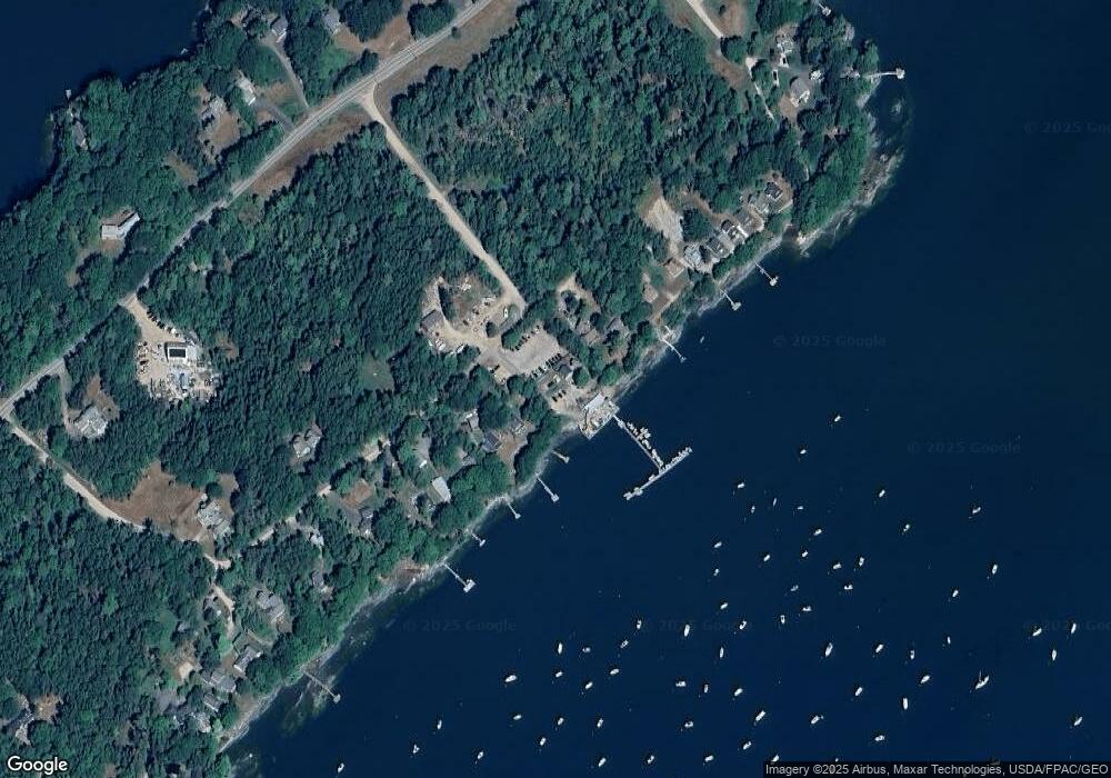
Map
Nearby Homes
- 46 Blackstone Club Rd
- Map 80 Lot 18-0 White Island
- 83 Central Ave
- 853 Mere Point Rd
- 0 Gundalo Gap Rd Unit 1638108
- 34 Newfield Rd
- 270 Harpswell Neck Rd
- Lot 129 Harpswell Neck Rd
- Lot 2A Allen Point Rd
- Lot 2B Allen Point Rd
- 41 Spruce Brook Dr
- 71 Merganser Way
- 57 Crestview Ln
- 5 Round Hill Ln
- 1 Mallard Pond Rd
- 46 Casco Rd
- 206 Woodside Rd
- 250 Mere Point Rd
- 6 Chebeague Ln
- 49 Gleed Dr
- 42 Eastern Shore Rd
- 44 Eastern Shore Rd
- 35 Gallows Island Rd
- 53 Gallows Island Rd
- 30 Eastern Shore Rd
- 57 Gallows Island Rd
- 26 Eastern Shore Rd
- 50, 48 Blackstone Club Rd
- 22 Eastern Shore Rd
- 50 Blackstone Club Rd
- 50 Blackstone Club Rd
- 50 Blackstone Club Rd
- 50 Blackstone Club Rd
- 50 Blackstone Club Rd
- 18 Eastern Shore Rd
- 44 Blackstone Club Rd
- 16 Eastern Shore Rd Unit 2
- 42 Blackstone Club Rd
- 48 Blackstone Club Rd
- 12 Eastern Shore Rd Unit 1