36 Log Plain Rd Greenfield, MA 01301
Estimated Value: $1,150,851
3
Beds
2
Baths
2,264
Sq Ft
$508/Sq Ft
Est. Value
About This Home
This home is located at 36 Log Plain Rd, Greenfield, MA 01301 and is currently estimated at $1,150,851, approximately $508 per square foot. 36 Log Plain Rd is a home located in Franklin County with nearby schools including Greenfield Center School and Stoneleigh-Burnham School.
Ownership History
Date
Name
Owned For
Owner Type
Purchase Details
Closed on
Jun 10, 2013
Sold by
Carey Robert R
Bought by
Davis Allen G and Davis Kimberly A
Current Estimated Value
Purchase Details
Closed on
Jun 14, 2002
Sold by
Lafleur Constance M
Bought by
Davis Allan G and Davis Kimberly A
Home Financials for this Owner
Home Financials are based on the most recent Mortgage that was taken out on this home.
Original Mortgage
$50,000
Interest Rate
6.8%
Mortgage Type
Purchase Money Mortgage
Create a Home Valuation Report for This Property
The Home Valuation Report is an in-depth analysis detailing your home's value as well as a comparison with similar homes in the area
Home Values in the Area
Average Home Value in this Area
Purchase History
| Date | Buyer | Sale Price | Title Company |
|---|---|---|---|
| Davis Allen G | -- | -- | |
| Carey Robert R | -- | -- | |
| Carey Robert R | -- | -- | |
| Davis Allan G | $387,500 | -- | |
| Davis Allan G | $387,500 | -- |
Source: Public Records
Mortgage History
| Date | Status | Borrower | Loan Amount |
|---|---|---|---|
| Previous Owner | Davis Allan G | $50,000 |
Source: Public Records
Tax History
| Year | Tax Paid | Tax Assessment Tax Assessment Total Assessment is a certain percentage of the fair market value that is determined by local assessors to be the total taxable value of land and additions on the property. | Land | Improvement |
|---|---|---|---|---|
| 2025 | $14,111 | $721,442 | $306,842 | $414,600 |
| 2024 | $14,029 | $688,042 | $273,642 | $414,400 |
| 2023 | $12,824 | $652,642 | $273,642 | $379,000 |
| 2022 | $13,750 | $616,042 | $283,642 | $332,400 |
| 2021 | $13,460 | $579,676 | $287,476 | $292,200 |
| 2020 | $19,737 | $860,754 | $577,454 | $283,300 |
| 2019 | $16,633 | $743,854 | $407,354 | $336,500 |
| 2018 | $16,626 | $741,254 | $406,154 | $335,100 |
| 2017 | $8,858 | $407,657 | $72,557 | $335,100 |
| 2016 | $9,033 | $414,157 | $72,557 | $341,600 |
| 2015 | $16,512 | $733,554 | $407,754 | $325,800 |
| 2014 | $8,199 | $399,357 | $74,157 | $325,200 |
Source: Public Records
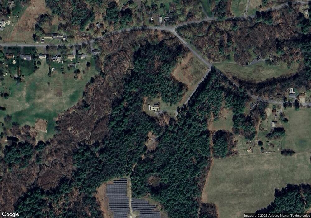
Map
Nearby Homes
- 34 Brookside Ave
- 85 Verde Dr
- 25 Barton Rd
- 001 Adams Rd
- 696 Bernardston Rd
- 47 Cross St
- 18 Lillian St
- 75 South St Unit 3
- 9 Hancock Ln
- 132 Poplar St
- 77 Summer St
- 539 Fox Hill Rd
- 20 Dunnell Rd
- 108 Nelson Rd
- 0 Fox Hill Rd Unit 73477185
- 372 Federal St
- 23 Industrial Dr
- 171 Cleveland St
- 37 Cleveland St
- 6 Burrows Turnpike Rd
- 0 Log Plain Rd E Unit 30354236
- 0 Log Plain Rd E Unit 72726562
- 3 Log Plain Rd
- 1 Log Plain Rd
- 298 Barton Rd
- 331 Barton Rd
- 290 Barton Rd
- 52 Log Plain Rd
- 286 Barton Rd
- 301 Barton Rd
- 315 Barton Rd
- 56 Log Plain Rd
- 278 Barton Rd
- 62 Log Plain Rd
- 63 Log Plain Rd
- 283 Barton Rd
- 274 Barton Rd
- 35 Log Plain Rd
- 264 Barton Rd
- 67 Log Plain Rd
Your Personal Tour Guide
Ask me questions while you tour the home.