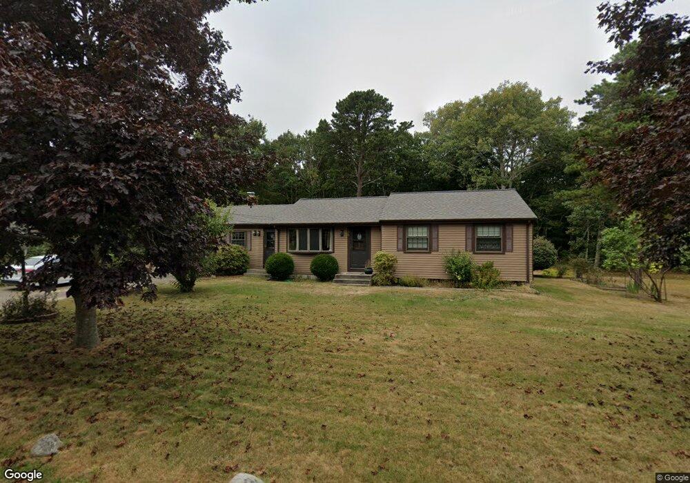
36 Meredith Dr East Falmouth, MA 02536
Hatchville NeighborhoodEstimated Value: $502,000 - $636,000
3
Beds
2
Baths
1,801
Sq Ft
$313/Sq Ft
Est. Value
About This Home
This home is located at 36 Meredith Dr, East Falmouth, MA 02536 and is currently estimated at $563,415, approximately $312 per square foot. 36 Meredith Dr is a home located in Barnstable County with nearby schools including Mullen-Hall School, Morse Pond School, and Lawrence School.
Ownership History
Date
Name
Owned For
Owner Type
Purchase Details
Closed on
Jul 11, 2000
Sold by
Jousou Oussama M
Bought by
Parmenter Marjorie J
Current Estimated Value
Purchase Details
Closed on
Sep 1, 1999
Sold by
Samelson Roger M and Samelson Melora M
Bought by
Jousou Oussama M
Home Financials for this Owner
Home Financials are based on the most recent Mortgage that was taken out on this home.
Original Mortgage
$143,550
Interest Rate
7.5%
Mortgage Type
Purchase Money Mortgage
Purchase Details
Closed on
Aug 31, 1989
Sold by
Boreman John G
Bought by
Samelson Roger M
Create a Home Valuation Report for This Property
The Home Valuation Report is an in-depth analysis detailing your home's value as well as a comparison with similar homes in the area
Home Values in the Area
Average Home Value in this Area
Purchase History
| Date | Buyer | Sale Price | Title Company |
|---|---|---|---|
| Parmenter Marjorie J | $169,900 | -- | |
| Parmenter Marjorie J | $169,900 | -- | |
| Jousou Oussama M | $148,000 | -- | |
| Jousou Oussama M | $148,000 | -- | |
| Samelson Roger M | $139,900 | -- | |
| Samelson Roger M | $139,900 | -- |
Source: Public Records
Mortgage History
| Date | Status | Borrower | Loan Amount |
|---|---|---|---|
| Previous Owner | Samelson Roger M | $143,550 | |
| Previous Owner | Samelson Roger M | $104,800 |
Source: Public Records
Tax History Compared to Growth
Tax History
| Year | Tax Paid | Tax Assessment Tax Assessment Total Assessment is a certain percentage of the fair market value that is determined by local assessors to be the total taxable value of land and additions on the property. | Land | Improvement |
|---|---|---|---|---|
| 2025 | $2,713 | $462,100 | $140,700 | $321,400 |
| 2024 | $2,672 | $425,400 | $133,300 | $292,100 |
| 2023 | $2,659 | $384,200 | $133,300 | $250,900 |
| 2022 | $2,544 | $316,000 | $100,500 | $215,500 |
| 2021 | $2,468 | $290,300 | $96,100 | $194,200 |
| 2020 | $2,419 | $281,600 | $87,400 | $194,200 |
| 2019 | $2,144 | $250,500 | $87,400 | $163,100 |
| 2018 | $2,074 | $241,200 | $87,400 | $153,800 |
| 2017 | $2,011 | $235,800 | $87,400 | $148,400 |
| 2016 | $1,974 | $235,800 | $87,400 | $148,400 |
| 2015 | $1,931 | $235,800 | $87,400 | $148,400 |
| 2014 | $1,955 | $239,900 | $92,000 | $147,900 |
Source: Public Records
Map
Nearby Homes
- 70 Meredith Dr
- 66 Braxton Rd
- 17 Pinewood Dr
- 32 Jamie Ln
- 273 Sandwich Rd
- 149 Brick Kiln Rd
- 25 Harris Hill Rd
- 68 Deepwood Dr
- 33 John Parker Rd
- 590 Sandwich Rd
- 49 Saint Marks Rd
- 144 Strawberry Meadows
- 144 Strawberry Meadow Unit 144
- 49 Broken Bow Ln
- 130 Old Barnstable Rd
- 25 Percival Rd
- 131 Heritage Cir
- 90 E Harbor Dr
- 3 Sailaway Ln
- 40 Meredith Dr
- 30 Meredith Dr
- 29 Meredith Dr
- 46 Meredith Dr
- 26 Meredith Dr
- 33 Meredith Dr
- 21 Meredith Dr
- 37 Meredith Dr
- 50 Meredith Dr
- 22 Meredith Dr
- 64 Tanglewood Dr
- 49 Meredith Dr
- 60 Tanglewood Dr
- 17 Meredith Dr
- 76 Tanglewood Dr
- 20 Meredith Dr
- 56 Tanglewood Dr
- 53 Meredith Dr
- 54 Meredith Dr
- 80 Tanglewood Dr