Estimated Value: $242,000 - $310,000
--
Bed
--
Bath
1,862
Sq Ft
$145/Sq Ft
Est. Value
About This Home
This home is located at 36 Remington Rd, Petal, MS 39465 and is currently estimated at $269,871, approximately $144 per square foot. 36 Remington Rd is a home with nearby schools including Petal Primary School, Petal Elementary School, and Petal Upper Elementary School.
Ownership History
Date
Name
Owned For
Owner Type
Purchase Details
Closed on
Mar 7, 2019
Sold by
Magee Wally J and Magee Sherry M
Bought by
Magee Sherry M and Magee Wally J
Current Estimated Value
Home Financials for this Owner
Home Financials are based on the most recent Mortgage that was taken out on this home.
Original Mortgage
$171,663
Interest Rate
4.4%
Mortgage Type
Unknown
Purchase Details
Closed on
Feb 22, 2010
Sold by
Bickford Roger M and Bickford Edith
Bought by
Magee Sherry M and Magee Wally J
Create a Home Valuation Report for This Property
The Home Valuation Report is an in-depth analysis detailing your home's value as well as a comparison with similar homes in the area
Home Values in the Area
Average Home Value in this Area
Purchase History
| Date | Buyer | Sale Price | Title Company |
|---|---|---|---|
| Magee Sherry M | -- | -- | |
| Magee Sherry M | -- | -- |
Source: Public Records
Mortgage History
| Date | Status | Borrower | Loan Amount |
|---|---|---|---|
| Closed | Magee Sherry M | $171,663 |
Source: Public Records
Tax History Compared to Growth
Tax History
| Year | Tax Paid | Tax Assessment Tax Assessment Total Assessment is a certain percentage of the fair market value that is determined by local assessors to be the total taxable value of land and additions on the property. | Land | Improvement |
|---|---|---|---|---|
| 2024 | $1,430 | $11,734 | $0 | $0 |
| 2023 | $1,246 | $117,340 | $0 | $0 |
| 2022 | $1,186 | $11,734 | $0 | $0 |
| 2021 | $1,196 | $11,734 | $0 | $0 |
| 2020 | $363 | $11,591 | $0 | $0 |
| 2019 | $333 | $3,814 | $0 | $0 |
| 2018 | $363 | $4,130 | $0 | $0 |
| 2017 | $370 | $4,130 | $0 | $0 |
| 2016 | $325 | $3,658 | $0 | $0 |
| 2015 | -- | $36,584 | $0 | $0 |
| 2014 | -- | $3,658 | $0 | $0 |
Source: Public Records
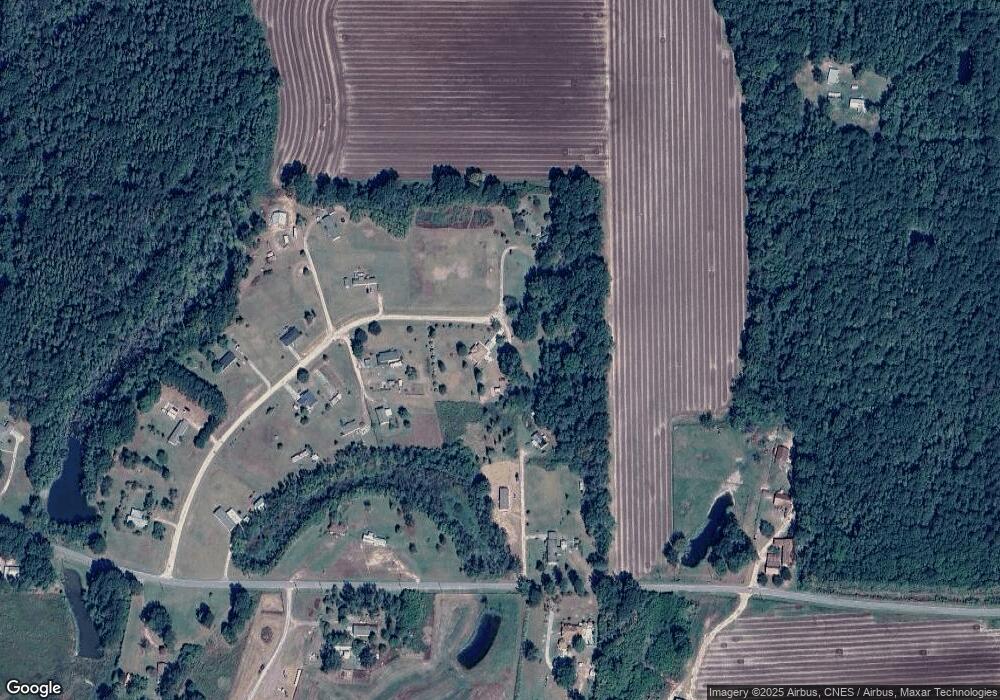
Map
Nearby Homes
- 219 Sheeplo Loop
- 4 Longbow Rd
- 60+/- AC Luther Carter Rd
- 42 Thagard Dr
- 2 Fullen Trail
- 9085 Old River Rd
- 01 Horseshoe Ln
- 0 Locklear Rd Unit 4112785
- 02 Horseshoe Ln
- 9083 Old River Rd
- 000 Bellamy Ln
- 226 Blue Lake Rd
- 88 Sunline Dr
- 91 Sunline Dr
- 152 Sunline Dr
- 21 Stonemore Rd
- 10 Karpen Dr
- 23 Berwick
- The Katherine Plan at Acadian Square
- The Mckenzie Plan at Acadian Square
- 16 Colt Dr
- 26 Remington Rd
- 9 Savage Ln
- 25 Remington Rd
- 000 Colt Dr
- 4 Colt Dr
- 18 Remington Rd
- 8 Mausser Ln
- 19 Remington Rd
- 598 Old Rifle Range Rd
- 561 Old Rifle Range Rd
- 15 Remington Rd
- 612 Old Rifle Range Rd
- 7 Remington Rd
- lot 24 Old Rifle Range Rd
- 5.5 Acres Old Rifle Range Rd
- 5.25 Old Rifle Range Rd
- 29 +/- Ac Old Rifle Range Rd
- 29+/-ACRES Old Rifle Range Rd
- 27 +/- Ac Old Rifle Range Rd