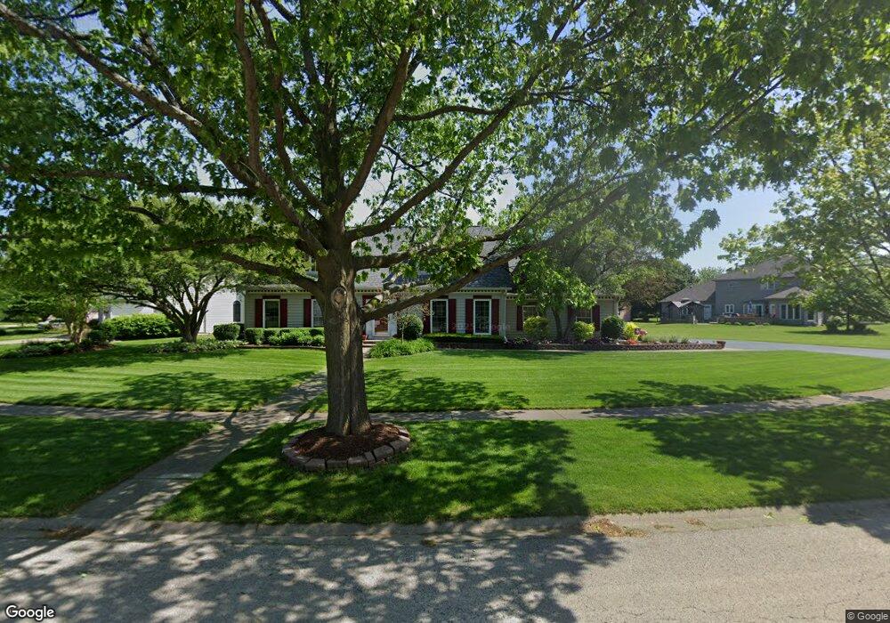
36 Robert Rd Oswego, IL 60543
South Oswego NeighborhoodEstimated Value: $459,169 - $572,000
Studio
1
Bath
2,916
Sq Ft
$175/Sq Ft
Est. Value
About This Home
This home is located at 36 Robert Rd, Oswego, IL 60543 and is currently estimated at $509,292, approximately $174 per square foot. 36 Robert Rd is a home located in Kendall County with nearby schools including Southbury Elementary School, Traughber Junior High School, and Oswego High School.
Ownership History
Date
Name
Owned For
Owner Type
Purchase Details
Closed on
Jan 8, 2024
Sold by
Rhoades James W
Bought by
Rhoades James W
Current Estimated Value
Purchase Details
Closed on
Sep 27, 2023
Sold by
Elin A Rezek Trust
Bought by
Gentle Remodeling Of Kendall County
Purchase Details
Closed on
Oct 5, 2017
Sold by
Rhoades Bonnie S and Rhoades Declaration O Bonnie S
Bought by
Rhoades James W and Rhoades Bonnie S
Purchase Details
Closed on
Sep 7, 1999
Sold by
Rhoades James W and Rhoades Bonnie S
Bought by
Rhoades Bonnie S
Purchase Details
Closed on
May 1, 1989
Create a Home Valuation Report for This Property
The Home Valuation Report is an in-depth analysis detailing your home's value as well as a comparison with similar homes in the area
Home Values in the Area
Average Home Value in this Area
Purchase History
| Date | Buyer | Sale Price | Title Company |
|---|---|---|---|
| Rhoades James W | -- | None Listed On Document | |
| Gentle Remodeling Of Kendall County | $360,000 | Chicago Title | |
| Rhoades James W | -- | Attorney | |
| Rhoades Bonnie S | -- | -- | |
| -- | $210,000 | -- |
Source: Public Records
Tax History
| Year | Tax Paid | Tax Assessment Tax Assessment Total Assessment is a certain percentage of the fair market value that is determined by local assessors to be the total taxable value of land and additions on the property. | Land | Improvement |
|---|---|---|---|---|
| 2024 | $10,426 | $140,558 | $26,823 | $113,735 |
| 2023 | $9,402 | $126,629 | $24,165 | $102,464 |
| 2022 | $9,402 | $115,117 | $21,968 | $93,149 |
| 2021 | $9,531 | $112,860 | $21,537 | $91,323 |
| 2020 | $9,625 | $112,860 | $21,537 | $91,323 |
| 2019 | $9,440 | $109,348 | $21,537 | $87,811 |
| 2018 | $9,497 | $106,890 | $21,053 | $85,837 |
| 2017 | $9,409 | $102,779 | $20,243 | $82,536 |
| 2016 | $4,494 | $97,421 | $19,188 | $78,233 |
| 2015 | $4,413 | $91,907 | $18,102 | $73,805 |
| 2014 | -- | $88,372 | $17,406 | $70,966 |
| 2013 | -- | $89,265 | $17,582 | $71,683 |
Source: Public Records
Map
Nearby Homes
- 734 Alberta Ave
- 740 Alberta Ave
- 739 Alberta Ave
- 401 Bower Ln
- 521 Litchfield Way
- 816 Colchester Dr
- 1451 Vintage Dr
- 226 Piper Glen Ave
- 1444 Vintage Dr
- 202 Piper Glen Ave
- 102 Piper Glen Ave
- 228 Piper Glen Ave
- 704 Pomfret Ct
- 215 Willington Way
- 420 Bower Ln
- 703 Pomfret Ct
- 3 Orchard Rd
- 123 Orchard Rd
- 2 Orchard Rd
- 1300 Orchard Rd
Your Personal Tour Guide
Ask me questions while you tour the home.