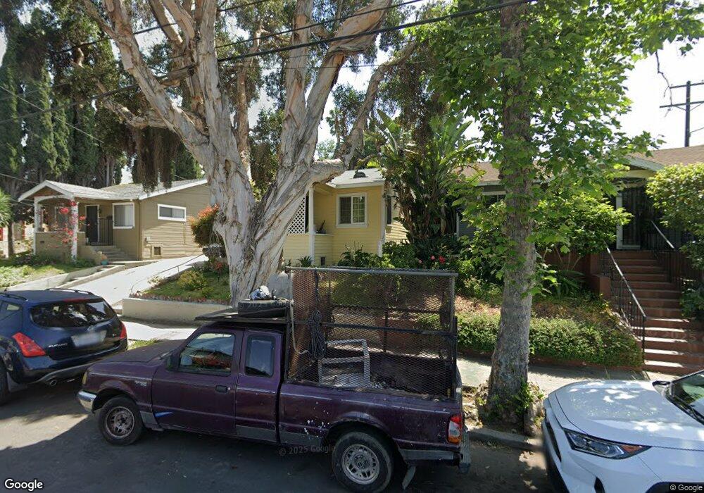
360 N Avenue 61 Los Angeles, CA 90042
Estimated Value: $936,000 - $1,300,000
2
Beds
1
Bath
858
Sq Ft
$1,248/Sq Ft
Est. Value
About This Home
This home is located at 360 N Avenue 61, Los Angeles, CA 90042 and is currently estimated at $1,071,151, approximately $1,248 per square foot. 360 N Avenue 61 is a home located in Los Angeles County with nearby schools including Richard Riordan Primary Center, Monte Vista Street Elementary School, and Benjamin Franklin High School.
Ownership History
Date
Name
Owned For
Owner Type
Purchase Details
Closed on
Jun 6, 2006
Sold by
Mendez Emilio R and Mendez Lourdes
Bought by
Mendez Emilio R and Mendez Lourdes
Current Estimated Value
Home Financials for this Owner
Home Financials are based on the most recent Mortgage that was taken out on this home.
Original Mortgage
$110,600
Interest Rate
6.55%
Mortgage Type
Fannie Mae Freddie Mac
Create a Home Valuation Report for This Property
The Home Valuation Report is an in-depth analysis detailing your home's value as well as a comparison with similar homes in the area
Home Values in the Area
Average Home Value in this Area
Purchase History
| Date | Buyer | Sale Price | Title Company |
|---|---|---|---|
| Mendez Emilio R | -- | Ticor Title Co Of California |
Source: Public Records
Mortgage History
| Date | Status | Borrower | Loan Amount |
|---|---|---|---|
| Closed | Mendez Emilio R | $110,600 |
Source: Public Records
Tax History Compared to Growth
Tax History
| Year | Tax Paid | Tax Assessment Tax Assessment Total Assessment is a certain percentage of the fair market value that is determined by local assessors to be the total taxable value of land and additions on the property. | Land | Improvement |
|---|---|---|---|---|
| 2025 | $4,303 | $358,312 | $264,060 | $94,252 |
| 2024 | $4,303 | $351,287 | $258,883 | $92,404 |
| 2023 | $4,220 | $344,400 | $253,807 | $90,593 |
| 2022 | $4,022 | $337,648 | $248,831 | $88,817 |
| 2021 | $3,969 | $331,028 | $243,952 | $87,076 |
| 2019 | $3,849 | $321,212 | $236,717 | $84,495 |
| 2018 | $3,799 | $314,915 | $232,076 | $82,839 |
| 2016 | $3,623 | $302,688 | $223,065 | $79,623 |
| 2015 | $3,570 | $298,142 | $219,715 | $78,427 |
| 2014 | $3,586 | $292,303 | $215,412 | $76,891 |
Source: Public Records
Map
Nearby Homes
- 422 N Avenue 61
- 5133 ,1/4,1/2 Baltimore St
- Residence 2 Plan at Arroyo Ridge
- Residence 1 Plan at Arroyo Ridge
- 300 S Avenue 58
- 300 La Follette Dr
- 6154 Mount Angelus Dr
- 263 Lamont Dr
- 329 N Avenue 57
- 1476 N Avenue 57
- 1480 N Avenue 57
- 6190 Mesa Ave
- 211 N Avenue 57
- 5711 Marmion Way
- 209 N Avenue 57
- 215 Branch St
- 6117 York Blvd
- 5807 Meridian St
- 5925 Hayes Ave
- 310 Branch St