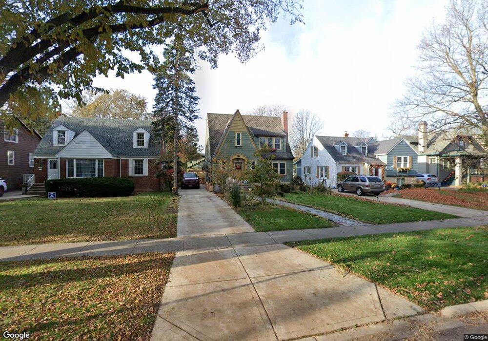
360 Nuttall Rd Riverside, IL 60546
Estimated Value: $478,000 - $557,000
3
Beds
2
Baths
1,489
Sq Ft
$337/Sq Ft
Est. Value
About This Home
This home is located at 360 Nuttall Rd, Riverside, IL 60546 and is currently estimated at $501,223, approximately $336 per square foot. 360 Nuttall Rd is a home located in Cook County with nearby schools including A F Ames Elementary School, L J Hauser Jr High School, and Riverside Brookfield High School.
Ownership History
Date
Name
Owned For
Owner Type
Purchase Details
Closed on
Feb 27, 1998
Sold by
Balassa Margaret R
Bought by
Janopoulos Mark T and Janopoulos Joan C
Current Estimated Value
Home Financials for this Owner
Home Financials are based on the most recent Mortgage that was taken out on this home.
Original Mortgage
$130,000
Interest Rate
7.08%
Purchase Details
Closed on
Nov 23, 1994
Sold by
Cosmopolitan Bank & Trust
Bought by
Balassa Margaret R
Create a Home Valuation Report for This Property
The Home Valuation Report is an in-depth analysis detailing your home's value as well as a comparison with similar homes in the area
Home Values in the Area
Average Home Value in this Area
Purchase History
| Date | Buyer | Sale Price | Title Company |
|---|---|---|---|
| Janopoulos Mark T | $227,000 | -- | |
| Balassa Margaret R | -- | -- |
Source: Public Records
Mortgage History
| Date | Status | Borrower | Loan Amount |
|---|---|---|---|
| Previous Owner | Janopoulos Mark T | $130,000 |
Source: Public Records
Tax History
| Year | Tax Paid | Tax Assessment Tax Assessment Total Assessment is a certain percentage of the fair market value that is determined by local assessors to be the total taxable value of land and additions on the property. | Land | Improvement |
|---|---|---|---|---|
| 2025 | $10,930 | $37,481 | $9,964 | $27,517 |
| 2024 | $10,930 | $37,481 | $9,964 | $27,517 |
| 2023 | $11,704 | $37,481 | $9,964 | $27,517 |
| 2022 | $11,704 | $33,978 | $8,719 | $25,259 |
| 2021 | $11,279 | $33,977 | $8,718 | $25,259 |
| 2020 | $10,991 | $33,977 | $8,718 | $25,259 |
| 2019 | $8,916 | $28,761 | $7,971 | $20,790 |
| 2018 | $8,652 | $28,761 | $7,971 | $20,790 |
| 2017 | $8,391 | $28,761 | $7,971 | $20,790 |
| 2016 | $8,180 | $25,724 | $6,974 | $18,750 |
| 2015 | $7,949 | $25,724 | $6,974 | $18,750 |
| 2014 | $7,831 | $25,724 | $6,974 | $18,750 |
| 2013 | $8,454 | $29,727 | $6,974 | $22,753 |
Source: Public Records
Map
Nearby Homes
- 315 Bartram Rd
- 101 Southcote Rd
- 367 Bartram Rd
- 410 Repton Rd
- 305 Desplaines Ave
- 231 Bartram Rd
- 2527 Keystone Ave
- 8117 W 30th St
- 2433 Keystone Ave
- 236 Maplewood Rd
- 220 Maplewood Rd
- 269 Shenstone Rd
- 2311 Park Ave
- 2245 Des Plaines Ave Unit A
- 2252 Northgate Ave
- 108 E Burlington St Unit B
- 2230 Keystone Ave
- 478 Kent Rd
- 2233 Des Plaines Ave
- 562 Byrd Rd
Your Personal Tour Guide
Ask me questions while you tour the home.