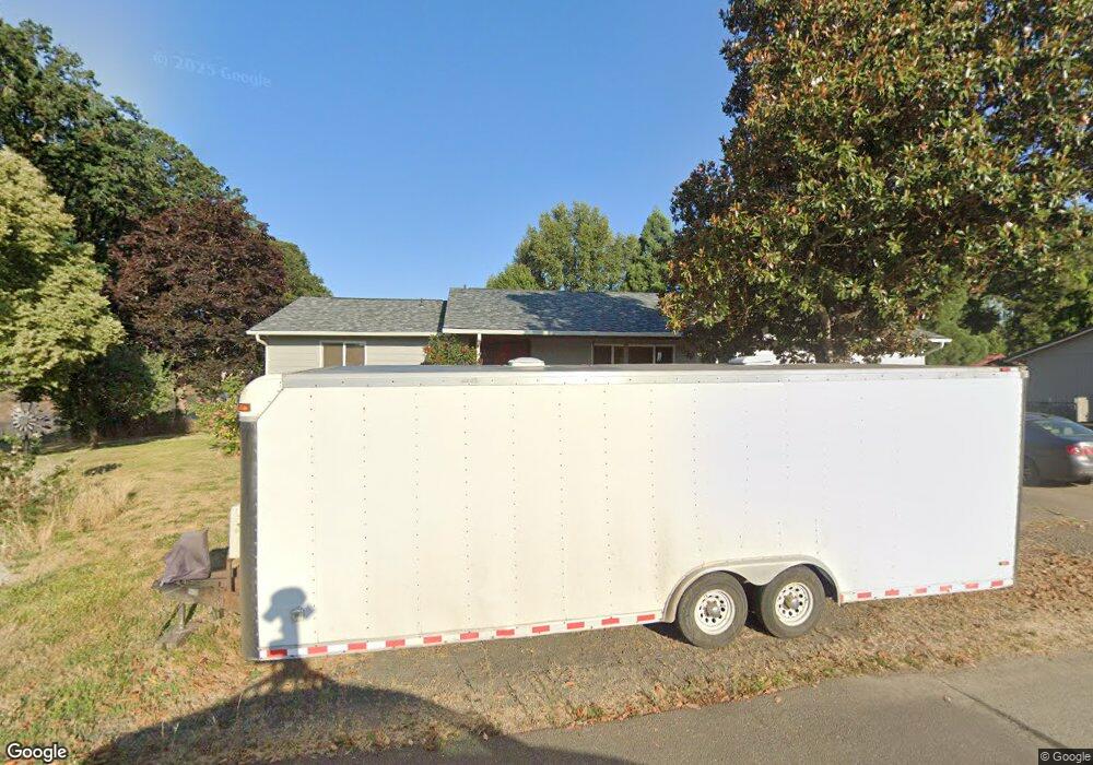
360 S Hemlock St Yamhill, OR 97148
Estimated Value: $429,000 - $531,000
3
Beds
1
Bath
2,332
Sq Ft
$205/Sq Ft
Est. Value
About This Home
This home is located at 360 S Hemlock St, Yamhill, OR 97148 and is currently estimated at $478,203, approximately $205 per square foot. 360 S Hemlock St is a home located in Yamhill County with nearby schools including Yamhill Carlton Elementary School, Yamhill Carlton Intermediate School, and Yamhill Carlton High School.
Create a Home Valuation Report for This Property
The Home Valuation Report is an in-depth analysis detailing your home's value as well as a comparison with similar homes in the area
Home Values in the Area
Average Home Value in this Area
Tax History Compared to Growth
Tax History
| Year | Tax Paid | Tax Assessment Tax Assessment Total Assessment is a certain percentage of the fair market value that is determined by local assessors to be the total taxable value of land and additions on the property. | Land | Improvement |
|---|---|---|---|---|
| 2025 | $3,064 | $205,135 | -- | -- |
| 2024 | $2,976 | $199,160 | -- | -- |
| 2023 | $2,895 | $193,359 | $0 | $0 |
| 2022 | $2,818 | $187,727 | $0 | $0 |
| 2021 | $2,748 | $182,259 | $0 | $0 |
| 2020 | $2,832 | $176,950 | $0 | $0 |
| 2019 | $2,746 | $171,796 | $0 | $0 |
| 2018 | $2,596 | $166,792 | $0 | $0 |
| 2017 | $2,533 | $161,934 | $0 | $0 |
| 2016 | $2,472 | $157,217 | $0 | $0 |
| 2015 | $2,186 | $152,639 | $0 | $0 |
| 2014 | $2,138 | $148,195 | $0 | $0 |
Source: Public Records
Map
Nearby Homes