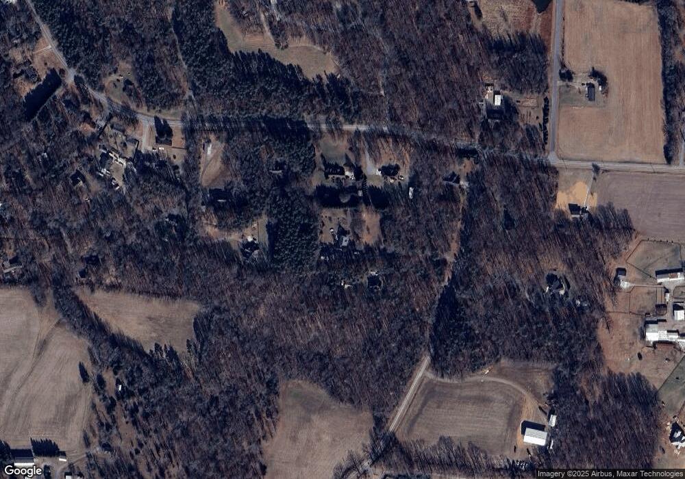
3607 Andrews Dairy Rd Greensboro, NC 27406
Estimated Value: $415,000 - $458,000
3
Beds
3
Baths
2,462
Sq Ft
$178/Sq Ft
Est. Value
About This Home
This home is located at 3607 Andrews Dairy Rd, Greensboro, NC 27406 and is currently estimated at $439,271, approximately $178 per square foot. 3607 Andrews Dairy Rd is a home located in Guilford County with nearby schools including Alamance Elementary School, Southeast Guilford Middle School, and Southeast Guilford High School.
Ownership History
Date
Name
Owned For
Owner Type
Purchase Details
Closed on
Jun 19, 2003
Sold by
Marley Jackie R and Marley Amy L
Bought by
King John L and King Michelle E
Current Estimated Value
Home Financials for this Owner
Home Financials are based on the most recent Mortgage that was taken out on this home.
Original Mortgage
$183,900
Interest Rate
6.13%
Mortgage Type
Purchase Money Mortgage
Purchase Details
Closed on
Jan 20, 2000
Sold by
Steven Wescott Mark and Ann Millisa
Bought by
Marley Jackie R and Marley Amy L
Home Financials for this Owner
Home Financials are based on the most recent Mortgage that was taken out on this home.
Original Mortgage
$38,380
Interest Rate
7.87%
Create a Home Valuation Report for This Property
The Home Valuation Report is an in-depth analysis detailing your home's value as well as a comparison with similar homes in the area
Home Values in the Area
Average Home Value in this Area
Purchase History
| Date | Buyer | Sale Price | Title Company |
|---|---|---|---|
| King John L | $230,000 | -- | |
| Marley Jackie R | $41,500 | -- |
Source: Public Records
Mortgage History
| Date | Status | Borrower | Loan Amount |
|---|---|---|---|
| Previous Owner | King John L | $183,900 | |
| Previous Owner | Marley Jackie R | $38,380 | |
| Closed | King John L | $34,485 |
Source: Public Records
Tax History Compared to Growth
Tax History
| Year | Tax Paid | Tax Assessment Tax Assessment Total Assessment is a certain percentage of the fair market value that is determined by local assessors to be the total taxable value of land and additions on the property. | Land | Improvement |
|---|---|---|---|---|
| 2025 | $2,509 | $283,200 | $63,800 | $219,400 |
| 2024 | $2,509 | $283,200 | $63,800 | $219,400 |
| 2023 | $2,509 | $283,200 | $63,800 | $219,400 |
| 2022 | $2,509 | $283,200 | $63,800 | $219,400 |
| 2021 | $2,133 | $240,800 | $39,900 | $200,900 |
| 2020 | $2,048 | $240,800 | $39,900 | $200,900 |
| 2019 | $1,957 | $230,700 | $0 | $0 |
| 2018 | $1,947 | $230,700 | $0 | $0 |
| 2017 | $1,906 | $230,700 | $0 | $0 |
| 2016 | $1,965 | $229,900 | $0 | $0 |
| 2015 | $1,977 | $229,900 | $0 | $0 |
| 2014 | $2,000 | $229,900 | $0 | $0 |
Source: Public Records
Map
Nearby Homes
- 5001 Robert Andrew Rd
- 5829 Thacker Dairy Rd
- 4300 Comanche Trail
- 2360, 2372 Alamance Church Rd
- 1905 Cardinal Crest Rd
- 4581 Worthing Chase Dr
- 3927 Fox Grove Trail
- 1729 Youngs Mill Rd
- 3806 SE School Rd
- 4502 Whitby Place
- Meadowlark Plan at McConnell Ridge
- Sparrow Plan at McConnell Ridge
- 4600 Mcconnell Rd
- 4111 Vershire Ave
- 4416 Mcconnell Rd
- 5530 Linch Rd
- 127 Chestnut Bend Dr
- 4555 Dillon Mill Dr
- 2403 Idol Mill Dr
- 3425 Pilot Mill Dr
- 3609 Andrews Dairy Rd
- 5402 Thacker Dairy Rd
- 5406 Thacker Dairy Rd
- 5400 Thacker Dairy Rd
- 3703 Evelyn Dr
- 5408 Thacker Dairy Rd
- 5304 Thacker Dairy Rd
- 3611 Andrews Dairy Rd
- 3701 Evelyn Dr
- 3615 Andrews Dairy Rd
- 5481 Thacker Dairy Rd
- 5300 Thacker Dairy Rd
- 5510 Thacker Dairy Rd
- 5401 Thacker Dairy Rd
- 5204 Thacker Dairy Rd
- 5101 Beaverdale Dr
- 3650 Andrews Dairy Rd
- 5002 Beaverdale Dr
- 5203 Thacker Dairy Rd
- 3241 Nancy Jean Rd
