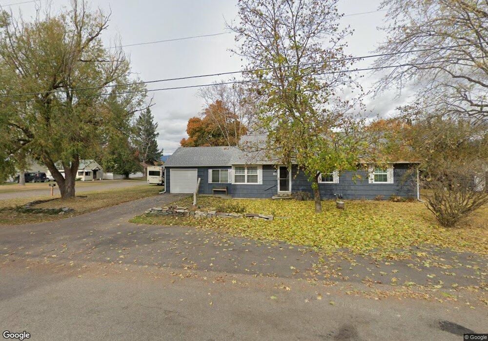
361 1st St E Columbia Falls, MT 59912
Estimated Value: $405,000 - $463,000
About This Home
This home is located at 361 1st St E, Columbia Falls, MT 59912 and is currently estimated at $428,524, approximately $315 per square foot. 361 1st St E is a home located in Flathead County with nearby schools including Glacier Gateway Elementary School, Columbia Falls Junior High School (7-8), and Columbia Falls High School.
Ownership History
We collect this data history from publicly available records. To have your information removed, we recommend requesting removal directly through your county’s website.
Purchase Details
Home Financials for this Owner
Home Financials are based on the most recent Mortgage that was taken out on this home.Purchase Details
Home Financials for this Owner
Home Financials are based on the most recent Mortgage that was taken out on this home.Home Values in the Area
Average Home Value in this Area
Purchase History
We collect this data history from publicly available records. To have your information removed, we recommend requesting removal directly through your county’s website.
| Date | Buyer | Sale Price | Title Company |
|---|---|---|---|
| -- | Alliance Title Co | ||
| -- | None Available |
Mortgage History
We collect this data history from publicly available records. To have your information removed, we recommend requesting removal directly through your county’s website.
| Date | Status | Borrower | Loan Amount |
|---|---|---|---|
| Open | $167,960 | ||
| Previous Owner | $72,500 |
Tax History
We collect this data history from publicly available records. To have your information removed, we recommend requesting removal directly through your county’s website.
| Year | Tax Paid | Tax Assessment Tax Assessment Total Assessment is a certain percentage of the fair market value that is determined by local assessors to be the total taxable value of land and additions on the property. | Land | Improvement |
|---|---|---|---|---|
| 2025 | $1,800 | $410,400 | $0 | $0 |
| 2024 | $2,327 | $330,500 | $0 | $0 |
| 2023 | $2,462 | $330,500 | $0 | $0 |
| 2022 | $2,598 | $244,800 | $0 | $0 |
| 2021 | $2,710 | $244,800 | $0 | $0 |
| 2020 | $2,579 | $216,890 | $0 | $0 |
| 2019 | $2,062 | $179,600 | $0 | $0 |
| 2018 | $1,897 | $157,300 | $0 | $0 |
| 2017 | $1,683 | $157,300 | $0 | $0 |
| 2016 | $1,557 | $128,600 | $0 | $0 |
| 2015 | $1,545 | $128,600 | $0 | $0 |
| 2014 | $1,513 | $75,471 | $0 | $0 |
Map
- 135 Nucleus Ave
- 1327 1st Ave E
- 104 2nd Ave W
- 540 Nucleus Ave Unit 304
- 1009 3rd Ave E
- 230 US Highway 2 E
- 943 Frontage Rd
- 809 9th St W Unit 1
- 809 9th St W Unit 17
- 290 Larch Ridge
- 23 Cedar Pointe Loop Unit A and B
- 23 Cedar Pointe Loop Unit A
- 23 Cedar Pointe Loop Unit B
- 1207 6th Ave W
- 1175 2nd St NW
- 7350 Highway 2 E
- Lots 30, 31, 32 Highway 2 E
- 1222 6th Ave W
- 929 9th St W
- 1629 4th Ave W Unit 103
- 162 4th Ave E
- 103 3rd Ave E
- 170 4th Ave E
- 360 A St
- 360 A St Unit EN
- 106 4th Ave E
- 279 1st Ave E
- 190 Tierhaven Ln
- 104 3rd Ave E
- 104 3rd Ave E Unit 1
- 119 3rd Ave E
- 112 4th Ave E
- 380 A Street East N Unit EN
- 116 3rd Ave E
- 190 3rd Ave W
- 427 1st Street East N
- 103 4th Ave E
- 124 4th Ave E
- 129 3rd Ave E
- 126 3rd Ave E
Ask me questions while you tour the home.