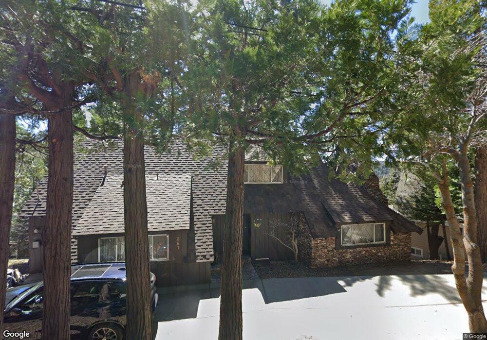
361 Summit Dr Lake Arrowhead, CA 92352
Estimated Value: $664,769 - $1,065,000
3
Beds
2
Baths
2,374
Sq Ft
$359/Sq Ft
Est. Value
About This Home
This home is located at 361 Summit Dr, Lake Arrowhead, CA 92352 and is currently estimated at $852,692, approximately $359 per square foot. 361 Summit Dr is a home with nearby schools including Lake Arrowhead Elementary School, Mary P. Henck Intermediate School, and Rim Of The World Senior High School.
Ownership History
Date
Name
Owned For
Owner Type
Purchase Details
Closed on
Jun 8, 2016
Sold by
Johnson Robert and Johnson Robert L
Bought by
Johnson Robert L and Amended & Restated Robert Johnson Revoca
Current Estimated Value
Purchase Details
Closed on
Apr 21, 2015
Sold by
Johnson Frances L
Bought by
Johnson Robert
Purchase Details
Closed on
May 7, 2008
Sold by
Johnson Frances L
Bought by
Johnson Frances L and The Lewis & Frances Johnson Trust
Create a Home Valuation Report for This Property
The Home Valuation Report is an in-depth analysis detailing your home's value as well as a comparison with similar homes in the area
Home Values in the Area
Average Home Value in this Area
Purchase History
| Date | Buyer | Sale Price | Title Company |
|---|---|---|---|
| Johnson Robert L | -- | None Available | |
| Johnson Robert | -- | Wfg National Title Company | |
| Johnson Frances L | -- | None Available |
Source: Public Records
Tax History
| Year | Tax Paid | Tax Assessment Tax Assessment Total Assessment is a certain percentage of the fair market value that is determined by local assessors to be the total taxable value of land and additions on the property. | Land | Improvement |
|---|---|---|---|---|
| 2025 | $2,571 | $201,309 | $105,728 | $95,581 |
| 2024 | $2,444 | $197,362 | $103,655 | $93,707 |
| 2023 | $2,419 | $193,493 | $101,623 | $91,870 |
| 2022 | $2,372 | $189,699 | $99,630 | $90,069 |
| 2021 | $2,345 | $185,979 | $97,676 | $88,303 |
| 2020 | $2,343 | $184,072 | $96,674 | $87,398 |
| 2019 | $2,288 | $180,462 | $94,778 | $85,684 |
| 2018 | $2,331 | $176,924 | $92,920 | $84,004 |
| 2017 | $2,294 | $173,455 | $91,098 | $82,357 |
| 2016 | $2,256 | $170,054 | $89,312 | $80,742 |
| 2015 | $2,386 | $167,499 | $87,970 | $79,529 |
| 2014 | $2,204 | $164,218 | $86,247 | $77,971 |
Source: Public Records
Map
Nearby Homes
- 329 Summit Rd
- 0 Terrace Rd Unit 32500984
- 0 Terrace Rd Unit IG25091707
- 305 Summit Rd
- 27828 Rainbow Dr
- 27844 Greenway Dr
- 27961 Rainbow Dr
- 551 Raccoon Ct
- 197 Rocky Point Rd
- 244 Corona Cir
- 226 Holiday Dr
- 27981 Lakes Edge Rd
- 252 Crest Circle Dr
- 27500 Highway 189 Unit 83
- 27500 Highway 189 Unit 36
- 27500 California 189
- 27500 California 189 Unit 81
- 0 Cottage Grove Rd Unit RW24137503
- 606 Crest Estates Dr
- 365 Mittry Ln
Your Personal Tour Guide
Ask me questions while you tour the home.