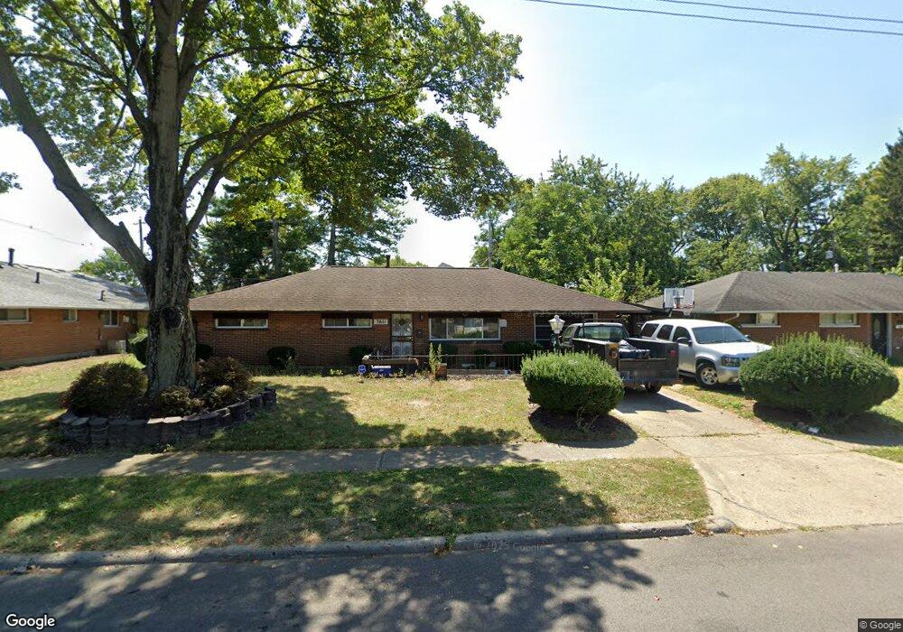
3611 Roswell Dr Columbus, OH 43227
Linwood NeighborhoodEstimated Value: $198,000 - $235,000
3
Beds
2
Baths
1,116
Sq Ft
$187/Sq Ft
Est. Value
About This Home
This home is located at 3611 Roswell Dr, Columbus, OH 43227 and is currently estimated at $208,896, approximately $187 per square foot. 3611 Roswell Dr is a home located in Franklin County with nearby schools including Scottwood Elementary School, Johnson Park Middle School, and Walnut Ridge High School.
Ownership History
Date
Name
Owned For
Owner Type
Purchase Details
Closed on
Oct 19, 2022
Sold by
Scott Daniel
Bought by
Scott Daniel S and Scott Candace E
Current Estimated Value
Purchase Details
Closed on
Jun 24, 2021
Sold by
Scott Daniel and Scott Linda
Bought by
Scott Daniel
Home Financials for this Owner
Home Financials are based on the most recent Mortgage that was taken out on this home.
Original Mortgage
$103,500
Interest Rate
2.8%
Mortgage Type
New Conventional
Purchase Details
Closed on
Jan 13, 1988
Bought by
Scott Daniel
Purchase Details
Closed on
Jan 1, 1986
Purchase Details
Closed on
May 1, 1985
Create a Home Valuation Report for This Property
The Home Valuation Report is an in-depth analysis detailing your home's value as well as a comparison with similar homes in the area
Home Values in the Area
Average Home Value in this Area
Purchase History
| Date | Buyer | Sale Price | Title Company |
|---|---|---|---|
| Scott Daniel S | $170,000 | Liberty Title | |
| Scott Daniel | -- | Timios Inc | |
| Scott Daniel | -- | -- | |
| -- | $47,000 | -- | |
| -- | -- | -- |
Source: Public Records
Mortgage History
| Date | Status | Borrower | Loan Amount |
|---|---|---|---|
| Previous Owner | Scott Daniel | $103,500 |
Source: Public Records
Tax History Compared to Growth
Tax History
| Year | Tax Paid | Tax Assessment Tax Assessment Total Assessment is a certain percentage of the fair market value that is determined by local assessors to be the total taxable value of land and additions on the property. | Land | Improvement |
|---|---|---|---|---|
| 2024 | $3,991 | $55,020 | $13,860 | $41,160 |
| 2023 | $2,640 | $55,020 | $13,860 | $41,160 |
| 2022 | $1,534 | $29,580 | $8,230 | $21,350 |
| 2021 | $1,537 | $29,580 | $8,230 | $21,350 |
| 2020 | $1,539 | $29,580 | $8,230 | $21,350 |
| 2019 | $1,467 | $24,190 | $6,860 | $17,330 |
| 2018 | $1,531 | $24,190 | $6,860 | $17,330 |
| 2017 | $1,613 | $24,190 | $6,860 | $17,330 |
| 2016 | $1,760 | $26,570 | $5,600 | $20,970 |
| 2015 | $1,598 | $26,570 | $5,600 | $20,970 |
| 2014 | $1,602 | $26,570 | $5,600 | $20,970 |
| 2013 | $878 | $29,540 | $6,230 | $23,310 |
Source: Public Records
Map
Nearby Homes
- 1836 Penfield Ct S
- 3566 Seabrook Ave
- 3861 Gilroy Rd
- 1721 Bostwick Rd
- 3325 E Deshler Ave
- 1656 Vilardo Ln
- 1664 Barnett Rd
- 1640 Striebel Rd
- 3246 E Deshler Ave
- 1294 Dellwood Ave
- 1624 Miltwood Rd
- 1635 Elaine Rd
- 1252 Carolwood Ave
- 1254 Elderwood Ave
- 1490 Elaine Rd Unit 1462
- 1220 Elderwood Ave
- 1271 S Weyant Ave
- 3563 Astor Ave
- 3598 Astor Ave
- 3945 Dillon Dr
- 1665 Courtright Rd
- 3603 Roswell Dr
- 3593 Roswell Dr
- 3606 Roswell Dr
- 3620 Roswell Dr
- 1681 Courtright Rd
- 1701 Courtright Rd
- 3585 Roswell Dr
- 1670 Courtright Rd
- 1637 Courtright Rd
- 1632 Cunard Rd
- 1633 Cunard Rd
- 3600 LIV Moor Dr
- 1631 Courtright Rd
- 3572 LIV Moor Dr
- 1646 Courtright Rd
- 3594 LIV Moor Dr
- 3608 LIV Moor Dr
- 1626 Cunard Rd
- 3575 Roswell Dr