36113 Boyd Dr Saint Peter, MN 56082
Estimated Value: $368,000 - $391,000
3
Beds
3
Baths
1,398
Sq Ft
$268/Sq Ft
Est. Value
About This Home
This home is located at 36113 Boyd Dr, Saint Peter, MN 56082 and is currently estimated at $374,985, approximately $268 per square foot. 36113 Boyd Dr is a home located in Nicollet County with nearby schools including South Elementary Early Learning Center, North Elementary School, and St. Peter Middle School.
Ownership History
Date
Name
Owned For
Owner Type
Purchase Details
Closed on
Nov 8, 2019
Sold by
Struckman Dustin and Struckman Hannah
Bought by
Nielsen Amy J and Nielsen Carl
Current Estimated Value
Home Financials for this Owner
Home Financials are based on the most recent Mortgage that was taken out on this home.
Original Mortgage
$258,875
Outstanding Balance
$227,970
Interest Rate
3.65%
Mortgage Type
New Conventional
Estimated Equity
$147,015
Purchase Details
Closed on
Jul 20, 2015
Sold by
Vandor Toom Rozella Joanne Rozella Joanne
Bought by
Struckman Dustin Dustin
Home Financials for this Owner
Home Financials are based on the most recent Mortgage that was taken out on this home.
Original Mortgage
$198,000
Interest Rate
4.09%
Create a Home Valuation Report for This Property
The Home Valuation Report is an in-depth analysis detailing your home's value as well as a comparison with similar homes in the area
Home Values in the Area
Average Home Value in this Area
Purchase History
| Date | Buyer | Sale Price | Title Company |
|---|---|---|---|
| Nielsen Amy J | $272,500 | North American Title | |
| Struckman Dustin Dustin | $220,000 | -- |
Source: Public Records
Mortgage History
| Date | Status | Borrower | Loan Amount |
|---|---|---|---|
| Open | Nielsen Amy J | $258,875 | |
| Previous Owner | Struckman Dustin Dustin | $198,000 |
Source: Public Records
Tax History
| Year | Tax Paid | Tax Assessment Tax Assessment Total Assessment is a certain percentage of the fair market value that is determined by local assessors to be the total taxable value of land and additions on the property. | Land | Improvement |
|---|---|---|---|---|
| 2025 | $3,620 | $348,400 | $56,800 | $291,600 |
| 2024 | $3,236 | $348,400 | $56,800 | $291,600 |
| 2023 | $2,700 | $332,500 | $56,800 | $275,700 |
| 2022 | $2,958 | $267,300 | $56,800 | $210,500 |
| 2021 | $2,842 | $254,000 | $56,800 | $197,200 |
| 2020 | $2,734 | $238,800 | $56,800 | $182,000 |
| 2019 | $2,596 | $241,800 | $56,800 | $185,000 |
| 2018 | $2,384 | $227,800 | $50,900 | $176,900 |
| 2017 | -- | $208,700 | $0 | $0 |
| 2016 | $1,948 | $0 | $0 | $0 |
| 2015 | -- | $0 | $0 | $0 |
Source: Public Records
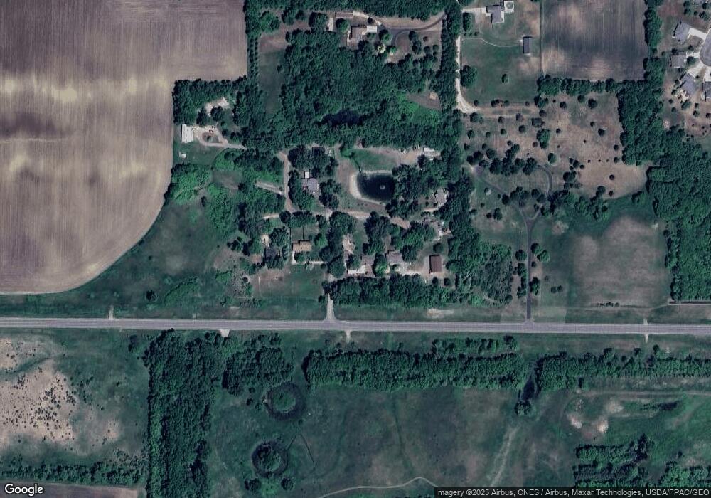
Map
Nearby Homes
- 0 Riverview Rd
- 701 Aspen Dr
- 2037 Pratt Cir
- 2056 Pratt Cir
- 809 S 5th St
- 0 Tbd West Traverse Rd
- 0 Tbd Cty 20 Fields Unit 7038067
- 803 Churchill Ct
- 2015 Essler Dr
- 2113 Lunden St
- 2012 Essler Dr
- 2105 Lunden St
- 2024 Essler Dr
- 458th Lane
- 720 W Madison St
- 121 N Webster St
- 101 Mill St N
- 310 N Minnesota Ave
- 440 Webster St S
- 1205 Lloyd Ln
- 36129 Boyd Dr
- 36129 Boyd Dr
- 36113 36113 Boyd Dr
- 43950 Meyer Ave
- 36159 Boyd Dr
- 36158 Boyd Dr
- 36180 Boyd Dr
- 36201 Boyd Dr
- 43768 43768 361st Ln
- 43868 43868 Cole-Lane-
- 43868 Cole Ln
- 43868 Cole Ln
- 43768 361st Ln
- 1514 Rockbend Pkwy
- 1512 Rockbend Pkwy
- 1135 W Menk Dr
- 1511 Rockbend Pkwy
- 1131 W Menk Dr
- 1131 W Menk Dr
- 1135 W Menk Dr
Your Personal Tour Guide
Ask me questions while you tour the home.