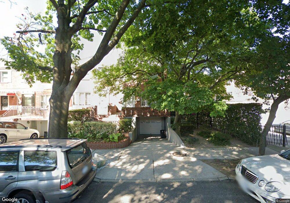
3612 191st St Flushing, NY 11358
Auburndale NeighborhoodEstimated Value: $849,479 - $1,020,000
Studio
--
Bath
1,332
Sq Ft
$725/Sq Ft
Est. Value
About This Home
This home is located at 3612 191st St, Flushing, NY 11358 and is currently estimated at $965,620, approximately $724 per square foot. 3612 191st St is a home located in Queens County with nearby schools including P.S. 32 - State Street, I.S. 25 Adrien Block, and Francis Lewis High School.
Ownership History
Date
Name
Owned For
Owner Type
Purchase Details
Closed on
Oct 8, 1999
Sold by
Gianelli Vincent J
Bought by
Rezik Viorica
Current Estimated Value
Home Financials for this Owner
Home Financials are based on the most recent Mortgage that was taken out on this home.
Original Mortgage
$189,000
Interest Rate
7.76%
Purchase Details
Closed on
Sep 3, 1998
Sold by
Sternberg Roy M and Sternberg Rosalind
Bought by
Gianelli Vincent J
Create a Home Valuation Report for This Property
The Home Valuation Report is an in-depth analysis detailing your home's value as well as a comparison with similar homes in the area
Home Values in the Area
Average Home Value in this Area
Purchase History
| Date | Buyer | Sale Price | Title Company |
|---|---|---|---|
| Rezik Viorica | $210,000 | Fidelity National Title Ins | |
| Gianelli Vincent J | $101,000 | Commonwealth Land Title Ins |
Source: Public Records
Mortgage History
| Date | Status | Borrower | Loan Amount |
|---|---|---|---|
| Previous Owner | Rezik Viorica | $189,000 |
Source: Public Records
Tax History
| Year | Tax Paid | Tax Assessment Tax Assessment Total Assessment is a certain percentage of the fair market value that is determined by local assessors to be the total taxable value of land and additions on the property. | Land | Improvement |
|---|---|---|---|---|
| 2025 | $7,715 | $42,200 | $14,389 | $27,811 |
| 2024 | $7,727 | $39,812 | $13,387 | $26,425 |
| 2023 | $7,715 | $39,812 | $12,479 | $27,333 |
| 2022 | $3,632 | $53,880 | $16,080 | $37,800 |
| 2021 | $7,549 | $57,600 | $16,080 | $41,520 |
| 2020 | $7,142 | $49,860 | $16,080 | $33,780 |
| 2019 | $6,647 | $49,500 | $16,080 | $33,420 |
| 2018 | $6,465 | $33,177 | $11,045 | $22,132 |
| 2017 | $6,125 | $31,518 | $10,970 | $20,548 |
| 2016 | $5,900 | $31,518 | $10,970 | $20,548 |
| 2015 | $3,366 | $29,306 | $13,341 | $15,965 |
| 2014 | $3,366 | $27,648 | $12,824 | $14,824 |
Source: Public Records
Map
Nearby Homes
- 36-20 190th St
- 190-05 39th Ave Unit 140
- 190-05 39th Ave Unit 142
- 191-9 39th Ave Unit 164
- 189-23 39th Ave Unit 122
- 191-02 39th Ave
- 191-08 Station Rd
- 19112 Station Rd
- 192-14 Station Rd
- 36-20 194th St Unit 3r
- 3617 194th St
- 36-07 171st St Unit 35
- 190-17 42nd Ave
- 36-35 171st St Unit 30
- 3639 171st St Unit 26
- 194-23 Station Rd
- 4038 194th St Unit 3B
- 40-38 194th St Unit A-1
- 34-12 192nd St
- 4048 194th St Unit A3
- 3614 191st St
- 3616 191st St
- 36-18 191st St
- 3618 191st St
- 19020 Crocheron Ave
- 19018 Crocheron Ave
- 19016 Crocheron Ave
- 19022 Crocheron Ave
- 190-18 Crocheron Ave Unit 1F
- 3620 191st St
- 19012 Crocheron Ave
- 19012 Crocheron Ave
- 3622 191st St
- 3611 190th St
- 19010 Crocheron Ave
- 190-10 Crocheron Ave Unit 2Floor
- 190-10 Crocheron Ave
- 3615 190th St
- 3624 191st St
- 3617 190th St
Your Personal Tour Guide
Ask me questions while you tour the home.