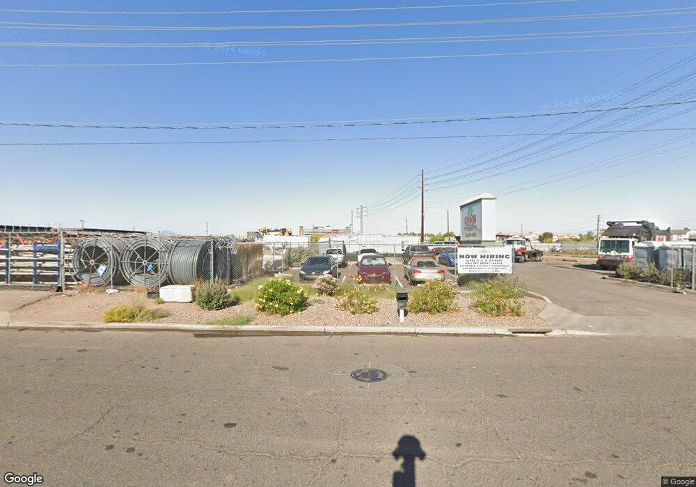
3612 S 36th St Phoenix, AZ 85040
South Mountain NeighborhoodEstimated Value: $669,244
Studio
1
Bath
2
Sq Ft
$334,622/Sq Ft
Est. Value
About This Home
This home is located at 3612 S 36th St, Phoenix, AZ 85040 and is currently estimated at $669,244, approximately $334,622 per square foot. 3612 S 36th St is a home located in Maricopa County with nearby schools including Percy L Julian School, South Mountain High School, and Phoenix Coding Academy.
Ownership History
Date
Name
Owned For
Owner Type
Purchase Details
Closed on
Aug 20, 2020
Sold by
Row Management Llc
Bought by
Blackburn Mark Steven and Blackburn Anne Marie
Current Estimated Value
Purchase Details
Closed on
Jul 15, 2013
Sold by
Row Robert C
Bought by
Row Management Llc and The Row Family Trust
Purchase Details
Closed on
Feb 3, 1997
Sold by
Hofmann Paul and Hofmann Carin
Bought by
Mushikoff Peter and Mushikoff Erica
Purchase Details
Closed on
May 11, 1994
Sold by
Mccullough Claudia
Bought by
Hofmann Paul and Hofmann Carin
Create a Home Valuation Report for This Property
The Home Valuation Report is an in-depth analysis detailing your home's value as well as a comparison with similar homes in the area
Home Values in the Area
Average Home Value in this Area
Purchase History
| Date | Buyer | Sale Price | Title Company |
|---|---|---|---|
| Blackburn Mark Steven | $450,000 | Security Title Agency Inc | |
| Row Management Llc | -- | None Available | |
| Mushikoff Peter | -- | Ati Title Agency | |
| Hofmann Paul | -- | Chicago Title Insurance Co |
Source: Public Records
Tax History Compared to Growth
Tax History
| Year | Tax Paid | Tax Assessment Tax Assessment Total Assessment is a certain percentage of the fair market value that is determined by local assessors to be the total taxable value of land and additions on the property. | Land | Improvement |
|---|---|---|---|---|
| 2025 | $9,030 | $59,890 | -- | -- |
| 2024 | $8,924 | $58,278 | -- | -- |
| 2023 | $8,924 | $83,067 | $54,320 | $28,747 |
| 2022 | $8,781 | $61,273 | $52,033 | $9,240 |
| 2021 | $9,124 | $62,283 | $52,833 | $9,450 |
| 2020 | $9,011 | $53,841 | $44,319 | $9,522 |
| 2019 | $8,720 | $56,550 | $47,388 | $9,162 |
| 2018 | $8,536 | $49,614 | $40,524 | $9,090 |
| 2017 | $8,087 | $44,433 | $37,521 | $6,912 |
| 2016 | $7,692 | $41,267 | $34,733 | $6,534 |
| 2015 | $7,997 | $43,709 | $37,881 | $5,828 |
Source: Public Records
Map
Nearby Homes
- 1627 E Wood St
- 2825 E Pueblo Ave
- 3802 S 28th St
- 2804 E Broadway Rd
- 4015 S 44th St
- 4412 E Riverside St
- 2704 E Southgate Ave
- 2957 E Atlanta Ave
- 4424 E Pueblo Ave
- 2930 E Atlanta Ave
- 2553 E Pueblo Ave
- 4510 E Wood St
- 3536 E Wayland Dr
- 2511 E Broadway Rd
- 2501 E Jones Ave
- 5924 S Daisy Patch Place
- 4602 E Broadway Rd Unit 63
- 5904 S 35th Place
- 4010 S 24th Place
- 3504 E Southern Ave
- 3640 S 36th St
- 3532 E Elwood St
- 3617 E Anne St
- 3447 S 36th St
- 3625 E Anne St
- 3428 E Elwood St
- 3812 S 34th St
- 3421 E Elwood St
- 3402 E Illini St
- 3719 E Anne St
- 7817 E Kerby Ave
- 7825 E Kerby Ave
- 3711 E Miami Ave Unit 3
- 3711 E Miami Ave
- 3434 E Wood St
- 3200 E University Dr
- 3802 E Illini St Unit 13
- 3220 S 38th St
- 4230 S 36th Place Unit 5
- 4230 S 36th Place Unit 4
