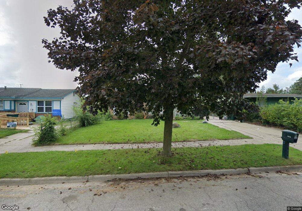
3613 Coachlight Common St Lansing, MI 48911
Southern Lansing NeighborhoodEstimated Value: $113,463 - $160,000
Studio
1
Bath
1,036
Sq Ft
$133/Sq Ft
Est. Value
About This Home
This home is located at 3613 Coachlight Common St, Lansing, MI 48911 and is currently estimated at $137,616, approximately $132 per square foot. 3613 Coachlight Common St is a home located in Ingham County with nearby schools including Reo Elementary School, Attwood School, and Everett High School.
Ownership History
Date
Name
Owned For
Owner Type
Purchase Details
Closed on
May 21, 2012
Sold by
Odunuga Abraham A and Odunuga Mary E
Bought by
Odunuga Abraham A and Odunuga Mary E
Current Estimated Value
Purchase Details
Closed on
Nov 7, 2005
Sold by
Deutsche Bank National Trust Co
Bought by
Odunuga Abraham
Home Financials for this Owner
Home Financials are based on the most recent Mortgage that was taken out on this home.
Original Mortgage
$61,200
Interest Rate
6.2%
Mortgage Type
Fannie Mae Freddie Mac
Purchase Details
Closed on
Feb 3, 2005
Sold by
Norris Dale L and Norris Eleanor L
Bought by
Deutsche Bank National Trust Co and Gs Mortgage Securities Corp Gsamp Trust
Create a Home Valuation Report for This Property
The Home Valuation Report is an in-depth analysis detailing your home's value as well as a comparison with similar homes in the area
Home Values in the Area
Average Home Value in this Area
Purchase History
| Date | Buyer | Sale Price | Title Company |
|---|---|---|---|
| Odunuga Abraham A | -- | None Available | |
| Odunuga Abraham | $68,000 | Fatic | |
| Deutsche Bank National Trust Co | $77,850 | -- |
Source: Public Records
Mortgage History
| Date | Status | Borrower | Loan Amount |
|---|---|---|---|
| Closed | Odunuga Abraham | $61,200 |
Source: Public Records
Tax History
| Year | Tax Paid | Tax Assessment Tax Assessment Total Assessment is a certain percentage of the fair market value that is determined by local assessors to be the total taxable value of land and additions on the property. | Land | Improvement |
|---|---|---|---|---|
| 2025 | $2,487 | $60,000 | $8,600 | $51,400 |
| 2024 | $20 | $47,400 | $8,600 | $38,800 |
| 2023 | $2,341 | $40,300 | $8,600 | $31,700 |
| 2022 | $2,139 | $35,200 | $6,100 | $29,100 |
| 2021 | $2,090 | $31,400 | $5,000 | $26,400 |
| 2020 | $3,050 | $28,600 | $5,000 | $23,600 |
| 2019 | $2,003 | $27,500 | $5,000 | $22,500 |
| 2018 | $1,901 | $24,700 | $5,000 | $19,700 |
| 2017 | $1,829 | $24,700 | $5,000 | $19,700 |
| 2016 | $1,756 | $24,300 | $5,000 | $19,300 |
| 2015 | $1,756 | $23,500 | $9,946 | $13,554 |
| 2014 | $1,756 | $23,100 | $15,212 | $7,888 |
Source: Public Records
Map
Nearby Homes
- 3220 W Miller Rd
- 5424 S Waverly Rd
- 5129 Wexford Rd
- 2800 S Waverly Rd
- 2700 Eaton Rapids Road #193 Rd
- 3428 W Jolly Rd
- 3214 Raynell St
- 2807 W Jolly Rd
- 2616 Michigan 99
- 2918 Midwood St
- 2706 W Jolly Rd
- 2416 Midwood St
- 5650 Hughes Rd
- 4400 Chadburne Dr
- 4416 Ballard Rd
- 5723 Taffy Pkwy
- 6037 Hughes Rd
- 4927 Starr Ave
- 0 Midwood St
- 5902 Haag Rd
- 3609 Coachlight Common St
- 3609 Coachlight
- 3625 Coachlight Common St
- 3601 Coachlight Common St
- 3601 Coachlight
- 3631 Coachlight Common St
- 3614 Coachlight Common St
- 3618 Coachlight Common St
- 3618 Coachlight
- 3608 Coachlight Common St
- 3624 Coachlight Common St
- 3600 Coachlight Common St
- 3637 Coachlight Common St
- 3637 Coachlight
- 3630 Coachlight Common St
- 3563 Coachlight Common St
- 3563 Coachlight
- 5936 Monticello Dr
- 3636 Coachlight Common St
Your Personal Tour Guide
Ask me questions while you tour the home.