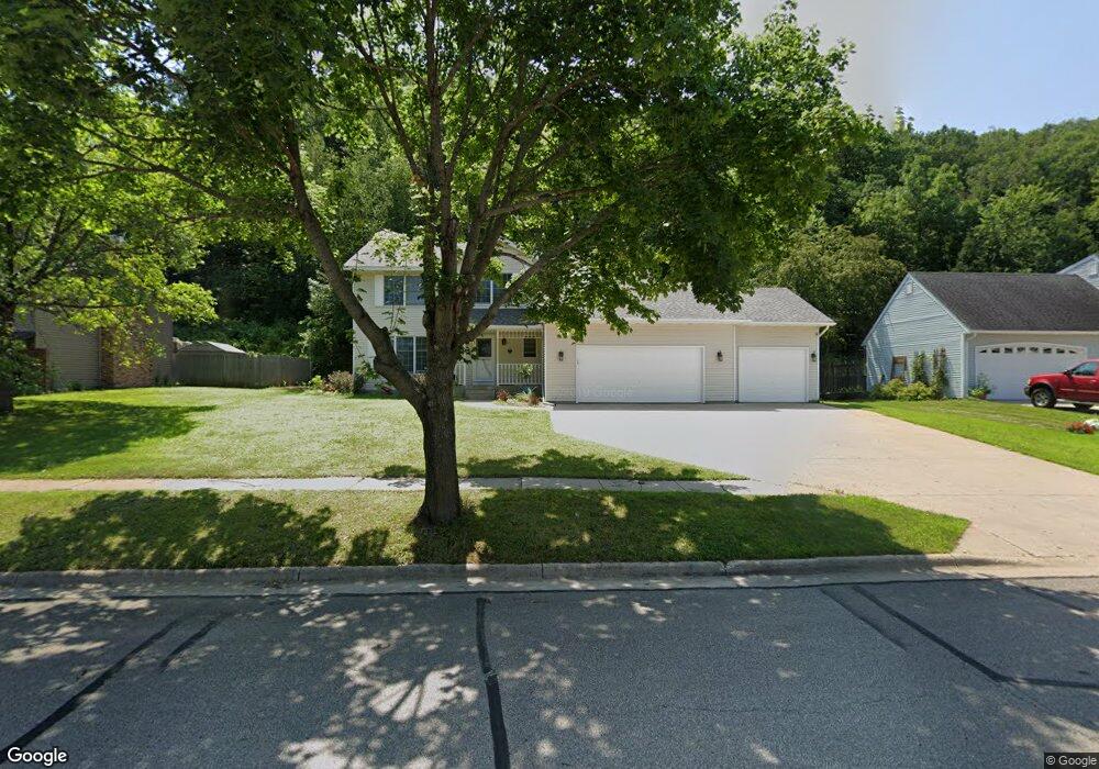
3615 Kosec Dr Red Wing, MN 55066
Estimated Value: $410,000 - $443,000
4
Beds
3
Baths
2,222
Sq Ft
$192/Sq Ft
Est. Value
About This Home
This home is located at 3615 Kosec Dr, Red Wing, MN 55066 and is currently estimated at $426,737, approximately $192 per square foot. 3615 Kosec Dr is a home located in Goodhue County with nearby schools including Burnside Elementary School, Sunnyside Elementary School, and Twin Bluff Middle School.
Ownership History
Date
Name
Owned For
Owner Type
Purchase Details
Closed on
Dec 27, 2016
Sold by
Marti Steven P and Diorio Leah
Bought by
Scott Fred C and Scott Naomi N
Current Estimated Value
Purchase Details
Closed on
Dec 23, 2006
Sold by
Tcf National Bank
Bought by
Marti Steven P
Purchase Details
Closed on
May 14, 2004
Sold by
Unavailable
Bought by
Rothstein Tammy Lynn
Create a Home Valuation Report for This Property
The Home Valuation Report is an in-depth analysis detailing your home's value as well as a comparison with similar homes in the area
Home Values in the Area
Average Home Value in this Area
Purchase History
| Date | Buyer | Sale Price | Title Company |
|---|---|---|---|
| Scott Fred C | $232,000 | Goodhue County Abstract | |
| Marti Steven P | $227,000 | -- | |
| Rothstein Tammy Lynn | $246,000 | -- |
Source: Public Records
Tax History Compared to Growth
Tax History
| Year | Tax Paid | Tax Assessment Tax Assessment Total Assessment is a certain percentage of the fair market value that is determined by local assessors to be the total taxable value of land and additions on the property. | Land | Improvement |
|---|---|---|---|---|
| 2025 | $5,338 | $410,300 | $59,700 | $350,600 |
| 2024 | $5,338 | $402,900 | $59,700 | $343,200 |
| 2023 | $2,623 | $377,700 | $59,700 | $318,000 |
| 2022 | $4,556 | $368,700 | $53,200 | $315,500 |
| 2021 | $4,224 | $312,300 | $53,200 | $259,100 |
| 2020 | $4,170 | $295,100 | $53,200 | $241,900 |
| 2019 | $4,152 | $273,700 | $53,200 | $220,500 |
| 2018 | $3,336 | $275,600 | $51,200 | $224,400 |
| 2017 | $3,258 | $239,800 | $51,200 | $188,600 |
| 2016 | $3,392 | $237,300 | $51,200 | $186,100 |
| 2015 | $2,858 | $228,900 | $51,200 | $177,700 |
| 2014 | -- | $219,100 | $51,200 | $167,900 |
Source: Public Records
Map
Nearby Homes
- 3560 Graves Dr
- 3463 Briarview Ct
- 946 Briarwood Dr
- 168 Johnson Ave
- 237 Motel Ave
- 113 Burnside Ave S
- 240 Motel Ave
- 132 Motel Ave
- 232 Fern Ave
- 998 Hewitt Blvd
- 1125 Hewitt Blvd
- 4336 Lookout Ln
- 2773 Ridgeview Dr
- 1180 Hewitt Blvd
- 1181 Hewitt Blvd
- 936 Aurora Cir
- 980 Aurora Cir
- 912 Aurora Cir
- 853 Aurora Cir
- 135 Kingswood Dr