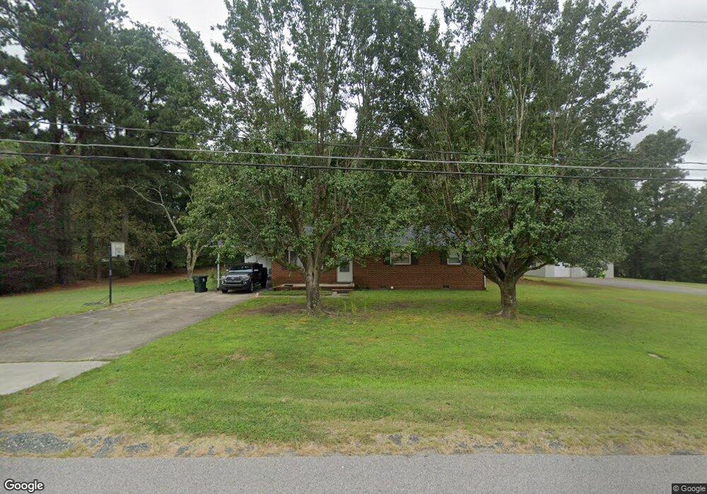
3616 Gibson Rd Durham, NC 27703
Eastern Durham NeighborhoodEstimated Value: $293,732 - $324,000
3
Beds
2
Baths
1,250
Sq Ft
$247/Sq Ft
Est. Value
About This Home
This home is located at 3616 Gibson Rd, Durham, NC 27703 and is currently estimated at $308,183, approximately $246 per square foot. 3616 Gibson Rd is a home located in Durham County with nearby schools including Bethesda Elementary School, John W Neal Middle School, and Southern School of Energy & Sustainability.
Ownership History
Date
Name
Owned For
Owner Type
Purchase Details
Closed on
Aug 19, 2005
Sold by
Hunt William L
Bought by
Balcarcel Leonel Adelso and Nunez Ingrid L
Current Estimated Value
Home Financials for this Owner
Home Financials are based on the most recent Mortgage that was taken out on this home.
Original Mortgage
$79,200
Outstanding Balance
$48,250
Interest Rate
8.25%
Mortgage Type
Fannie Mae Freddie Mac
Estimated Equity
$259,933
Create a Home Valuation Report for This Property
The Home Valuation Report is an in-depth analysis detailing your home's value as well as a comparison with similar homes in the area
Home Values in the Area
Average Home Value in this Area
Purchase History
| Date | Buyer | Sale Price | Title Company |
|---|---|---|---|
| Balcarcel Leonel Adelso | $99,000 | -- |
Source: Public Records
Mortgage History
| Date | Status | Borrower | Loan Amount |
|---|---|---|---|
| Open | Balcarcel Leonel Adelso | $79,200 | |
| Closed | Balcarcel Leonel Adelso | $19,800 |
Source: Public Records
Tax History Compared to Growth
Tax History
| Year | Tax Paid | Tax Assessment Tax Assessment Total Assessment is a certain percentage of the fair market value that is determined by local assessors to be the total taxable value of land and additions on the property. | Land | Improvement |
|---|---|---|---|---|
| 2025 | $1,933 | $267,451 | $109,900 | $157,551 |
| 2024 | $1,535 | $142,711 | $39,150 | $103,561 |
| 2023 | $1,482 | $142,711 | $39,150 | $103,561 |
| 2022 | $1,441 | $142,711 | $39,150 | $103,561 |
| 2021 | $1,252 | $142,711 | $39,150 | $103,561 |
| 2020 | $1,223 | $142,711 | $39,150 | $103,561 |
| 2019 | $1,209 | $142,711 | $39,150 | $103,561 |
| 2018 | $1,045 | $113,198 | $31,320 | $81,878 |
| 2017 | $1,011 | $113,198 | $31,320 | $81,878 |
| 2016 | $980 | $113,198 | $31,320 | $81,878 |
| 2015 | $1,109 | $105,122 | $29,578 | $75,544 |
| 2014 | $1,115 | $105,122 | $29,578 | $75,544 |
Source: Public Records
Map
Nearby Homes
- 3503 Grimes Ave
- 506 Currin St
- 3533 Gibson Rd
- 210 Stoney Creek Cir
- 3330 Nantuckett Ave
- 1015 Sora Way
- 806 Kendall Dr
- 102 Harvest Oaks Ln Unit 38
- 537 Crossview Ln
- 2072 Tanners Mill Dr
- 1525 S Mineral Springs Rd
- 128 Leacroft Way
- 2036 October Dr
- 1006 Spacious Skies Ln
- 650 Ganyard Farm Way Unit 5
- 1218 Kendall Dr
- 503 Bellmeade Bay Dr
- 1030 Thoughtful Spot Ln
- 111 Glenview Ln
- 1107 High Fox Dr
- 3622 Gibson Rd
- 3610 Gibson Rd
- 3611 Gibson Rd
- 3609 Gibson Rd
- 622 S Mineral Springs Rd
- 3608 Gibson Rd
- 710 S Mineral Springs Rd
- 3615 Grimes Ave
- 712 S Mineral Springs Rd
- 3607 Gibson Rd
- 706 S Mineral Springs Rd
- 3611 Grimes Ave
- 714 S Mineral Springs Rd
- 3605 Gibson Rd
- 620 S Mineral Springs Rd
- 3602 Gibson Rd
- LOT 7 Grimes Ave
- 3603 Gibson Rd
- 718 S Mineral Springs Rd
- 707 S Mineral Springs Rd