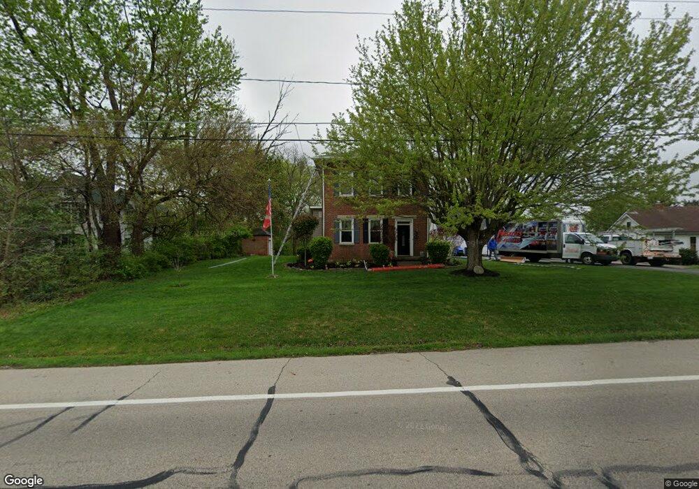
3623 W National Rd Springfield, OH 45504
Cedar Hills/Broadview NeighborhoodEstimated Value: $241,000 - $301,144
3
Beds
2
Baths
1,906
Sq Ft
$145/Sq Ft
Est. Value
About This Home
This home is located at 3623 W National Rd, Springfield, OH 45504 and is currently estimated at $275,536, approximately $144 per square foot. 3623 W National Rd is a home located in Clark County with nearby schools including Shawnee Middle School/High School, Clark Preparatory Academy, and Springfield Christian School.
Ownership History
Date
Name
Owned For
Owner Type
Purchase Details
Closed on
Sep 19, 2014
Sold by
Fletcher Robert J and Jordan Fletcher Trisha A
Bought by
Mcgee Ty A and Mcgee Stephanie A
Current Estimated Value
Home Financials for this Owner
Home Financials are based on the most recent Mortgage that was taken out on this home.
Original Mortgage
$169,500
Outstanding Balance
$129,427
Interest Rate
4.07%
Mortgage Type
VA
Estimated Equity
$146,109
Purchase Details
Closed on
May 28, 2004
Sold by
Tingley Lloyd M and Tingley Helen E
Bought by
Fletcher Robert J and Fletcher Trish A
Home Financials for this Owner
Home Financials are based on the most recent Mortgage that was taken out on this home.
Original Mortgage
$76,000
Interest Rate
5.99%
Mortgage Type
Purchase Money Mortgage
Create a Home Valuation Report for This Property
The Home Valuation Report is an in-depth analysis detailing your home's value as well as a comparison with similar homes in the area
Home Values in the Area
Average Home Value in this Area
Purchase History
| Date | Buyer | Sale Price | Title Company |
|---|---|---|---|
| Mcgee Ty A | $169,500 | Ace Title Llc | |
| Fletcher Robert J | $95,000 | -- |
Source: Public Records
Mortgage History
| Date | Status | Borrower | Loan Amount |
|---|---|---|---|
| Open | Mcgee Ty A | $169,500 | |
| Previous Owner | Fletcher Robert J | $76,000 | |
| Closed | Fletcher Robert J | $19,000 |
Source: Public Records
Tax History Compared to Growth
Tax History
| Year | Tax Paid | Tax Assessment Tax Assessment Total Assessment is a certain percentage of the fair market value that is determined by local assessors to be the total taxable value of land and additions on the property. | Land | Improvement |
|---|---|---|---|---|
| 2024 | $2,994 | $61,300 | $9,790 | $51,510 |
| 2023 | $2,994 | $61,300 | $9,790 | $51,510 |
| 2022 | $2,970 | $61,300 | $9,790 | $51,510 |
| 2021 | $2,587 | $47,810 | $7,590 | $40,220 |
| 2020 | $2,608 | $47,810 | $7,590 | $40,220 |
| 2019 | $2,649 | $47,810 | $7,590 | $40,220 |
| 2018 | $2,283 | $40,650 | $6,900 | $33,750 |
| 2017 | $2,340 | $40,653 | $6,899 | $33,754 |
| 2016 | $2,111 | $40,653 | $6,899 | $33,754 |
| 2015 | $2,118 | $39,421 | $6,899 | $32,522 |
| 2014 | $2,124 | $39,421 | $6,899 | $32,522 |
| 2013 | $1,845 | $39,421 | $6,899 | $32,522 |
Source: Public Records
Map
Nearby Homes
- 3721 W National Rd
- 124 Old Mill Rd
- 224 E Downey Dr
- 323 Saint Paul Ave
- 3587 Lower Valley Pike
- 570 Aberfelda Dr
- 201 Beech Dr
- 190 Oakridge Dr
- 709 Shrine Rd
- 4461 New Carlisle Pike
- 0 Upper Valley Pike
- 2805 Cottonwood Dr
- 361 Upper Valley Pike
- 3939 Shrine Rd
- 3161 Dayton Springfield Rd
- 3161 Dayton Rd
- 1290 Red Oaks Cir
- 245 Gordon Rd
- 3591 W National Rd
- 3600 W National Rd
- 3561 W National Rd
- 3665 W National Rd
- 3658 W National Rd
- 3618 New Carlisle Pike
- 3630 New Carlisle Pike
- 3645 W National Rd Unit 3651
- 3651 W National Rd
- 3545 W National Rd
- 3689 W National Rd
- 3531 W National Rd
- 3661 New Carlisle Pike
- 3644 New Carlisle Pike
- 3560 W National Rd
- 3700 W National Rd
- 3686 W National Rd
- 3686 W National Rd
- 3712 W National Rd
- 25 Old Mill Rd