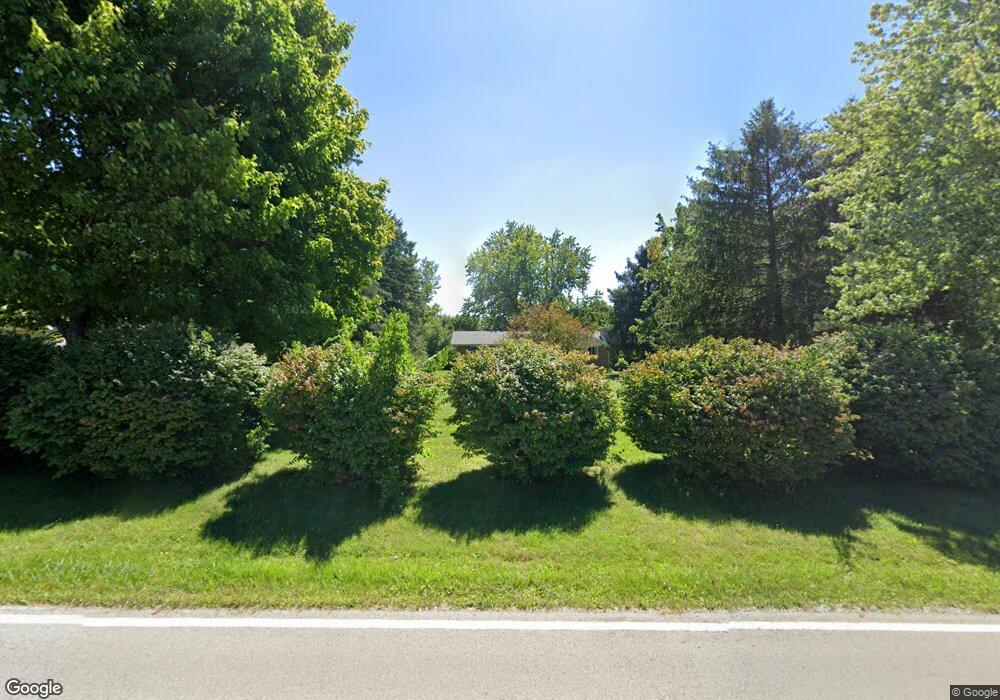
3625 Mumper Rd Springfield, OH 45502
Estimated Value: $301,000 - $402,173
About This Home
This home is located at 3625 Mumper Rd, Springfield, OH 45502 and is currently estimated at $343,043, approximately $219 per square foot. 3625 Mumper Rd is a home located in Clark County with nearby schools including Northridge Elementary School and Kenton Ridge Middle & High School.
Ownership History
We collect this data history from publicly available records. To have your information removed, we recommend requesting removal directly through your county’s website.
Purchase Details
Home Financials for this Owner
Home Financials are based on the most recent Mortgage that was taken out on this home.Purchase Details
Purchase Details
Purchase Details
Purchase History
We collect this data history from publicly available records. To have your information removed, we recommend requesting removal directly through your county’s website.
| Date | Buyer | Sale Price | Title Company |
|---|---|---|---|
| $390,000 | M & M Title | ||
| $390,000 | M & M Title | ||
| $201,800 | City Title | ||
| $201,800 | City Title | ||
| $125,000 | None Listed On Document | ||
| $125,000 | None Listed On Document | ||
| -- | -- | ||
| -- | -- |
Mortgage History
We collect this data history from publicly available records. To have your information removed, we recommend requesting removal directly through your county’s website.
| Date | Status | Borrower | Loan Amount |
|---|---|---|---|
| Open | $303,800 | ||
| Closed | $303,800 |
Tax History
We collect this data history from publicly available records. To have your information removed, we recommend requesting removal directly through your county’s website.
| Year | Tax Paid | Tax Assessment Tax Assessment Total Assessment is a certain percentage of the fair market value that is determined by local assessors to be the total taxable value of land and additions on the property. | Land | Improvement |
|---|---|---|---|---|
| 2025 | $3,386 | $90,970 | $19,170 | $71,800 |
| 2024 | $3,277 | $75,780 | $14,870 | $60,910 |
| 2023 | $3,277 | $75,780 | $14,870 | $60,910 |
| 2022 | $2,686 | $75,780 | $14,870 | $60,910 |
| 2021 | $2,686 | $62,340 | $12,190 | $50,150 |
| 2020 | $2,688 | $62,340 | $12,190 | $50,150 |
| 2019 | $2,740 | $62,340 | $12,190 | $50,150 |
| 2018 | $2,435 | $54,460 | $11,290 | $43,170 |
| 2017 | $2,087 | $54,457 | $11,288 | $43,169 |
| 2016 | $2,073 | $54,457 | $11,288 | $43,169 |
| 2015 | $1,972 | $50,632 | $11,288 | $39,344 |
| 2014 | $1,972 | $50,632 | $11,288 | $39,344 |
| 2013 | $1,926 | $50,632 | $11,288 | $39,344 |
Map
- 5844 Morris Rd
- 4401 Mumper Rd
- 6055 Prairie Rd
- 6407 Floyd Dr
- 4954 E County Line Rd
- 5029 Old Mechanicsburg Rd
- 1473 Knight Rd
- 4931 Bosart Rd
- 1602 Oldham Dr Unit 15
- 1788 Berwick Dr
- 1524 New Castle Ln
- 1738 Berwick Dr Unit 107
- 5235 Middle Urbana Rd
- 5866 Oldham Dr
- 5866 Oldham Dr Unit 4
- 5195 Burton Dr
- 4898 Brannan Dr E
- 4917 Auston St
- 5831 Ridgewood Rd W
- 4816 Middle Urbana Rd
- 3625 Mumper Rd
- 3617 Mumper Rd
- 3601 Mumper Rd
- 3525 Mumper Rd
- 6440 Morris Rd
- 3647 Mumper Rd
- 3671 Mumper Rd
- 3480 Sandalwood Ave
- 3695 Mumper Rd
- 3465 Sandalwood Ave
- 3456 Sandalwood Ave
- 6405 Morris Rd
- 3717 Mumper Rd
- 3441 Sandalwood Ave
- 3741 Mumper Rd
- 6316 Morris Rd
- 3470 Tamarack Ave
- 3428 Sandalwood Ave
- 3419 Sandalwood Ave
- 3763 Mumper Rd
Ask me questions while you tour the home.