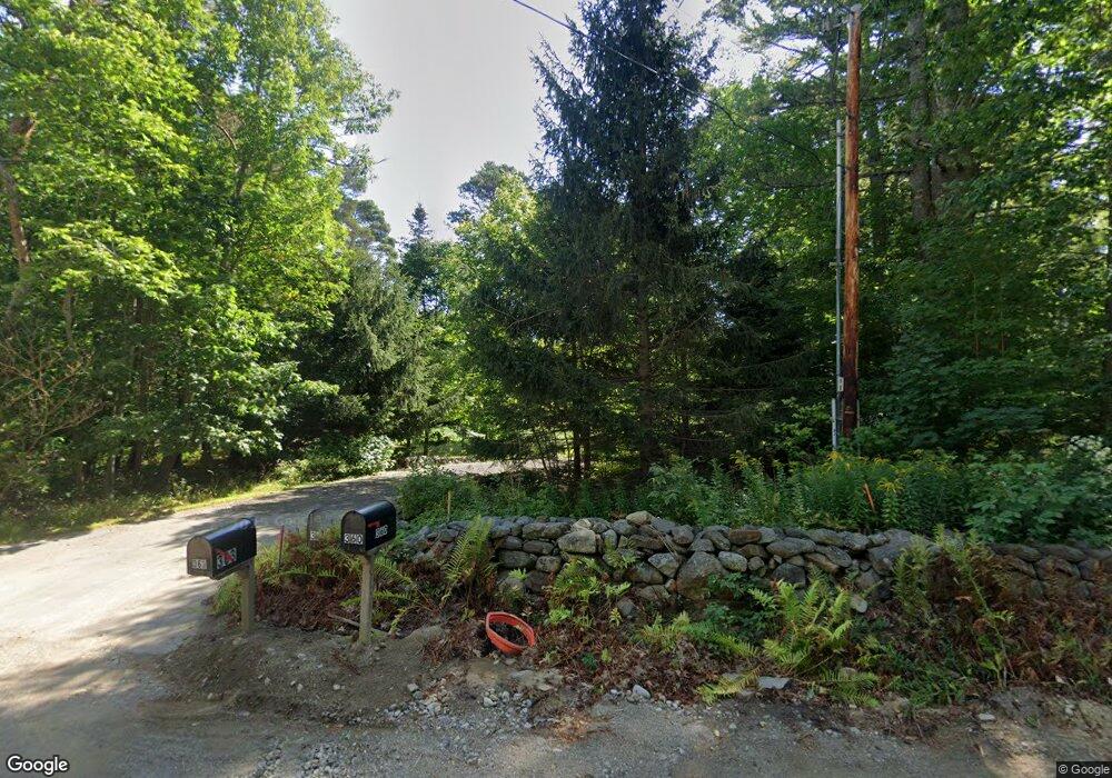
363 Belfast Rd Camden, ME 04843
Estimated Value: $1,061,000 - $2,883,000
--
Bed
--
Bath
--
Sq Ft
17.9
Acres
About This Home
This home is located at 363 Belfast Rd, Camden, ME 04843 and is currently estimated at $2,191,942. 363 Belfast Rd is a home with nearby schools including Camden-Rockport Elementary School, Camden-Rockport Middle School, and Camden Hills Regional High School.
Ownership History
Date
Name
Owned For
Owner Type
Purchase Details
Closed on
Apr 27, 2021
Sold by
S Stonebraker Grassi T
Bought by
Grassi Ft
Current Estimated Value
Home Financials for this Owner
Home Financials are based on the most recent Mortgage that was taken out on this home.
Original Mortgage
$1,000,100
Outstanding Balance
$904,923
Interest Rate
3%
Mortgage Type
Purchase Money Mortgage
Estimated Equity
$1,287,019
Purchase Details
Closed on
Dec 31, 2013
Sold by
Grassi Sally S
Bought by
S Stonebraker Grassi T
Create a Home Valuation Report for This Property
The Home Valuation Report is an in-depth analysis detailing your home's value as well as a comparison with similar homes in the area
Home Values in the Area
Average Home Value in this Area
Purchase History
| Date | Buyer | Sale Price | Title Company |
|---|---|---|---|
| Grassi Ft | -- | None Available | |
| S Stonebraker Grassi T | -- | -- |
Source: Public Records
Mortgage History
| Date | Status | Borrower | Loan Amount |
|---|---|---|---|
| Open | Grassi Ft | $1,000,100 |
Source: Public Records
Tax History Compared to Growth
Tax History
| Year | Tax Paid | Tax Assessment Tax Assessment Total Assessment is a certain percentage of the fair market value that is determined by local assessors to be the total taxable value of land and additions on the property. | Land | Improvement |
|---|---|---|---|---|
| 2024 | $32,278 | $3,074,100 | $1,319,300 | $1,754,800 |
| 2023 | $31,813 | $2,305,300 | $1,031,700 | $1,273,600 |
| 2022 | $30,430 | $2,305,300 | $1,031,700 | $1,273,600 |
| 2021 | $33,339 | $2,171,900 | $922,500 | $1,249,400 |
| 2020 | $32,644 | $2,171,900 | $922,500 | $1,249,400 |
| 2019 | $32,383 | $2,171,900 | $922,500 | $1,249,400 |
| 2018 | $34,958 | $2,349,300 | $1,136,700 | $1,212,600 |
| 2017 | $33,783 | $2,349,300 | $1,136,700 | $1,212,600 |
| 2016 | $44,913 | $2,880,900 | $1,333,800 | $1,547,100 |
| 2015 | $42,771 | $2,826,900 | $1,333,800 | $1,493,100 |
| 2014 | $40,792 | $2,826,900 | $1,333,800 | $1,493,100 |
| 2013 | $39,690 | $2,826,900 | $1,333,800 | $1,493,100 |
Source: Public Records
Map
Nearby Homes
- 440 Belfast Rd Unit Inio E1
- 440 Belfast Rd Unit Inio E2
- 440 Belfast Rd Unit Naan.D1
- 440 Belfast Rd Unit Naan.C1
- 440 Belfast Rd Unit Naan.C2
- 190 Belfast Rd
- 555 Belfast Rd
- 24 Timbercliffe Dr
- 122,6-1 Timbercliffe Dr
- 122,7-1 Timbercliffe Dr
- 59 High St
- 00 Mountain Arrow Dr Unit LOT B
- 27 High St
- 9 Harden Ave
- 110 Mountain St
- 11 A Mountainside Park
- 1 Branch St
- 11 Iron Bluff Rd
- 6 Bay Rd
- 12 Free St
- 48 Springbrook Hill Rd
- 40 Springbrook Hill Rd
- 39 Springbrook Hill Rd
- 389 Belfast Rd
- 36 Springbrook Hill Rd
- 353 Belfast
- M122L22 Belfast Rd
- M122L20 Belfast Rd
- 339 Belfast Rd
- 30 Springbrook Hill Rd
- 15 Springbrook Hill Rd
- 15 Spring Brook Hill Rd
- 7 Springbrook Hill Rd
- 556 Belfast Rd
- 165 Belfast Rd
- 372 Belfast Rd
- 1 Springbrook Hill Rd
- 1 Spring Brook Hill Rd
- 340 Belfast Rd
