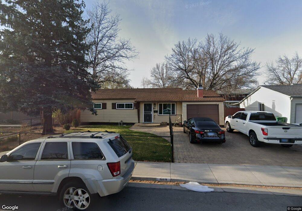
363 Richards Way Sparks, NV 89431
McCarran Boulevard-Probasco NeighborhoodEstimated Value: $394,000 - $433,000
3
Beds
2
Baths
1,512
Sq Ft
$270/Sq Ft
Est. Value
About This Home
This home is located at 363 Richards Way, Sparks, NV 89431 and is currently estimated at $408,177, approximately $269 per square foot. 363 Richards Way is a home located in Washoe County with nearby schools including Greenbrae Elementary School, George L Dilworth Middle School, and Sparks High School.
Ownership History
Date
Name
Owned For
Owner Type
Purchase Details
Closed on
Aug 3, 2018
Sold by
Ernst Hans Karl
Bought by
Ruiz Lisa S and Ruiz Reynaldo
Current Estimated Value
Home Financials for this Owner
Home Financials are based on the most recent Mortgage that was taken out on this home.
Original Mortgage
$221,906
Outstanding Balance
$195,256
Interest Rate
5.12%
Mortgage Type
FHA
Estimated Equity
$212,921
Create a Home Valuation Report for This Property
The Home Valuation Report is an in-depth analysis detailing your home's value as well as a comparison with similar homes in the area
Home Values in the Area
Average Home Value in this Area
Purchase History
| Date | Buyer | Sale Price | Title Company |
|---|---|---|---|
| Ruiz Lisa S | $226,000 | Western Title Co |
Source: Public Records
Mortgage History
| Date | Status | Borrower | Loan Amount |
|---|---|---|---|
| Open | Ruiz Lisa S | $221,906 |
Source: Public Records
Tax History Compared to Growth
Tax History
| Year | Tax Paid | Tax Assessment Tax Assessment Total Assessment is a certain percentage of the fair market value that is determined by local assessors to be the total taxable value of land and additions on the property. | Land | Improvement |
|---|---|---|---|---|
| 2025 | $1,438 | $53,062 | $33,565 | $19,497 |
| 2024 | $1,438 | $49,267 | $30,065 | $19,202 |
| 2023 | $604 | $49,108 | $31,325 | $17,783 |
| 2022 | $814 | $40,660 | $26,180 | $14,480 |
| 2021 | $1,396 | $32,063 | $17,955 | $14,108 |
| 2020 | $618 | $28,456 | $16,940 | $11,516 |
| 2019 | $589 | $26,761 | $15,890 | $10,871 |
| 2018 | $563 | $22,169 | $11,725 | $10,444 |
| 2017 | $547 | $20,799 | $10,395 | $10,404 |
| 2016 | $532 | $19,760 | $9,345 | $10,415 |
| 2015 | $530 | $17,948 | $7,700 | $10,248 |
| 2014 | $514 | $16,143 | $6,440 | $9,703 |
| 2013 | -- | $13,687 | $4,270 | $9,417 |
Source: Public Records
Map
Nearby Homes
- 1940 4th St Unit 20
- 1940 4th St Unit 51
- 1945 4th St Unit 32
- 1945 4th St Unit 33
- 1945 4th St Unit 10
- 1703 1st St
- 119 Devere Way
- 8 E O St
- 10 Sheridan Way
- 465 Lenwood Dr
- 1705 9th St
- 1023 Tyler Way
- 300 I St
- 1003 Sbragia Way
- 345 H St
- 780 Emerson Way
- 1110 Xman Way
- 120 E Lenwood Dr
- 2865 Patrice Dr
- 1160 York Way
- 363 Richards Way Unit Way
- 383 Richards Way
- 343 Richards Way
- 1940 4th St Unit 45
- 1940 4th St Unit 54
- 340 Richards Way
- 380 Richards Way
- 330 Richards Way
- 2140 4th St
- 1940 4th St
- 1940 4th St Unit 43
- 1940 4th St Unit 34
- 1940 4th St Unit 27
- 1940 4th St Unit 7
- 1940 4th St Unit 55
- 1940 4th St Unit 47
- 1940 4th St Unit 14
- 1940 4th St Unit 5
- 1940 4th St Unit 33
- 1940 4th St Unit 24