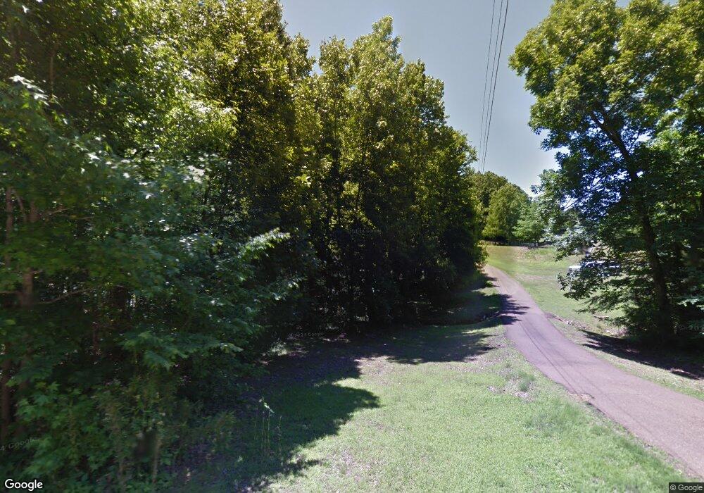
363 Savage Rd Hernando, MS 38632
Estimated Value: $231,776 - $296,000
2
Beds
--
Bath
1,257
Sq Ft
$211/Sq Ft
Est. Value
About This Home
This home is located at 363 Savage Rd, Hernando, MS 38632 and is currently estimated at $265,592, approximately $211 per square foot. 363 Savage Rd is a home located in DeSoto County with nearby schools including Oak Grove Central Elementary School, Hernando Elementary School, and Hernando Hills Elementary.
Ownership History
Date
Name
Owned For
Owner Type
Purchase Details
Closed on
Apr 2, 2020
Sold by
Williams Daniel Clayton and Williams Stephanie Mayer
Bought by
Ray Raymond and Ray Heather
Current Estimated Value
Home Financials for this Owner
Home Financials are based on the most recent Mortgage that was taken out on this home.
Original Mortgage
$183,612
Outstanding Balance
$161,595
Interest Rate
3.4%
Mortgage Type
FHA
Estimated Equity
$103,997
Create a Home Valuation Report for This Property
The Home Valuation Report is an in-depth analysis detailing your home's value as well as a comparison with similar homes in the area
Home Values in the Area
Average Home Value in this Area
Purchase History
| Date | Buyer | Sale Price | Title Company |
|---|---|---|---|
| Ray Raymond | -- | Guardian Title Llc |
Source: Public Records
Mortgage History
| Date | Status | Borrower | Loan Amount |
|---|---|---|---|
| Open | Ray Raymond | $183,612 |
Source: Public Records
Tax History Compared to Growth
Tax History
| Year | Tax Paid | Tax Assessment Tax Assessment Total Assessment is a certain percentage of the fair market value that is determined by local assessors to be the total taxable value of land and additions on the property. | Land | Improvement |
|---|---|---|---|---|
| 2025 | $826 | $13,492 | $3,000 | $10,492 |
| 2024 | $730 | $10,196 | $3,000 | $7,196 |
| 2023 | $730 | $9,136 | $0 | $0 |
| 2022 | $624 | $9,148 | $3,000 | $6,148 |
| 2021 | $624 | $9,148 | $3,000 | $6,148 |
| 2020 | $576 | $8,673 | $0 | $0 |
| 2019 | $576 | $8,673 | $3,000 | $5,673 |
| 2017 | $547 | $13,654 | $8,327 | $5,327 |
| 2016 | $547 | $8,326 | $3,000 | $5,326 |
| 2015 | $847 | $13,652 | $8,326 | $5,326 |
| 2014 | $547 | $8,326 | $0 | $0 |
| 2013 | $470 | $8,326 | $0 | $0 |
Source: Public Records
Map
Nearby Homes
- 537 Vinson Rd
- 5441 Grays Valley Dr
- 0 Ranch Rd
- 1561 Kimber Cove
- 5064 Sophia Ln
- 255 Magnolia Gardens Dr
- 2008 Slocum Rd
- 1474 Tributary Dr
- 3395 Hourglass Dr W
- 2142 Lauren Way
- 3751 Madison Ridge
- 1528 Tributary Dr
- 1542 Amy Taylor Dr
- 5333 Cane Creek Cove
- 5341 Cane Creek Cove
- 5337 Cane Creek Cove
- 5336 Cane Creek Cove
- 1832 Tributary Dr
- 1792 Tributary Dr
- 1593 Tributary Dr
- 397 Savage Rd
- 320 Savage Rd
- 0 Savage Rd
- 4895 Belmont Rd
- 5041 Belmont Rd
- 380 Savage Rd
- 12 Belmont Rd
- 4848 Belmont Rd
- 5072 Belmont Rd
- 5121 Belmont Rd
- 470 Savage Rd
- 5100 Belmont Rd
- 480 Savage Rd
- 5169 Belmont Rd
- 5096 Belmont Rd
- 4855 Belmont Rd
- 4925 Belmont Rd
- 4800 Belmont Rd
- 4811 Belmont Rd
- 473 Savage Rd
