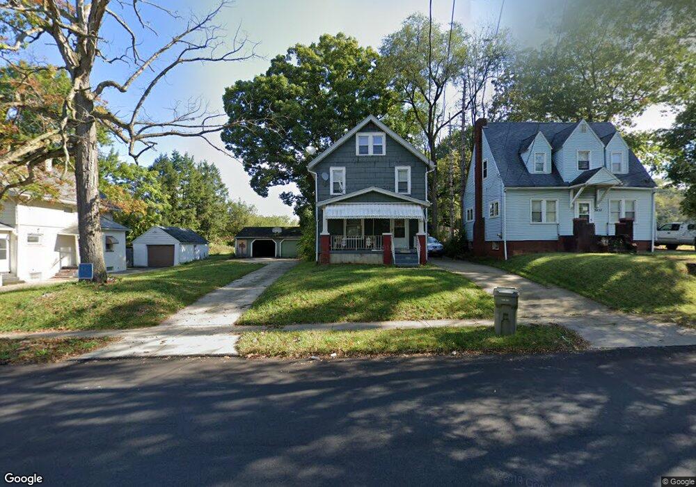
3631 Powers Way Youngstown, OH 44502
Buckeye Plat NeighborhoodEstimated Value: $74,000
3
Beds
1
Bath
1,284
Sq Ft
$58/Sq Ft
Est. Value
About This Home
This home is located at 3631 Powers Way, Youngstown, OH 44502 and is currently estimated at $74,000, approximately $57 per square foot. 3631 Powers Way is a home located in Mahoning County with nearby schools including Paul C. Bunn Elementary School, Chaney High School, and Summit Academy Secondary School - Youngstown.
Ownership History
Date
Name
Owned For
Owner Type
Purchase Details
Closed on
Aug 25, 2023
Sold by
Rekdahl Mitchell and Rekdahl Pamela Ann
Bought by
Mojica Genaro Rojas and Garcia Maria T
Current Estimated Value
Home Financials for this Owner
Home Financials are based on the most recent Mortgage that was taken out on this home.
Original Mortgage
$48,044
Outstanding Balance
$46,967
Interest Rate
6.9%
Mortgage Type
New Conventional
Estimated Equity
$27,033
Purchase Details
Closed on
Jul 29, 1982
Bought by
Schmidt Wm E and Schmidt Judith
Create a Home Valuation Report for This Property
The Home Valuation Report is an in-depth analysis detailing your home's value as well as a comparison with similar homes in the area
Home Values in the Area
Average Home Value in this Area
Purchase History
| Date | Buyer | Sale Price | Title Company |
|---|---|---|---|
| Mojica Genaro Rojas | $51,000 | None Listed On Document | |
| Mojica Genaro Rojas | $51,000 | None Listed On Document | |
| Schmidt Wm E | -- | -- |
Source: Public Records
Mortgage History
| Date | Status | Borrower | Loan Amount |
|---|---|---|---|
| Open | Mojica Genaro Rojas | $48,044 | |
| Closed | Mojica Genaro Rojas | $48,044 |
Source: Public Records
Tax History Compared to Growth
Tax History
| Year | Tax Paid | Tax Assessment Tax Assessment Total Assessment is a certain percentage of the fair market value that is determined by local assessors to be the total taxable value of land and additions on the property. | Land | Improvement |
|---|---|---|---|---|
| 2024 | $43 | $830 | $270 | $560 |
| 2023 | $43 | $830 | $270 | $560 |
| 2022 | $58 | $880 | $340 | $540 |
| 2021 | $208 | $880 | $340 | $540 |
| 2020 | $209 | $880 | $340 | $540 |
| 2019 | $62 | $800 | $310 | $490 |
| 2018 | $63 | $800 | $310 | $490 |
| 2017 | $60 | $800 | $310 | $490 |
| 2016 | $107 | $1,580 | $620 | $960 |
| 2015 | $513 | $7,710 | $620 | $7,090 |
| 2014 | $485 | $7,710 | $620 | $7,090 |
| 2013 | $478 | $7,710 | $620 | $7,090 |
Source: Public Records
Map
Nearby Homes
- 2016 Pointview Ave
- 3448 Neilson Ave
- 3509 Lenox Ave
- 3337 Powers Way
- 2007 E Midlothian Blvd
- 0 Crescent Dr Unit 5124984
- 1954 Everett Ave
- 2510 E Midlothian Blvd
- 2562 Mount Vernon Ave
- 3222 Sheridan Rd
- 0 Weston Ave
- 1928 Medford Ave
- 2577 E Midlothian Blvd
- 2001 Brownlee Ave
- 2743 Mount Vernon Ave
- 3551 Shirley Rd
- 1653 Brownlee Ave
- 1447 Humbolt Ave
- 1654 Wakefield Ave
- 1633 Wakefield Ave
- 3635 Powers Way
- 3627 Powers Way
- 3637 Powers Way
- 3623 Powers Way
- 3628 Loveland Rd
- 3630 Loveland Rd
- 3619 Powers Way
- 3647 Powers Way
- 3615 Powers Way
- 3632 Powers Way
- 3650 Powers Way
- 3608 Loveland Rd
- 3616 Powers Way
- 3603 Belden Ave
- 3652 Powers Way
- 3654 Powers Way
- 3649 Powers Way
- 3610 Powers Way
- 3637 Loveland Rd
- 3625 Loveland Rd