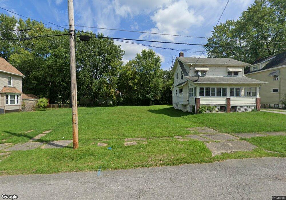
3633 Neilson Ave Youngstown, OH 44502
Buckeye Plat NeighborhoodEstimated Value: $122,000 - $129,000
--
Bed
1
Bath
--
Sq Ft
5,009
Sq Ft Lot
About This Home
This home is located at 3633 Neilson Ave, Youngstown, OH 44502 and is currently estimated at $125,500. 3633 Neilson Ave is a home located in Mahoning County with nearby schools including Paul C. Bunn Elementary School, Chaney High School, and Summit Academy Secondary School - Youngstown.
Ownership History
Date
Name
Owned For
Owner Type
Purchase Details
Closed on
Sep 6, 2023
Sold by
Sheriff Of Mahoning County Ohio
Bought by
City Of Youngstown
Current Estimated Value
Purchase Details
Closed on
Dec 20, 2006
Sold by
Nb Enterprises Inc
Bought by
Wbig Inc and Wealth Builders Investment Group Inc
Purchase Details
Closed on
Dec 19, 2006
Sold by
Wells Fargo Bank Minnesotta Na
Bought by
Nb Enterprises Inc and Purpose Investments Llc
Purchase Details
Closed on
Mar 28, 2005
Sold by
Miner James L and Miner Lori S
Bought by
Wells Fargo Bank Minnesota Na
Purchase Details
Closed on
Apr 7, 1995
Sold by
Host William J
Bought by
Miner James L and Miner Lori S
Purchase Details
Closed on
Oct 24, 1966
Bought by
Host William J
Create a Home Valuation Report for This Property
The Home Valuation Report is an in-depth analysis detailing your home's value as well as a comparison with similar homes in the area
Home Values in the Area
Average Home Value in this Area
Purchase History
| Date | Buyer | Sale Price | Title Company |
|---|---|---|---|
| City Of Youngstown | $4,411 | None Listed On Document | |
| City Of Youngstown | $4,411 | None Listed On Document | |
| Wbig Inc | $12,100 | Service Link Lp | |
| Nb Enterprises Inc | $12,100 | Attorney | |
| Wells Fargo Bank Minnesota Na | $18,000 | -- | |
| Miner James L | $22,000 | -- | |
| Host William J | -- | -- |
Source: Public Records
Tax History Compared to Growth
Tax History
| Year | Tax Paid | Tax Assessment Tax Assessment Total Assessment is a certain percentage of the fair market value that is determined by local assessors to be the total taxable value of land and additions on the property. | Land | Improvement |
|---|---|---|---|---|
| 2024 | -- | $320 | $320 | -- |
| 2022 | $25 | $390 | $390 | $0 |
| 2021 | $25 | $390 | $390 | $0 |
| 2020 | $25 | $390 | $390 | $0 |
| 2019 | $25 | $360 | $360 | $0 |
| 2018 | $30 | $360 | $360 | $0 |
| 2017 | $26 | $360 | $360 | $0 |
| 2016 | $174 | $360 | $360 | $0 |
| 2015 | $339 | $360 | $360 | $0 |
| 2014 | $23 | $360 | $360 | $0 |
| 2013 | $23 | $360 | $360 | $0 |
Source: Public Records
Map
Nearby Homes
- 2016 Pointview Ave
- 3509 Lenox Ave
- 2007 E Midlothian Blvd
- 3448 Neilson Ave
- 0 Crescent Dr Unit 5124984
- 1954 Everett Ave
- 3337 Powers Way
- 2510 E Midlothian Blvd
- 2562 Mount Vernon Ave
- 0 Weston Ave
- 1928 Medford Ave
- 1646 Weston Ave
- 2577 E Midlothian Blvd
- 2001 Brownlee Ave
- 3222 Sheridan Rd
- 2743 Mount Vernon Ave
- 1653 Brownlee Ave
- 1654 Wakefield Ave
- 3551 Shirley Rd
- 1633 Wakefield Ave
- 3635 Neilson Ave
- 3631 Neilson Ave
- 3629 Neilson Ave
- 3637 Neilson Ave
- 3623 Neilson Ave
- 3643 Neilson Ave
- 3632 Powers Way
- 3650 Powers Way
- 3621 Neilson Ave
- 3652 Powers Way
- 3636 Neilson Ave
- 3640 Neilson Ave
- 3632 Neilson Ave
- 3615 Neilson Ave
- 3628 Neilson Ave
- 3651 Neilson Ave
- 3620 Neilson Ave
- 3648 Neilson Ave
- 3616 Powers Way
- 3611 Neilson Ave