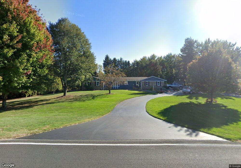
3634 146th Ave Hamilton, MI 49419
Estimated Value: $391,360 - $478,000
3
Beds
3
Baths
1,816
Sq Ft
$243/Sq Ft
Est. Value
About This Home
This home is located at 3634 146th Ave, Hamilton, MI 49419 and is currently estimated at $441,840, approximately $243 per square foot. 3634 146th Ave is a home located in Allegan County with nearby schools including Cityside Middle School and Zeeland East High School.
Ownership History
Date
Name
Owned For
Owner Type
Purchase Details
Closed on
Oct 15, 2024
Sold by
Osterink Steve and Osterink Marijo
Bought by
Steve And Marijo Osterink Trust and Osterink
Current Estimated Value
Purchase Details
Closed on
Apr 18, 2007
Sold by
Osterink Marijo and Vogelzang Marijo
Bought by
Osterink Steve and Osterink Marijo
Home Financials for this Owner
Home Financials are based on the most recent Mortgage that was taken out on this home.
Original Mortgage
$100,000
Interest Rate
5.91%
Mortgage Type
New Conventional
Create a Home Valuation Report for This Property
The Home Valuation Report is an in-depth analysis detailing your home's value as well as a comparison with similar homes in the area
Purchase History
| Date | Buyer | Sale Price | Title Company |
|---|---|---|---|
| Steve And Marijo Osterink Trust | -- | None Listed On Document | |
| Osterink Steve | -- | Keystone Lighthouse Title |
Source: Public Records
Mortgage History
| Date | Status | Borrower | Loan Amount |
|---|---|---|---|
| Previous Owner | Osterink Steve | $100,000 |
Source: Public Records
Tax History
| Year | Tax Paid | Tax Assessment Tax Assessment Total Assessment is a certain percentage of the fair market value that is determined by local assessors to be the total taxable value of land and additions on the property. | Land | Improvement |
|---|---|---|---|---|
| 2025 | $3,152 | $171,300 | $23,300 | $148,000 |
| 2024 | $2,850 | $170,500 | $22,200 | $148,300 |
| 2023 | $2,850 | $162,900 | $20,900 | $142,000 |
| 2022 | $2,850 | $138,100 | $17,600 | $120,500 |
| 2020 | $2,683 | $125,300 | $16,300 | $109,000 |
| 2019 | $0 | $117,900 | $13,500 | $104,400 |
| 2018 | $0 | $104,300 | $16,500 | $87,800 |
| 2017 | $0 | $102,100 | $14,800 | $87,300 |
| 2016 | $0 | $87,600 | $19,400 | $68,200 |
| 2015 | -- | $87,600 | $19,400 | $68,200 |
| 2014 | -- | $83,950 | $17,500 | $66,450 |
| 2013 | -- | $81,700 | $17,500 | $64,200 |
Source: Public Records
Map
Nearby Homes
- 4596 Winding Creek Ln
- 4574 34th St
- 4564 34th St
- Parcel H 34th St
- 312 48th Ave
- Parcel 7 40th St
- 4277 Mason St
- 4040 Adams St
- 4144 Spring Meadow Dr
- 6341 Adams St
- 3712 Shoreside Ct
- 5105 Perry St
- V/L Adams St Unit A
- 3123 140th Ave
- 4618 44th St
- 4089 30th St
- 0 Byron Rd Unit 21097738
- 2520 Air Park Dr Unit 3
- 2521 Air Park Dr
- 2415 Dayflower Blvd Unit 15
Your Personal Tour Guide
Ask me questions while you tour the home.