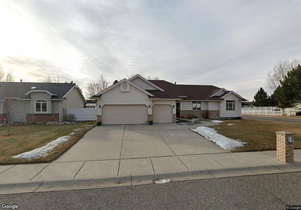
3636 Colin Dr Billings, MT 59102
North Central Billings NeighborhoodEstimated Value: $540,000 - $578,000
4
Beds
4
Baths
1,815
Sq Ft
$305/Sq Ft
Est. Value
About This Home
This home is located at 3636 Colin Dr, Billings, MT 59102 and is currently estimated at $554,480, approximately $305 per square foot. 3636 Colin Dr is a home located in Yellowstone County with nearby schools including Arrowhead School, Ben Steele Middle School, and Billings West High School.
Ownership History
Date
Name
Owned For
Owner Type
Purchase Details
Closed on
May 27, 2022
Sold by
Persha Michael A and Persha Sandra L
Bought by
Aspenlieder Scott
Current Estimated Value
Home Financials for this Owner
Home Financials are based on the most recent Mortgage that was taken out on this home.
Original Mortgage
$856,277
Interest Rate
5%
Mortgage Type
Construction
Create a Home Valuation Report for This Property
The Home Valuation Report is an in-depth analysis detailing your home's value as well as a comparison with similar homes in the area
Home Values in the Area
Average Home Value in this Area
Purchase History
| Date | Buyer | Sale Price | Title Company |
|---|---|---|---|
| Aspenlieder Scott | -- | None Listed On Document |
Source: Public Records
Mortgage History
| Date | Status | Borrower | Loan Amount |
|---|---|---|---|
| Closed | Aspenlieder Scott | $856,277 |
Source: Public Records
Tax History Compared to Growth
Tax History
| Year | Tax Paid | Tax Assessment Tax Assessment Total Assessment is a certain percentage of the fair market value that is determined by local assessors to be the total taxable value of land and additions on the property. | Land | Improvement |
|---|---|---|---|---|
| 2025 | $4,524 | $545,000 | $113,325 | $431,675 |
| 2024 | $4,524 | $470,500 | $101,922 | $368,578 |
| 2023 | $4,524 | $470,500 | $101,922 | $368,578 |
| 2022 | $3,611 | $326,000 | $76,257 | $249,743 |
| 2021 | $3,425 | $326,000 | $0 | $0 |
| 2020 | $3,661 | $336,100 | $0 | $0 |
| 2019 | $3,492 | $336,100 | $0 | $0 |
| 2018 | $3,281 | $308,900 | $0 | $0 |
| 2017 | $3,187 | $308,900 | $0 | $0 |
| 2016 | $3,056 | $299,900 | $0 | $0 |
| 2015 | $3,001 | $381,400 | $0 | $0 |
| 2014 | $3,259 | $176,066 | $0 | $0 |
Source: Public Records
Map
Nearby Homes
- 3743 Hayden Dr
- 3617 Marjorie Dr
- 2510 Zimmerman Trail
- 3441 Poly Dr Unit 15
- 1747 Tiburon Ln
- 2786 Zimmerman Trail
- 1713 Tiburon Ln
- 2745 Zimmerman Trail
- 3405 Arlene Cir
- 2830 Arrowhead Meadows Dr
- 3928 Audubon Way
- 3023 Melrose Ln
- 3107 Poly Dr
- 4044 Backwoods Dr
- 1606 Golden Blvd
- 3323 Reimers Park Dr
- 1524 Golden Blvd
- 3101 Mcbride St
- 3316 Laredo Place
- 2213 Westfield Dr