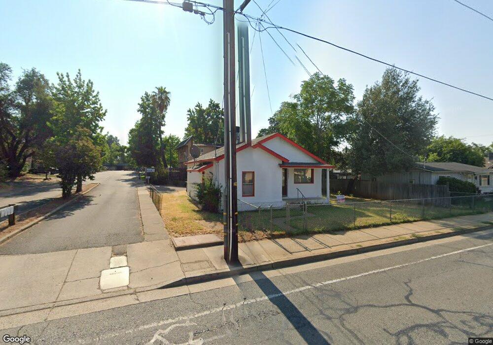
3637 Churn Creek Rd Redding, CA 96002
Enterprise NeighborhoodEstimated Value: $223,063 - $312,000
--
Bed
--
Bath
--
Sq Ft
6,970
Sq Ft Lot
About This Home
This home is located at 3637 Churn Creek Rd, Redding, CA 96002 and is currently estimated at $276,016. 3637 Churn Creek Rd is a home located in Shasta County with nearby schools including Lassen View Elementary School, Parsons Junior High School, and Enterprise High School.
Ownership History
Date
Name
Owned For
Owner Type
Purchase Details
Closed on
Jan 12, 2007
Sold by
Silvas Andrew P
Bought by
Silvas Patricia M
Current Estimated Value
Purchase Details
Closed on
Sep 9, 1997
Sold by
Patricia French and Patricia M
Bought by
Silvas Andrew P and Silvas Patricia M
Create a Home Valuation Report for This Property
The Home Valuation Report is an in-depth analysis detailing your home's value as well as a comparison with similar homes in the area
Home Values in the Area
Average Home Value in this Area
Purchase History
| Date | Buyer | Sale Price | Title Company |
|---|---|---|---|
| Silvas Patricia M | -- | None Available | |
| Silvas Andrew P | -- | First American Title Co |
Source: Public Records
Tax History Compared to Growth
Tax History
| Year | Tax Paid | Tax Assessment Tax Assessment Total Assessment is a certain percentage of the fair market value that is determined by local assessors to be the total taxable value of land and additions on the property. | Land | Improvement |
|---|---|---|---|---|
| 2025 | $745 | $72,779 | $35,404 | $37,375 |
| 2024 | $733 | $71,353 | $34,710 | $36,643 |
| 2023 | $733 | $69,955 | $34,030 | $35,925 |
| 2022 | $710 | $68,584 | $33,363 | $35,221 |
| 2021 | $685 | $67,240 | $32,709 | $34,531 |
| 2020 | $680 | $66,551 | $32,374 | $34,177 |
| 2019 | $673 | $65,247 | $31,740 | $33,507 |
| 2018 | $664 | $63,968 | $31,118 | $32,850 |
| 2017 | $673 | $62,714 | $30,508 | $32,206 |
| 2016 | $629 | $61,485 | $29,910 | $31,575 |
| 2015 | $623 | $60,562 | $29,461 | $31,101 |
| 2014 | $616 | $59,376 | $28,884 | $30,492 |
Source: Public Records
Map
Nearby Homes
- 3661 Churn Creek Rd Unit 1
- 3661 Churn Creek Rd
- 1000 Harpole Rd
- 1030 Harpole Rd
- 3611 Churn Creek Rd
- 1036 Harpole Rd
- 3700 Churn Creek Rd
- 1046 Harpole Rd
- Not known Churn Creek Rd
- 511 Churn Creek Rd
- 1055 Harpole Rd
- 1082 Harpole Rd
- 1013 Echo Rd
- 3725 Churn Creek Rd
- 3712 Churn Creek Rd
- 3723 Churn Creek Rd
- 3729 Churn Creek Rd
- 1077 Harpole Rd
- 1088 Harpole Rd
- 1063 Harpole Rd