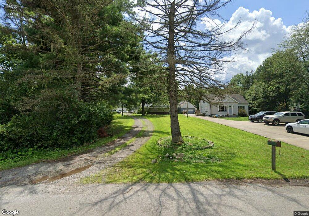
3645 Riblett Rd Youngstown, OH 44515
Austintown NeighborhoodEstimated Value: $138,000 - $222,000
3
Beds
1
Bath
1,976
Sq Ft
$83/Sq Ft
Est. Value
About This Home
This home is located at 3645 Riblett Rd, Youngstown, OH 44515 and is currently estimated at $163,489, approximately $82 per square foot. 3645 Riblett Rd is a home located in Mahoning County with nearby schools including Austintown Elementary School, Austintown Intermediate School, and Austintown Middle School.
Ownership History
Date
Name
Owned For
Owner Type
Purchase Details
Closed on
Apr 17, 2008
Sold by
Goodyear Barbara A and Goodyear Richard
Bought by
Drnek Jesse J
Current Estimated Value
Home Financials for this Owner
Home Financials are based on the most recent Mortgage that was taken out on this home.
Original Mortgage
$62,016
Outstanding Balance
$39,530
Interest Rate
6.09%
Mortgage Type
FHA
Estimated Equity
$123,959
Purchase Details
Closed on
Nov 17, 2005
Sold by
Estate Of Connie H Sanders
Bought by
Goodyear Barbara A
Create a Home Valuation Report for This Property
The Home Valuation Report is an in-depth analysis detailing your home's value as well as a comparison with similar homes in the area
Home Values in the Area
Average Home Value in this Area
Purchase History
| Date | Buyer | Sale Price | Title Company |
|---|---|---|---|
| Drnek Jesse J | $63,000 | Commonwealth | |
| Goodyear Barbara A | -- | -- |
Source: Public Records
Mortgage History
| Date | Status | Borrower | Loan Amount |
|---|---|---|---|
| Open | Drnek Jesse J | $62,016 |
Source: Public Records
Tax History Compared to Growth
Tax History
| Year | Tax Paid | Tax Assessment Tax Assessment Total Assessment is a certain percentage of the fair market value that is determined by local assessors to be the total taxable value of land and additions on the property. | Land | Improvement |
|---|---|---|---|---|
| 2024 | $953 | $20,780 | $3,650 | $17,130 |
| 2023 | $938 | $20,780 | $3,650 | $17,130 |
| 2022 | $1,173 | $20,850 | $3,020 | $17,830 |
| 2021 | $1,174 | $20,850 | $3,020 | $17,830 |
| 2020 | $1,179 | $20,850 | $3,020 | $17,830 |
| 2019 | $1,004 | $16,140 | $2,630 | $13,510 |
| 2018 | $966 | $16,140 | $2,630 | $13,510 |
| 2017 | $963 | $16,140 | $2,630 | $13,510 |
| 2016 | $1,151 | $19,110 | $2,190 | $16,920 |
| 2015 | $1,116 | $19,110 | $2,190 | $16,920 |
| 2014 | $1,121 | $19,110 | $2,190 | $16,920 |
| 2013 | $1,109 | $19,110 | $2,190 | $16,920 |
Source: Public Records
Map
Nearby Homes
- 4028 Lanterman Rd
- 2442 Oregon Ave
- 2416 Oregon Ave
- 2453 Eddie St
- 0 W Liberty Unit 5153649
- 453 N Dunlap Ave
- 460 N Osborn Ave
- 2700 W Liberty St
- 212 N Navarre Ave
- 2208 Cherry Hill Ave
- 635 N Hazelwood Ave
- 423 Imperial St
- 446 N Schenley Ave
- 2101 Cherry Hill Ave
- 2555 Walnut St
- W Liberty St Unit LotWP001
- 104 N Meridian Rd
- 169 Westminster Ave
- 141 Wesley Ave Unit 143
- 161 N Roanoke Ave
- 3687 Riblett Rd
- 3685 Riblett Rd
- 3648 Riblett Rd
- 3686 Riblett Rd
- 3691 Riblett Rd
- 1142 N Meridian Rd
- 3690 Riblett Rd
- 1099 N Meridian Rd
- 3711 Riblett Rd
- 3738 Riblett Rd
- 3733 Riblett Rd
- 3798 Riblett Rd
- 1185 N Meridian Rd
- 1191 N Meridian Rd
- 1214 N Meridian Rd
- 1085 Beaver Dr
- 3704 Annetta Ave
- 3810 Riblett Rd
- 1230 N Meridian Rd
- 1249 Mildred St