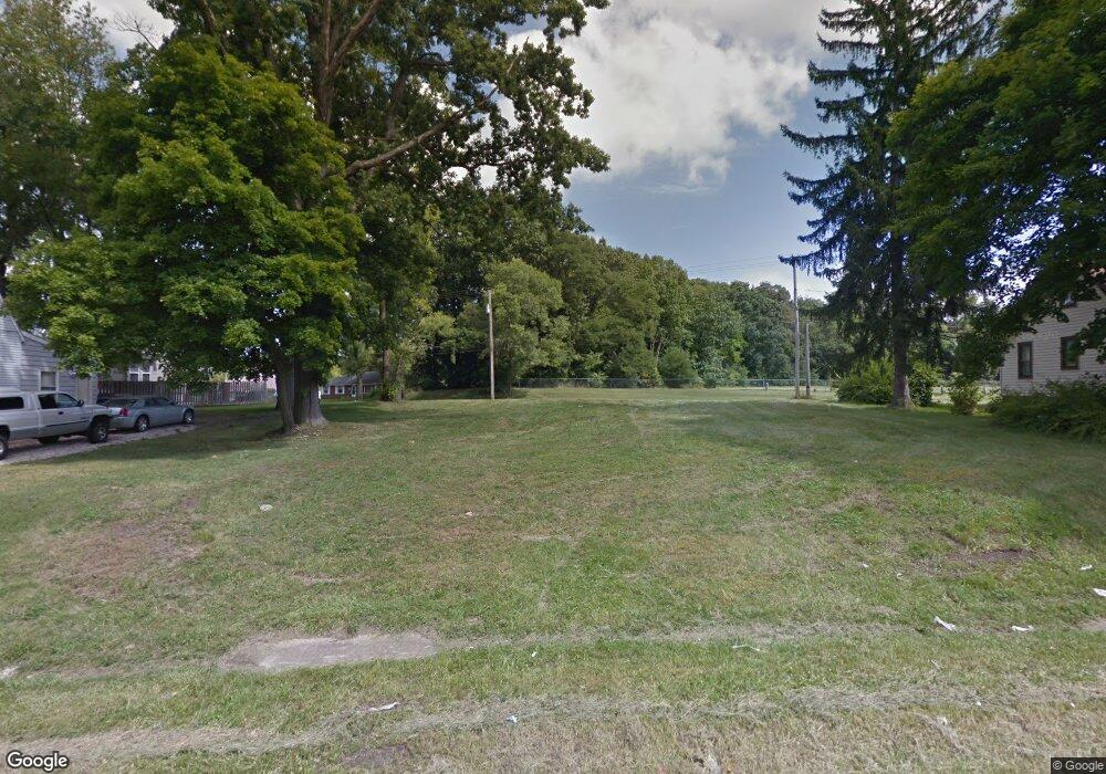
3647 Powers Way Youngstown, OH 44502
Buckeye Plat NeighborhoodEstimated Value: $59,000 - $70,000
--
Bed
1
Bath
--
Sq Ft
4,704
Sq Ft Lot
About This Home
This home is located at 3647 Powers Way, Youngstown, OH 44502 and is currently estimated at $64,500. 3647 Powers Way is a home located in Mahoning County with nearby schools including Paul C. Bunn Elementary School, Chaney High School, and Summit Academy Secondary School - Youngstown.
Ownership History
Date
Name
Owned For
Owner Type
Purchase Details
Closed on
Jul 20, 2015
Sold by
Masters Tony
Bought by
Mahoning County Land Reutilization Corpo
Current Estimated Value
Purchase Details
Closed on
Oct 24, 2003
Sold by
Investors Financial Intl Llc
Bought by
Ols Investments
Purchase Details
Closed on
Feb 6, 2003
Sold by
Boden David D
Bought by
Investors Financial Intl Llc
Purchase Details
Closed on
Oct 24, 2002
Sold by
Ocwen Federal Bank Fsb
Bought by
Boden David D
Purchase Details
Closed on
Jul 29, 2002
Sold by
Scarnecchia Robert A
Bought by
Ocwen Federal Bank Fsb
Purchase Details
Closed on
May 20, 2002
Sold by
Scarnecchia Robert A and Scarnecchia Debra L
Bought by
Ocwen Federal Bank Fsb and Greenwich Capital Financial Products Inc
Purchase Details
Closed on
Sep 10, 1993
Bought by
Awadallah Sulieman Tr
Create a Home Valuation Report for This Property
The Home Valuation Report is an in-depth analysis detailing your home's value as well as a comparison with similar homes in the area
Home Values in the Area
Average Home Value in this Area
Purchase History
| Date | Buyer | Sale Price | Title Company |
|---|---|---|---|
| Mahoning County Land Reutilization Corpo | $1,145 | Attorney | |
| Ols Investments | $5,000 | -- | |
| Investors Financial Intl Llc | $17,500 | -- | |
| Boden David D | -- | -- | |
| Ocwen Federal Bank Fsb | $18,200 | -- | |
| Ocwen Federal Bank Fsb | $18,200 | -- | |
| Awadallah Sulieman Tr | $1,500 | -- |
Source: Public Records
Tax History Compared to Growth
Tax History
| Year | Tax Paid | Tax Assessment Tax Assessment Total Assessment is a certain percentage of the fair market value that is determined by local assessors to be the total taxable value of land and additions on the property. | Land | Improvement |
|---|---|---|---|---|
| 2024 | -- | $300 | $300 | -- |
| 2022 | $0 | $380 | $380 | $0 |
| 2021 | $407 | $380 | $380 | $0 |
| 2020 | $407 | $380 | $380 | $0 |
| 2019 | $407 | $350 | $350 | $0 |
| 2018 | $0 | $350 | $350 | $0 |
| 2017 | $23 | $350 | $350 | $0 |
| 2016 | $23 | $350 | $350 | $0 |
| 2015 | $23 | $350 | $350 | $0 |
| 2014 | $23 | $350 | $350 | $0 |
| 2013 | $22 | $350 | $350 | $0 |
Source: Public Records
Map
Nearby Homes
- 2016 Pointview Ave
- 2007 E Midlothian Blvd
- 0 Crescent Dr Unit 5124984
- 3509 Lenox Ave
- 3448 Neilson Ave
- 1954 Everett Ave
- 2510 E Midlothian Blvd
- 3337 Powers Way
- 2562 Mount Vernon Ave
- 0 Weston Ave
- 1928 Medford Ave
- 2577 E Midlothian Blvd
- 2001 Brownlee Ave
- 1646 Weston Ave
- 2743 Mount Vernon Ave
- 3222 Sheridan Rd
- 1653 Brownlee Ave
- 1654 Wakefield Ave
- 3551 Shirley Rd
- 1633 Wakefield Ave
- 3637 Powers Way
- 3649 Powers Way
- 3630 Loveland Rd
- 3635 Powers Way
- 3628 Loveland Rd
- 3654 Powers Way
- 3631 Powers Way
- 3659 Powers Way
- 3652 Powers Way
- 3650 Powers Way
- 3656 Powers Way
- 3627 Powers Way
- 3658 Powers Way
- 3623 Powers Way
- 3632 Powers Way
- 3637 Loveland Rd
- 3619 Powers Way
- 3668 Powers Way
- 3643 Neilson Ave
- 3637 Neilson Ave