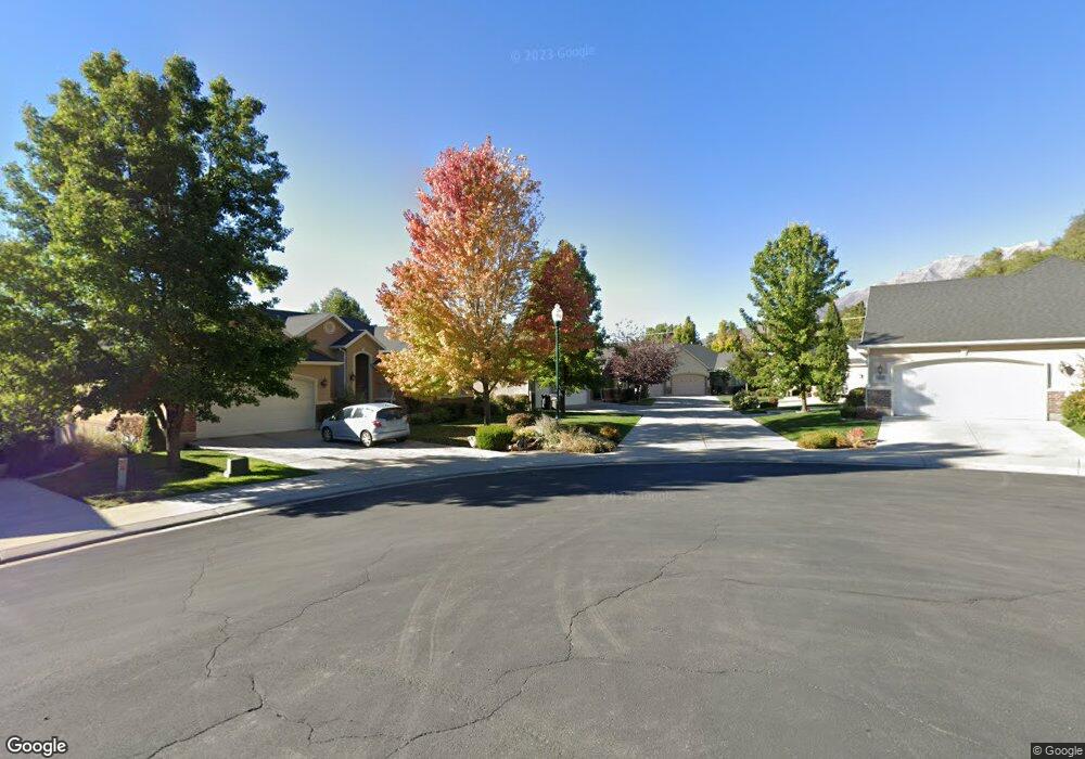
3651 N 290 E Provo, UT 84604
Rock Canyon NeighborhoodEstimated Value: $695,000 - $710,932
3
Beds
3
Baths
1,762
Sq Ft
$398/Sq Ft
Est. Value
About This Home
This home is located at 3651 N 290 E, Provo, UT 84604 and is currently estimated at $700,644, approximately $397 per square foot. 3651 N 290 E is a home located in Utah County with nearby schools including Edgemont School, Centennial Middle School, and Timpview High School.
Ownership History
Date
Name
Owned For
Owner Type
Purchase Details
Closed on
Apr 6, 2007
Sold by
Tapahe Eugene D and Tapahe Sharon J
Bought by
Tapahe Eugene D and Tapahe Sharon J
Current Estimated Value
Home Financials for this Owner
Home Financials are based on the most recent Mortgage that was taken out on this home.
Original Mortgage
$41,233
Outstanding Balance
$24,903
Interest Rate
6.13%
Mortgage Type
Stand Alone Second
Estimated Equity
$675,741
Purchase Details
Closed on
Jan 17, 2007
Sold by
Edgemont Vista Development Llc
Bought by
Tapahe Eugene D and Tapahe Sharon J
Home Financials for this Owner
Home Financials are based on the most recent Mortgage that was taken out on this home.
Original Mortgage
$371,097
Outstanding Balance
$220,282
Interest Rate
6.09%
Mortgage Type
Purchase Money Mortgage
Estimated Equity
$480,362
Create a Home Valuation Report for This Property
The Home Valuation Report is an in-depth analysis detailing your home's value as well as a comparison with similar homes in the area
Home Values in the Area
Average Home Value in this Area
Purchase History
| Date | Buyer | Sale Price | Title Company |
|---|---|---|---|
| Tapahe Eugene D | -- | Provo Land Title Company | |
| Tapahe Eugene D | -- | First American Title Agency |
Source: Public Records
Mortgage History
| Date | Status | Borrower | Loan Amount |
|---|---|---|---|
| Open | Tapahe Eugene D | $41,233 | |
| Open | Tapahe Eugene D | $371,097 |
Source: Public Records
Tax History
| Year | Tax Paid | Tax Assessment Tax Assessment Total Assessment is a certain percentage of the fair market value that is determined by local assessors to be the total taxable value of land and additions on the property. | Land | Improvement |
|---|---|---|---|---|
| 2025 | $3,420 | $351,065 | -- | -- |
| 2024 | $3,420 | $336,600 | $0 | $0 |
| 2023 | $3,291 | $319,330 | $0 | $0 |
| 2022 | $3,127 | $305,965 | $0 | $0 |
| 2021 | $2,401 | $409,700 | $162,000 | $247,700 |
| 2020 | $2,362 | $377,800 | $135,000 | $242,800 |
| 2019 | $2,209 | $367,600 | $135,000 | $232,600 |
| 2018 | $2,178 | $367,600 | $135,000 | $232,600 |
| 2017 | $2,092 | $193,930 | $0 | $0 |
| 2016 | $2,250 | $194,425 | $0 | $0 |
| 2015 | $2,046 | $178,750 | $0 | $0 |
| 2014 | $1,903 | $173,250 | $0 | $0 |
Source: Public Records
Map
Nearby Homes
- 3711 N Canyon Rd
- 5600 N Canyon Rd
- 407 E 3900 Rd N Unit 1
- 407 E 3900 Rd N
- 299 E 4000 N
- 3305 N Shadowbrook Cir
- 3221 Shadowbrook Cir
- 111 Candlewood Place
- 158 Woodside Dr
- 3240 Shadowbrook Dr
- 3025 N 250 E
- 3057 N 100 W
- 404 W 3700 N
- 3702 N 920 E
- 3013 N 100 W
- 2999 N Marrcrest West Dr
- 2939 N Marrcrest Dr W
- 758 E 3030 N
- 3129 Cherokee Ln
- 2774 N 370 E
Your Personal Tour Guide
Ask me questions while you tour the home.