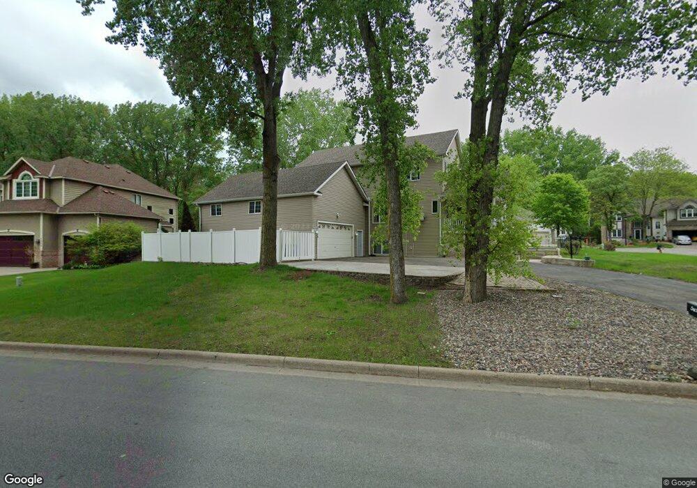
3656 Robin Ln Saint Paul, MN 55122
Estimated Value: $588,855 - $702,000
5
Beds
4
Baths
2,396
Sq Ft
$270/Sq Ft
Est. Value
About This Home
This home is located at 3656 Robin Ln, Saint Paul, MN 55122 and is currently estimated at $647,964, approximately $270 per square foot. 3656 Robin Ln is a home located in Dakota County with nearby schools including Burnsville High School, Becks Montessori, and Sunrise International Montessori School.
Ownership History
Date
Name
Owned For
Owner Type
Purchase Details
Closed on
Jun 17, 2025
Sold by
Tan Kevin Huong-Hum and Swee Tee
Bought by
Wlo Llc
Current Estimated Value
Home Financials for this Owner
Home Financials are based on the most recent Mortgage that was taken out on this home.
Original Mortgage
$413,000
Outstanding Balance
$411,929
Interest Rate
6.76%
Mortgage Type
New Conventional
Estimated Equity
$236,035
Create a Home Valuation Report for This Property
The Home Valuation Report is an in-depth analysis detailing your home's value as well as a comparison with similar homes in the area
Home Values in the Area
Average Home Value in this Area
Purchase History
| Date | Buyer | Sale Price | Title Company |
|---|---|---|---|
| Wlo Llc | $500 | Land Title |
Source: Public Records
Mortgage History
| Date | Status | Borrower | Loan Amount |
|---|---|---|---|
| Open | Wlo Llc | $413,000 |
Source: Public Records
Tax History Compared to Growth
Tax History
| Year | Tax Paid | Tax Assessment Tax Assessment Total Assessment is a certain percentage of the fair market value that is determined by local assessors to be the total taxable value of land and additions on the property. | Land | Improvement |
|---|---|---|---|---|
| 2024 | $5,224 | $535,300 | $148,100 | $387,200 |
| 2023 | $5,224 | $540,700 | $148,600 | $392,100 |
| 2022 | $4,674 | $538,500 | $148,200 | $390,300 |
| 2021 | $4,732 | $465,300 | $143,200 | $322,100 |
| 2020 | $4,950 | $442,600 | $136,300 | $306,300 |
| 2019 | $4,992 | $445,000 | $129,900 | $315,100 |
| 2018 | $5,184 | $429,300 | $123,700 | $305,600 |
| 2017 | $4,825 | $427,000 | $117,800 | $309,200 |
| 2016 | $4,940 | $396,200 | $112,200 | $284,000 |
| 2015 | $4,569 | $386,879 | $111,560 | $275,319 |
| 2014 | -- | $371,074 | $108,073 | $263,001 |
| 2013 | -- | $357,885 | $97,740 | $260,145 |
Source: Public Records
Map
Nearby Homes
- 1847 Deer Pond Cir
- 3654 Vermilion Ct N Unit 1307
- 3681 Robin Ln
- 1753 Bluebill Dr
- 3770 Robin Ln
- 1855 Silver Bell Rd Unit 314
- 1855 Silver Bell Rd Unit 120
- 1871 Silver Bell Rd Unit 217
- 1871 Silver Bell Rd Unit 317
- 1887 Silver Bell Rd Unit 103
- 1903 Silver Bell Rd Unit 203
- 1903 Silver Bell Rd Unit 314
- 1903 Silver Bell Rd Unit 219
- 3778 Grey Dove Ln
- 1730 Flamingo Dr
- 3847 Lodestone Cir
- 1769 Serpentine Dr
- 3883 Dolomite Dr
- 3895 Dolomite Dr
- 1651 Blackhawk Cove
- 3652 Robin Ln
- 3648 Robin Ln
- 3660 Robin Ln
- 1848 Deer Pond Cir
- 1844 Deer Pond Cir
- 3644 Robin Ln
- 3664 Robin Ln
- 3642 Vermilion Ct N
- 3628 Vermilion Ct N
- 3640 Vermilion Ct N
- 1836 Red Fox Rd
- 3715 Brown Bear Trail
- 3626 Vermilion Ct N
- 3626 Vermilion Ct N Unit 1409
- 3638 Vermilion Ct N Unit 1404
- 3668 Robin Ln
- 1840 Red Fox Rd
- 3636 Vermilion Ct N Unit 1403
- 3654 Vermilion Ct N
- 3624 Vermilion Ct N