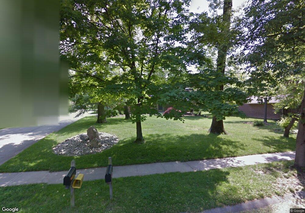
3657 Simpson Trace Maineville, OH 45039
Landen NeighborhoodEstimated Value: $382,000 - $426,000
4
Beds
3
Baths
2,144
Sq Ft
$188/Sq Ft
Est. Value
About This Home
This home is located at 3657 Simpson Trace, Maineville, OH 45039 and is currently estimated at $402,293, approximately $187 per square foot. 3657 Simpson Trace is a home located in Warren County with nearby schools including Kings Junior High School, Kings High School, and King Of Kings Lutheran Early Childhood Education.
Ownership History
Date
Name
Owned For
Owner Type
Purchase Details
Closed on
May 18, 1993
Sold by
Wersel Wm.J.,Jr. and Wersel Mary L
Bought by
Harkins and Harkins Maureen B
Current Estimated Value
Purchase Details
Closed on
May 13, 1987
Sold by
Burgess Greg M and Burgess Vanna
Bought by
Wersel and Wersel Wmj
Purchase Details
Closed on
Dec 7, 1984
Sold by
Hendrix Richard J and Hendrix Sha
Bought by
Burgess and Burgess Greg M
Purchase Details
Closed on
Oct 27, 1983
Sold by
Swindells Ronald G and Swindells Ro
Bought by
Hendrix and Hendrix Richard J
Purchase Details
Closed on
Oct 2, 1978
Sold by
Jonathan Group & Inc
Purchase Details
Closed on
Feb 14, 1978
Sold by
Landen Farm Co
Create a Home Valuation Report for This Property
The Home Valuation Report is an in-depth analysis detailing your home's value as well as a comparison with similar homes in the area
Home Values in the Area
Average Home Value in this Area
Purchase History
| Date | Buyer | Sale Price | Title Company |
|---|---|---|---|
| Harkins | $122,500 | -- | |
| Wersel | $104,500 | -- | |
| Burgess | $87,000 | -- | |
| Hendrix | $84,000 | -- | |
| -- | $79,600 | -- | |
| -- | $22,000 | -- |
Source: Public Records
Tax History
| Year | Tax Paid | Tax Assessment Tax Assessment Total Assessment is a certain percentage of the fair market value that is determined by local assessors to be the total taxable value of land and additions on the property. | Land | Improvement |
|---|---|---|---|---|
| 2025 | $5,189 | $99,480 | $26,250 | $73,230 |
| 2024 | $5,189 | $99,480 | $26,250 | $73,230 |
| 2023 | $4,519 | $77,805 | $12,915 | $64,890 |
| 2022 | $4,437 | $77,805 | $12,915 | $64,890 |
| 2021 | $3,717 | $77,805 | $12,915 | $64,890 |
| 2020 | $3,592 | $63,256 | $10,500 | $52,756 |
| 2019 | $3,636 | $63,256 | $10,500 | $52,756 |
| 2018 | $3,646 | $63,256 | $10,500 | $52,756 |
| 2017 | $3,538 | $54,761 | $9,244 | $45,518 |
| 2016 | $3,628 | $54,761 | $9,244 | $45,518 |
| 2015 | $3,082 | $54,761 | $9,244 | $45,518 |
| 2014 | $3,082 | $48,460 | $8,180 | $40,280 |
| 2013 | $3,086 | $62,210 | $10,500 | $51,710 |
Source: Public Records
Map
Nearby Homes
- 8839 Pollard Place
- 3541 Green Haven Way
- 3464 Simpson Trace
- 3833 Spring Mill Way
- 3940 Wagon Trail Rd
- 8409 Winding Trail Place
- 3184 Red Brick Ct
- 8225 Winding Trail Place
- 9626 Greenery Ct
- 9204 Yarmouth Dr Unit 9204
- 2956 Kingsley Ct
- 9279 Hickory Hill Ct
- 9547 Carriage Run Cir
- 3580 Twenty Mile Way Unit 3580
- 8846 Morley Place
- 9607 Old Village Dr
- 4036 Oak Tree Ct
- 8730 Exeter Place
- 8480 Island Pines Place
- 2831 Jessica Ct
- 3685 Simpson Trace
- 3651 Simpson Trace
- 3661 Simpson Trace
- 3689 Simpson Trace
- 3659 Simpson Trace
- 3660 Simpson Trace
- 3687 Simpson Trace
- 8780 Surrey Place
- 3639 Simpson Trace
- 3691 Simpson Trace
- 8777 Schoolhouse Place
- 3707 Simpson Trace
- 8875 Longbow Place
- 3629 Simpson Trace
- 3700 Simpson Trace
- 8766 Surrey Place
- 8863 Longbow Place
- 8765 Schoolhouse Place
- 3715 Simpson Trace
- 8755 Schoolhouse Place
Your Personal Tour Guide
Ask me questions while you tour the home.