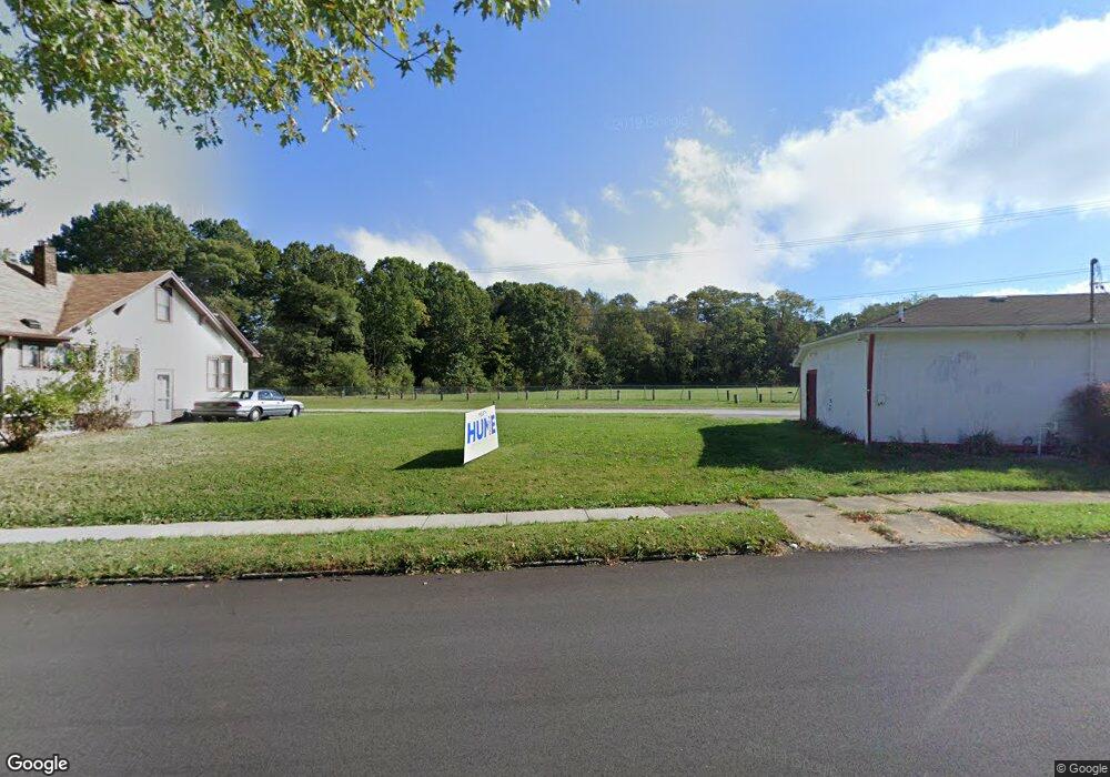
3659 Powers Way Youngstown, OH 44502
Buckeye Plat NeighborhoodEstimated Value: $85,000
--
Bed
1
Bath
--
Sq Ft
2,396
Sq Ft Lot
About This Home
This home is located at 3659 Powers Way, Youngstown, OH 44502 and is currently estimated at $85,000. 3659 Powers Way is a home located in Mahoning County with nearby schools including Paul C. Bunn Elementary School, Chaney High School, and Summit Academy Secondary School - Youngstown.
Ownership History
Date
Name
Owned For
Owner Type
Purchase Details
Closed on
Apr 14, 2023
Sold by
Jackson Priscilla
Bought by
Lil Indians Mobile Meals Llc
Current Estimated Value
Purchase Details
Closed on
Nov 24, 2014
Sold by
Jackson Priscilla
Bought by
Mahoning County Land Reutilization Corpo
Purchase Details
Closed on
Jun 1, 2012
Bought by
Mahoning County Land
Purchase Details
Closed on
Feb 5, 1999
Sold by
Fard Mohammed
Bought by
Alam Javed
Purchase Details
Closed on
Jul 11, 1996
Sold by
Gonda Sylvester J
Bought by
Fard Mohammad
Home Financials for this Owner
Home Financials are based on the most recent Mortgage that was taken out on this home.
Original Mortgage
$62,500
Interest Rate
8.09%
Mortgage Type
New Conventional
Purchase Details
Closed on
Feb 12, 1988
Bought by
Gonda Sylvester J
Create a Home Valuation Report for This Property
The Home Valuation Report is an in-depth analysis detailing your home's value as well as a comparison with similar homes in the area
Home Values in the Area
Average Home Value in this Area
Purchase History
| Date | Buyer | Sale Price | Title Company |
|---|---|---|---|
| Lil Indians Mobile Meals Llc | -- | None Listed On Document | |
| Mahoning County Land Reutilization Corpo | -- | Attorney | |
| Mahoning County Land | -- | -- | |
| Alam Javed | $17,000 | -- | |
| Fard Mohammad | $34,000 | -- | |
| Gonda Sylvester J | -- | -- |
Source: Public Records
Mortgage History
| Date | Status | Borrower | Loan Amount |
|---|---|---|---|
| Previous Owner | Fard Mohammad | $62,500 |
Source: Public Records
Tax History Compared to Growth
Tax History
| Year | Tax Paid | Tax Assessment Tax Assessment Total Assessment is a certain percentage of the fair market value that is determined by local assessors to be the total taxable value of land and additions on the property. | Land | Improvement |
|---|---|---|---|---|
| 2024 | $13 | $270 | $270 | -- |
| 2023 | $13 | $270 | $270 | $0 |
| 2022 | $21 | $340 | $340 | $0 |
| 2021 | $311 | $340 | $340 | $0 |
| 2020 | $311 | $340 | $340 | $0 |
| 2019 | $311 | $310 | $310 | $0 |
| 2018 | $0 | $310 | $310 | $0 |
| 2017 | $181 | $310 | $310 | $0 |
| 2016 | $181 | $310 | $310 | $0 |
| 2015 | $181 | $310 | $310 | $0 |
| 2014 | $181 | $2,810 | $610 | $2,200 |
| 2013 | $181 | $2,810 | $610 | $2,200 |
Source: Public Records
Map
Nearby Homes
- 2016 Pointview Ave
- 2007 E Midlothian Blvd
- 0 Crescent Dr Unit 5124984
- 3509 Lenox Ave
- 3448 Neilson Ave
- 1954 Everett Ave
- 2510 E Midlothian Blvd
- 3337 Powers Way
- 2562 Mount Vernon Ave
- 0 Weston Ave
- 1928 Medford Ave
- 2577 E Midlothian Blvd
- 2001 Brownlee Ave
- 1646 Weston Ave
- 2743 Mount Vernon Ave
- 3222 Sheridan Rd
- 1653 Brownlee Ave
- 1654 Wakefield Ave
- 3551 Shirley Rd
- 1633 Wakefield Ave
- 3649 Powers Way
- 3658 Powers Way
- 3654 Powers Way
- 3656 Powers Way
- 3668 Powers Way
- 3647 Powers Way
- 3672 Powers Way
- 3652 Powers Way
- 3676 Powers Way
- 3637 Powers Way
- 3650 Powers Way
- 3630 Loveland Rd
- 3661 Neilson Ave
- 3665 Neilson Ave
- 3635 Powers Way
- 3651 Neilson Ave
- 3673 Neilson Ave
- 3628 Loveland Rd
- 3643 Neilson Ave
- 3631 Powers Way