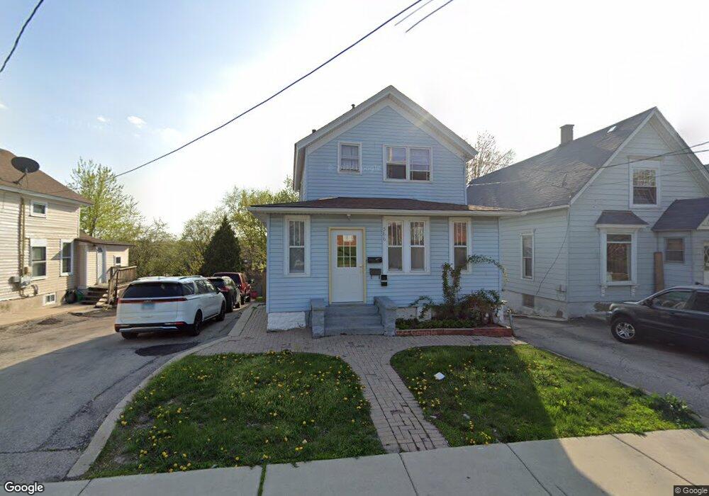
366 Raymond St Elgin, IL 60120
Elgin National Watch Historic District NeighborhoodEstimated Value: $234,000 - $289,457
4
Beds
6
Baths
1,278
Sq Ft
$200/Sq Ft
Est. Value
About This Home
This home is located at 366 Raymond St, Elgin, IL 60120 and is currently estimated at $255,114, approximately $199 per square foot. 366 Raymond St is a home located in Kane County with nearby schools including Channing Memorial Elementary School, Kenyon Woods Middle School, and South Elgin High School.
Ownership History
Date
Name
Owned For
Owner Type
Purchase Details
Closed on
Feb 27, 2004
Sold by
Rojo Andres
Bought by
Rojo Ismael and Rojo Andres
Current Estimated Value
Home Financials for this Owner
Home Financials are based on the most recent Mortgage that was taken out on this home.
Original Mortgage
$182,250
Interest Rate
5.74%
Mortgage Type
Stand Alone Refi Refinance Of Original Loan
Create a Home Valuation Report for This Property
The Home Valuation Report is an in-depth analysis detailing your home's value as well as a comparison with similar homes in the area
Home Values in the Area
Average Home Value in this Area
Purchase History
We collect this data history from publicly available records. To have your information removed, we recommend requesting removal directly through your county’s website.
| Date | Buyer | Sale Price | Title Company |
|---|---|---|---|
| Rojo Ismael | -- | Lawyers Title Ins |
Source: Public Records
Mortgage History
We collect this data history from publicly available records. To have your information removed, we recommend requesting removal directly through your county’s website.
| Date | Status | Borrower | Loan Amount |
|---|---|---|---|
| Closed | Rojo Ismael | $182,250 |
Source: Public Records
Tax History
| Year | Tax Paid | Tax Assessment Tax Assessment Total Assessment is a certain percentage of the fair market value that is determined by local assessors to be the total taxable value of land and additions on the property. | Land | Improvement |
|---|---|---|---|---|
| 2024 | $6,230 | $77,845 | $8,373 | $69,472 |
| 2023 | $5,995 | $70,327 | $7,564 | $62,763 |
| 2022 | $5,109 | $58,923 | $6,897 | $52,026 |
| 2021 | $4,915 | $55,089 | $6,448 | $48,641 |
| 2020 | $4,796 | $52,591 | $6,156 | $46,435 |
| 2019 | $4,679 | $50,096 | $5,864 | $44,232 |
| 2018 | $4,666 | $47,193 | $5,524 | $41,669 |
| 2017 | $4,589 | $44,614 | $5,222 | $39,392 |
| 2016 | $4,414 | $41,390 | $4,845 | $36,545 |
| 2015 | -- | $37,938 | $4,441 | $33,497 |
| 2014 | -- | $37,469 | $4,386 | $33,083 |
| 2013 | -- | $38,458 | $4,502 | $33,956 |
Source: Public Records
Map
Nearby Homes
- 286 Villa St
- 483 Barrett St
- 153 Dawson Dr
- 168 Villa St
- 311 Ryerson Ave
- 447 Ashland Ave
- 555 S Liberty St
- 147 River Walk Ct
- 515 Illinois Ave
- 141 S Grove Ave
- 700 Villa St
- 12 Rugby Place
- 513 Cookane Ave
- 17 S Liberty St
- 489 Division St
- 410 Standish St
- 131 N Gifford St
- 630 Forest Ave
- 208 Moseley St
- 515 Walnut Ave
- 362 Raymond St
- 372 Raymond St
- 360 Raymond St
- 264 Bartlett Place
- 358 Raymond St
- 378 Raymond St
- 269 Bartlett Place
- 265 Watch St
- 354 Raymond St
- 258 Bartlett Place
- 265 Bartlett Place
- 261 Watch St
- 384 Raymond St
- 263 Bartlett Place
- 363 Wellington Ave
- 252 Bartlett Place
- 361 Wellington Ave
- 259 Bartlett Place
- 379 Raymond St
- 253 Watch St
Your Personal Tour Guide
Ask me questions while you tour the home.