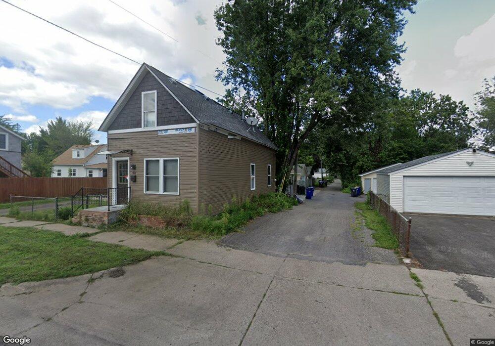
367 Blair Ave Saint Paul, MN 55103
Frogtown NeighborhoodEstimated Value: $188,000 - $216,000
2
Beds
1
Bath
806
Sq Ft
$245/Sq Ft
Est. Value
About This Home
This home is located at 367 Blair Ave, Saint Paul, MN 55103 and is currently estimated at $197,810, approximately $245 per square foot. 367 Blair Ave is a home located in Ramsey County with nearby schools including Jackson Elementary, Hidden River Middle School, and Central Senior High School.
Ownership History
Date
Name
Owned For
Owner Type
Purchase Details
Closed on
Mar 30, 2022
Sold by
Scotco Llc
Bought by
Stewart Charles
Current Estimated Value
Home Financials for this Owner
Home Financials are based on the most recent Mortgage that was taken out on this home.
Original Mortgage
$161,500
Outstanding Balance
$151,969
Interest Rate
4.42%
Mortgage Type
New Conventional
Estimated Equity
$45,841
Purchase Details
Closed on
Oct 21, 2021
Sold by
Alpha Capital Services Llc
Bought by
Scotco Llc
Purchase Details
Closed on
Apr 22, 2008
Sold by
Us Bank Na
Bought by
Macdonald Jason Douglas
Purchase Details
Closed on
Jul 11, 1996
Sold by
Anderson Donald W
Bought by
Ai Lor
Create a Home Valuation Report for This Property
The Home Valuation Report is an in-depth analysis detailing your home's value as well as a comparison with similar homes in the area
Home Values in the Area
Average Home Value in this Area
Purchase History
| Date | Buyer | Sale Price | Title Company |
|---|---|---|---|
| Stewart Charles | $170,000 | None Listed On Document | |
| Scotco Llc | $145,000 | Land Title | |
| Macdonald Jason Douglas | $20,100 | -- | |
| Ai Lor | $15,000 | -- |
Source: Public Records
Mortgage History
| Date | Status | Borrower | Loan Amount |
|---|---|---|---|
| Open | Stewart Charles | $161,500 | |
| Closed | Stewart Charles | $11,000 |
Source: Public Records
Tax History Compared to Growth
Tax History
| Year | Tax Paid | Tax Assessment Tax Assessment Total Assessment is a certain percentage of the fair market value that is determined by local assessors to be the total taxable value of land and additions on the property. | Land | Improvement |
|---|---|---|---|---|
| 2025 | $2,524 | $189,300 | $20,000 | $169,300 |
| 2024 | $2,524 | $179,900 | $20,000 | $159,900 |
| 2023 | $2,524 | $160,000 | $16,000 | $144,000 |
| 2022 | $1,736 | $143,400 | $16,000 | $127,400 |
| 2021 | $1,706 | $103,200 | $16,000 | $87,200 |
| 2020 | $1,712 | $85,500 | $7,400 | $78,100 |
| 2019 | $1,334 | $88,300 | $7,000 | $81,300 |
| 2018 | $1,044 | $65,100 | $7,000 | $58,100 |
| 2017 | $970 | $51,100 | $7,000 | $44,100 |
| 2016 | $876 | $0 | $0 | $0 |
| 2015 | $754 | $30,400 | $7,000 | $23,400 |
| 2014 | $712 | $0 | $0 | $0 |
Source: Public Records
Map
Nearby Homes
- 697 Virginia St
- 694 Virginia St
- 627 Virginia St
- 727 Virginia St
- 324 Van Buren Ave
- 601 Western Ave N
- 395 Thomas Ave
- 315 Blair Ave
- 597 Virginia St
- 313 Edmund Ave
- 465 Edmund Ave
- 511 Van Buren Ave
- 481 Edmund Ave
- 482 Edmund Ave
- 547 Blair Ave
- 371 Sherburne Ave
- 553 Blair Ave
- 429 Sherburne Ave
- 534 Thomas Ave
- 553 Charles Ave
- 670 Western Ave N
- 666 Western Ave N
- 676 Western Ave N
- 682 Western Ave N
- 665 Virginia St
- 684 Western Ave N
- 673 Virginia St
- 376 Blair Ave
- 681 Virginia St
- 681 Western Ave N
- 671 Western Ave N
- 691 Virginia St
- 673 Western Ave N
- 667 Western Ave N
- 687 Western Ave N
- 661 Western Ave N
- 648 Western Ave N
- 388 Van Buren Ave
- 659 Western Ave N
- 346 Blair Ave