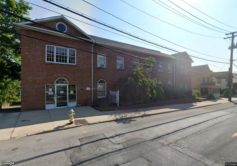
369 Ashford Ave Unit 2N Dobbs Ferry, NY 10522
Estimated Value: $2,241,735
--
Bed
--
Bath
1,120
Sq Ft
$2,002/Sq Ft
Est. Value
About This Home
This home is located at 369 Ashford Ave Unit 2N, Dobbs Ferry, NY 10522 and is currently estimated at $2,241,735, approximately $2,001 per square foot. 369 Ashford Ave Unit 2N is a home located in Westchester County with nearby schools including Concord Road Elementary School, Ardsley Middle School, and Ardsley High School.
Ownership History
Date
Name
Owned For
Owner Type
Purchase Details
Closed on
Jul 31, 2015
Sold by
Trapani Joseph and Trapani Emily
Bought by
Manhattan Shell Llc
Current Estimated Value
Purchase Details
Closed on
Sep 24, 2010
Sold by
Trapani Emily
Bought by
Trapps Development Corp
Create a Home Valuation Report for This Property
The Home Valuation Report is an in-depth analysis detailing your home's value as well as a comparison with similar homes in the area
Home Values in the Area
Average Home Value in this Area
Purchase History
| Date | Buyer | Sale Price | Title Company |
|---|---|---|---|
| Manhattan Shell Llc | $1,535,000 | Riverside Abstract Llc | |
| Trapps Development Corp | -- | Multiple |
Source: Public Records
Tax History Compared to Growth
Tax History
| Year | Tax Paid | Tax Assessment Tax Assessment Total Assessment is a certain percentage of the fair market value that is determined by local assessors to be the total taxable value of land and additions on the property. | Land | Improvement |
|---|---|---|---|---|
| 2024 | $48,911 | $1,557,400 | $560,600 | $996,800 |
| 2023 | $49,272 | $1,587,700 | $560,600 | $1,027,100 |
| 2022 | $52,664 | $1,587,700 | $560,600 | $1,027,100 |
| 2021 | $52,555 | $1,587,700 | $560,600 | $1,027,100 |
| 2020 | $51,624 | $1,544,300 | $507,500 | $1,036,800 |
| 2019 | $51,597 | $1,544,300 | $507,500 | $1,036,800 |
| 2018 | $63,005 | $1,544,300 | $507,500 | $1,036,800 |
| 2017 | $34,816 | $1,544,300 | $507,500 | $1,036,800 |
| 2016 | $80,404 | $1,544,300 | $507,500 | $1,036,800 |
| 2015 | -- | $75,000 | $12,500 | $62,500 |
| 2014 | -- | $75,000 | $12,500 | $62,500 |
| 2013 | -- | $90,250 | $12,500 | $77,750 |
Source: Public Records
Map
Nearby Homes
- 40 Northfield Ave
- 0 Ashford Ave Unit KEY885130
- 0 Lyman Place Unit KEY923539
- 1402 Hunters Run
- 801 Hunters Run
- 5 Forkland Ln
- 23 Bonaventure Ave
- 1001 Hunters Run
- 26 Round Hill Rd
- 9 Round Hill Rd
- 175 Northfield Ave
- 12 Shady Rd
- 17 Manor House Dr Unit K13
- 118 Round Hill Rd
- 14 Manor House Dr Unit G29
- 110 Round Hill Rd Unit 77
- 101 Beacon Hill Dr Unit 13
- 28 Lincoln Ave
- 0 Cyrus Field Rd Unit ONEH6318615
- 0 Springwood Ave
- 369 Ashford Ave
- 369 Ashford Ave Unit 2M
- 369 Ashford Ave Unit 2G
- 377 Ashford Ave
- 363 Ashford Ave
- 39 King St
- 45 King St
- 35 King St
- 383 Ashford Ave
- 383 Ashford Ave Unit RF
- 383 Ashford Ave
- 51 King St
- 357 Ashford Ave
- 357 Ashford Ave Unit 2
- 350 Ashford Ave
- 29 King St
- 385 Ashford Ave Unit 1
- 385 Ashford Ave Unit 2
- 385 Ashford Ave Unit 1West
- 385 Ashford Ave Unit 2 East (R)