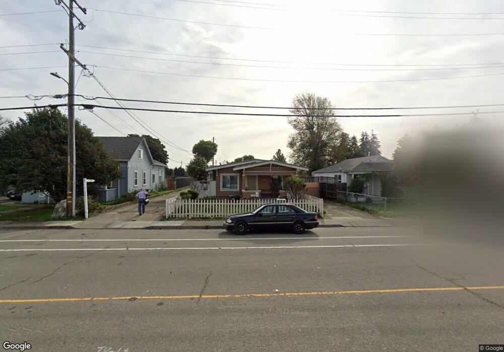
369 C St Hayward, CA 94541
Burbank NeighborhoodEstimated Value: $619,000 - $788,000
3
Beds
1
Bath
1,158
Sq Ft
$622/Sq Ft
Est. Value
About This Home
This home is located at 369 C St, Hayward, CA 94541 and is currently estimated at $720,600, approximately $622 per square foot. 369 C St is a home located in Alameda County with nearby schools including Burbank Elementary School, Winton Middle School, and Hayward High School.
Ownership History
Date
Name
Owned For
Owner Type
Purchase Details
Closed on
Aug 14, 2018
Sold by
Curtis Linda M and Curtis Linda Marie
Bought by
Curtis Linda Marie and The Linda Marie Curtis Revocab
Current Estimated Value
Purchase Details
Closed on
Oct 28, 1999
Sold by
Secretary Of Veterans Affairs
Bought by
Curtis Robert E and Curtis Linda M
Home Financials for this Owner
Home Financials are based on the most recent Mortgage that was taken out on this home.
Original Mortgage
$207,900
Outstanding Balance
$61,304
Interest Rate
7.75%
Mortgage Type
Seller Take Back
Estimated Equity
$659,296
Purchase Details
Closed on
Jan 29, 1999
Sold by
Huff David A and Huff Glenda E
Bought by
Old Kent Mtg Company
Purchase Details
Closed on
Oct 22, 1996
Sold by
Zendejas Tony L and Zendejas Sara G
Bought by
Huff David A and Huff Glenda E
Home Financials for this Owner
Home Financials are based on the most recent Mortgage that was taken out on this home.
Original Mortgage
$129,540
Interest Rate
8.3%
Mortgage Type
VA
Create a Home Valuation Report for This Property
The Home Valuation Report is an in-depth analysis detailing your home's value as well as a comparison with similar homes in the area
Home Values in the Area
Average Home Value in this Area
Purchase History
| Date | Buyer | Sale Price | Title Company |
|---|---|---|---|
| Curtis Linda Marie | -- | None Available | |
| Curtis Robert E | $189,090 | -- | |
| Old Kent Mtg Company | $122,219 | -- | |
| Huff David A | $129,500 | North American Title Co |
Source: Public Records
Mortgage History
| Date | Status | Borrower | Loan Amount |
|---|---|---|---|
| Open | Curtis Robert E | $207,900 | |
| Previous Owner | Huff David A | $129,540 |
Source: Public Records
Tax History
| Year | Tax Paid | Tax Assessment Tax Assessment Total Assessment is a certain percentage of the fair market value that is determined by local assessors to be the total taxable value of land and additions on the property. | Land | Improvement |
|---|---|---|---|---|
| 2025 | $4,131 | $323,430 | $99,897 | $230,533 |
| 2024 | $4,131 | $316,953 | $97,939 | $226,014 |
| 2023 | $4,070 | $317,602 | $96,019 | $221,583 |
| 2022 | $3,992 | $304,375 | $94,136 | $217,239 |
| 2021 | $3,958 | $298,271 | $92,291 | $212,980 |
| 2020 | $3,915 | $302,143 | $91,345 | $210,798 |
| 2019 | $3,944 | $296,220 | $89,555 | $206,665 |
| 2018 | $3,709 | $290,413 | $87,799 | $202,614 |
| 2017 | $3,625 | $284,720 | $86,078 | $198,642 |
| 2016 | $3,409 | $279,138 | $84,390 | $194,748 |
| 2015 | $3,342 | $274,946 | $83,123 | $191,823 |
| 2014 | $3,179 | $269,560 | $81,495 | $188,065 |
Source: Public Records
Map
Nearby Homes
- 204 Sullivan Way
- 589 Staley Ave
- 22964 Alice St
- 622 Moss Way
- 537 Dean St
- 568 Dean St
- 22575 Amador St
- 257 Poplar Ave
- 710 City Walk Place Unit 3
- 710 City Walk Place Unit 4
- 22876 Charing St
- 728 City Walk Place Unit 4
- 742 B St
- 22894 Kingsford Way
- 22716 Atherton St Unit 30
- 24023 Edloe Dr
- 188 Sunset Blvd
- 22836 Watkins St
- 22168 Peralta St
- 22133 Peralta St
Your Personal Tour Guide
Ask me questions while you tour the home.