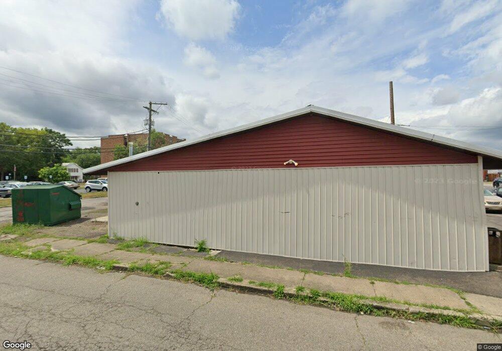
369 E Main St Newark, OH 43055
Estimated Value: $167,124
Studio
--
Bath
1,036
Sq Ft
$161/Sq Ft
Est. Value
About This Home
This home is located at 369 E Main St, Newark, OH 43055 and is currently estimated at $167,124, approximately $161 per square foot. 369 E Main St is a home located in Licking County with nearby schools including Ben Franklin Elementary School, Heritage Middle School, and Newark High School.
Ownership History
Date
Name
Owned For
Owner Type
Purchase Details
Closed on
May 25, 2023
Sold by
Paxson Terrian L
Bought by
369 Main Llc
Current Estimated Value
Purchase Details
Closed on
Nov 17, 1998
Sold by
Propertie M and Mitchell Propertie M
Bought by
Paxson Terrian L and Colburn Diana P
Home Financials for this Owner
Home Financials are based on the most recent Mortgage that was taken out on this home.
Original Mortgage
$60,000
Interest Rate
6.68%
Mortgage Type
Commercial
Create a Home Valuation Report for This Property
The Home Valuation Report is an in-depth analysis detailing your home's value as well as a comparison with similar homes in the area
Home Values in the Area
Average Home Value in this Area
Purchase History
| Date | Buyer | Sale Price | Title Company |
|---|---|---|---|
| 369 Main Llc | -- | None Listed On Document | |
| Paxson Terrian L | $66,780 | -- |
Source: Public Records
Mortgage History
| Date | Status | Borrower | Loan Amount |
|---|---|---|---|
| Previous Owner | Paxson Terrian L | $60,000 |
Source: Public Records
Tax History
| Year | Tax Paid | Tax Assessment Tax Assessment Total Assessment is a certain percentage of the fair market value that is determined by local assessors to be the total taxable value of land and additions on the property. | Land | Improvement |
|---|---|---|---|---|
| 2024 | $1,403 | $34,020 | $8,750 | $25,270 |
| 2023 | $1,400 | $34,020 | $8,750 | $25,270 |
| 2022 | $1,084 | $22,750 | $7,630 | $15,120 |
| 2021 | $1,142 | $22,750 | $7,630 | $15,120 |
| 2020 | $1,163 | $22,750 | $7,630 | $15,120 |
| 2019 | $1,163 | $22,750 | $7,630 | $15,120 |
| 2018 | $1,173 | $0 | $0 | $0 |
| 2017 | $1,285 | $0 | $0 | $0 |
| 2016 | $1,418 | $0 | $0 | $0 |
| 2015 | $1,452 | $0 | $0 | $0 |
| 2014 | $1,666 | $0 | $0 | $0 |
| 2013 | $1,397 | $0 | $0 | $0 |
Source: Public Records
Map
Nearby Homes
- 350 E Main St
- 378 E Main St
- 375 Eastern Ave
- 377 Eastern Ave
- 398 Eastern Ave
- 381 Eastern Ave
- 400 Eastern Ave
- 387 Eastern Ave
- 402 Eastern Ave
- 349 Eastern Ave
- 404 Eastern Ave
- 343 Eastern Ave
- 397 Eastern Ave
- 408 Eastern Ave
- 337 Eastern Ave
- 399 Eastern Ave
- 30 N Cedar St
- 356 Washington St
- 383 Tuscarawas St
- 333 Eastern Ave
Your Personal Tour Guide
Ask me questions while you tour the home.