369 Gove Rd Acworth, NH 03601
Estimated Value: $198,000 - $495,000
3
Beds
1
Bath
1,380
Sq Ft
$229/Sq Ft
Est. Value
About This Home
This home is located at 369 Gove Rd, Acworth, NH 03601 and is currently estimated at $315,489, approximately $228 per square foot. 369 Gove Rd is a home with nearby schools including Vilas Elementary School and Fall Mountain Regional High School.
Ownership History
Date
Name
Owned For
Owner Type
Purchase Details
Closed on
Nov 4, 2022
Sold by
Pamplin Lt and Pamplin
Bought by
Bernaiche Richard and Bernaiche Kelly
Current Estimated Value
Home Financials for this Owner
Home Financials are based on the most recent Mortgage that was taken out on this home.
Original Mortgage
$157,500
Outstanding Balance
$152,108
Interest Rate
6.92%
Mortgage Type
Purchase Money Mortgage
Estimated Equity
$163,381
Purchase Details
Closed on
Nov 6, 2001
Sold by
Laware Helena B Est
Bought by
Bill Sherry L
Home Financials for this Owner
Home Financials are based on the most recent Mortgage that was taken out on this home.
Original Mortgage
$73,365
Interest Rate
6.82%
Mortgage Type
Purchase Money Mortgage
Create a Home Valuation Report for This Property
The Home Valuation Report is an in-depth analysis detailing your home's value as well as a comparison with similar homes in the area
Home Values in the Area
Average Home Value in this Area
Purchase History
| Date | Buyer | Sale Price | Title Company |
|---|---|---|---|
| Bernaiche Richard | $175,000 | None Available | |
| Bernaiche Richard | $175,000 | None Available | |
| Bill Sherry L | $100,000 | -- |
Source: Public Records
Mortgage History
| Date | Status | Borrower | Loan Amount |
|---|---|---|---|
| Open | Bernaiche Richard | $157,500 | |
| Closed | Bernaiche Richard | $157,500 | |
| Previous Owner | Bill Sherry L | $73,365 |
Source: Public Records
Tax History Compared to Growth
Tax History
| Year | Tax Paid | Tax Assessment Tax Assessment Total Assessment is a certain percentage of the fair market value that is determined by local assessors to be the total taxable value of land and additions on the property. | Land | Improvement |
|---|---|---|---|---|
| 2022 | $5,260 | $203,780 | $60,180 | $143,600 |
| 2021 | $4,673 | $203,780 | $60,180 | $143,600 |
| 2018 | $2,435 | $160,340 | $56,140 | $104,200 |
| 2017 | $2,193 | $160,160 | $55,960 | $104,200 |
| 2012 | $3,456 | $159,540 | $58,540 | $101,000 |
Source: Public Records
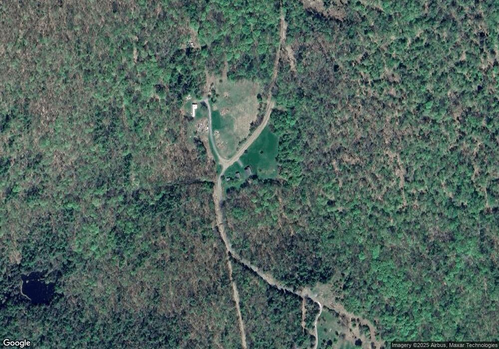
Map
Nearby Homes
- 94 Cold Pond Rd
- 1076 Nh Route 123a
- 563 Holden Hill Rd
- 315 Gove Rd
- 0 Allen Rd
- 219 Crescent Lake Rd
- 237 Halls Pond Rd
- 0 N Hemlock Rd Unit 1
- 0 Acworth Rd Unit 87 5034745
- 0 Saints Way Unit 24.5
- 00 Stage Rd Unit 440
- 281 Connecticut Heights Rd
- 144 Keyes Hollow Rd
- 189 S Hedgehog Hill Rd
- 004 W Unity Rd
- 003 W Unity Rd
- 02 W Unity Rd
- 16 Vilas Rd
- 23 Potato Hill Rd
- 63 David Ave
- 9 Gove Rd
- 160 Charlestown Rd
- 114 Charlestown Rd
- 72 Charlestown Rd
- lot 14 Black Rd N
- 2 Charlestown Rd
- 189 Charlestown Rd
- 0 Old Stage Rd
- 0 Bull Rd Unit 2 4848006
- 19 Breezy Point Rd
- 200 Charlestown Rd
- L/O Vinton Rd
- 105 Charlestown Rd
- 46 Charlestown Rd
- 73 Charlestown Rd
- 16 Old Stage Rd
- 37 Charlestown Rd
- 30 Charlestown Rd
- 228 Charlestown Rd
- 12 Stage Rd