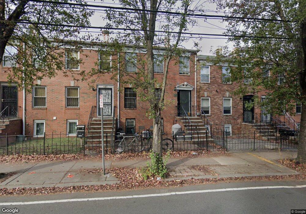
369 Monmouth St Unit 1 Jersey City, NJ 07302
Downtown Jersey City NeighborhoodEstimated Value: $985,000 - $1,648,947
3
Beds
3
Baths
1,700
Sq Ft
$768/Sq Ft
Est. Value
About This Home
This home is located at 369 Monmouth St Unit 1, Jersey City, NJ 07302 and is currently estimated at $1,306,237, approximately $768 per square foot. 369 Monmouth St Unit 1 is a home located in Hudson County with nearby schools including Dr. Michael Conti School, James J. Ferris High School, and Dr Ronald McNair High School.
Ownership History
Date
Name
Owned For
Owner Type
Purchase Details
Closed on
Jun 21, 2011
Sold by
Williams Noel H and Williams Daniels
Bought by
Singh Brar Varinder
Current Estimated Value
Home Financials for this Owner
Home Financials are based on the most recent Mortgage that was taken out on this home.
Original Mortgage
$416,000
Outstanding Balance
$286,378
Interest Rate
4.6%
Mortgage Type
Purchase Money Mortgage
Estimated Equity
$1,019,859
Purchase Details
Closed on
Jan 17, 2006
Sold by
Sheppard James
Bought by
Williams Noel H and Williams Jeanette M Daniels
Home Financials for this Owner
Home Financials are based on the most recent Mortgage that was taken out on this home.
Original Mortgage
$97,500
Interest Rate
6.31%
Mortgage Type
Credit Line Revolving
Create a Home Valuation Report for This Property
The Home Valuation Report is an in-depth analysis detailing your home's value as well as a comparison with similar homes in the area
Home Values in the Area
Average Home Value in this Area
Purchase History
| Date | Buyer | Sale Price | Title Company |
|---|---|---|---|
| Singh Brar Varinder | $520,000 | -- | |
| Williams Noel H | $650,000 | None Available |
Source: Public Records
Mortgage History
| Date | Status | Borrower | Loan Amount |
|---|---|---|---|
| Open | Singh Brar Varinder | $416,000 | |
| Previous Owner | Williams Noel H | $97,500 |
Source: Public Records
Tax History Compared to Growth
Tax History
| Year | Tax Paid | Tax Assessment Tax Assessment Total Assessment is a certain percentage of the fair market value that is determined by local assessors to be the total taxable value of land and additions on the property. | Land | Improvement |
|---|---|---|---|---|
| 2025 | $21,515 | $963,500 | $649,800 | $313,700 |
| 2024 | $21,650 | $963,500 | $649,800 | $313,700 |
| 2023 | $21,650 | $963,500 | $649,800 | $313,700 |
| 2022 | $20,407 | $963,500 | $649,800 | $313,700 |
| 2021 | $15,455 | $963,500 | $649,800 | $313,700 |
| 2020 | $15,512 | $963,500 | $649,800 | $313,700 |
| 2019 | $14,838 | $963,500 | $649,800 | $313,700 |
| 2018 | $2,228 | $963,500 | $649,800 | $313,700 |
| 2017 | $11,677 | $149,700 | $7,500 | $142,200 |
| 2016 | $11,528 | $149,700 | $7,500 | $142,200 |
| 2015 | $11,201 | $149,700 | $7,500 | $142,200 |
| 2014 | $11,129 | $149,700 | $7,500 | $142,200 |
Source: Public Records
Map
Nearby Homes
- 341 Monmouth St Unit 203D
- 341 Monmouth St Unit 104D
- 186 Wayne St Unit 214D
- 186 Wayne St Unit 118D
- 385 1st St
- 187 Wayne St Unit C405
- 187 Wayne St Unit 115C
- 187 Wayne St Unit 311
- 187 Wayne St Unit 207C
- 187 Wayne St Unit 107C
- 187 Wayne St Unit 205C
- 227 Christopher Columbus Dr Unit 307B
- 227 Christopher Columbus Dr Unit 119B
- 227 Christopher Columbus Dr Unit B-234
- 390 1st St Unit 3
- 391 1st St Unit 2-B
- 391 1st St Unit 3-B
- 391 1st St Unit 2-D
- 391 1st St Unit 4-C
- 394 1st St
- 369 Monmouth St
- 367 Monmouth St
- 371 Monmouth St
- 371 Monmouth St Unit 1
- 371 Monmouth St Unit 2
- 365 Monmouth St
- 373 Monmouth St
- 343 1st St
- 343 1st St Unit 1
- 363 Monmouth St
- 345 1st St
- 361 Monmouth St Unit 1st floor
- 347 1st St
- 349 1st St
- 349 1st St
- 349 1st St Unit 1
- 364 Monmouth St
- 364 Monmouth St Unit Grdn
- 351 1st St
- 351 1st St Unit B