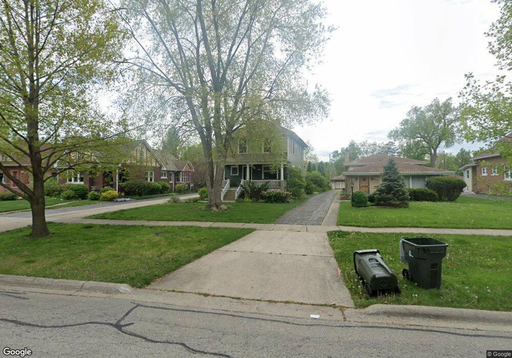
369 Olmsted Rd Riverside, IL 60546
Estimated Value: $450,000 - $689,000
4
Beds
3
Baths
2,367
Sq Ft
$261/Sq Ft
Est. Value
About This Home
This home is located at 369 Olmsted Rd, Riverside, IL 60546 and is currently estimated at $618,827, approximately $261 per square foot. 369 Olmsted Rd is a home located in Cook County with nearby schools including Central Elementary School, L J Hauser Jr High School, and Riverside Brookfield High School.
Ownership History
Date
Name
Owned For
Owner Type
Purchase Details
Closed on
Jul 29, 2024
Sold by
Cuplinskas Vytas E and Cuplinskas Asta K
Bought by
Cuplinskas Revocable Living Trust and Cuplinskas
Current Estimated Value
Create a Home Valuation Report for This Property
The Home Valuation Report is an in-depth analysis detailing your home's value as well as a comparison with similar homes in the area
Home Values in the Area
Average Home Value in this Area
Purchase History
| Date | Buyer | Sale Price | Title Company |
|---|---|---|---|
| Cuplinskas Revocable Living Trust | -- | None Listed On Document |
Source: Public Records
Tax History
| Year | Tax Paid | Tax Assessment Tax Assessment Total Assessment is a certain percentage of the fair market value that is determined by local assessors to be the total taxable value of land and additions on the property. | Land | Improvement |
|---|---|---|---|---|
| 2025 | $17,494 | $51,431 | $12,470 | $38,961 |
| 2024 | $17,494 | $51,431 | $12,470 | $38,961 |
| 2023 | $15,417 | $58,000 | $12,470 | $45,530 |
| 2022 | $15,417 | $43,670 | $10,911 | $32,759 |
| 2021 | $14,847 | $43,670 | $10,911 | $32,759 |
| 2020 | $15,209 | $45,824 | $10,911 | $34,913 |
| 2019 | $12,893 | $40,061 | $9,976 | $30,085 |
| 2018 | $13,216 | $42,120 | $9,976 | $32,144 |
| 2017 | $14,260 | $46,516 | $9,976 | $36,540 |
| 2016 | $12,273 | $37,346 | $8,729 | $28,617 |
| 2015 | $11,948 | $37,346 | $8,729 | $28,617 |
| 2014 | $12,580 | $39,765 | $8,729 | $31,036 |
| 2013 | $11,761 | $40,328 | $8,729 | $31,599 |
Source: Public Records
Map
Nearby Homes
- 280 Blackhawk Rd
- 7048 35th St
- 262 Lionel Rd
- 7336 39th St
- 7330 39th St
- 3829 Wisconsin Ave
- 3723 Home Ave
- 7335 Oakwood Ave Unit P-10
- 7335 Oakwood Ave Unit P-12
- 7335 Oakwood Ave Unit P-8
- 7335 Oakwood Ave Unit P-11
- 7335 Oakwood Ave Unit P-14
- 3548 Clinton Ave
- 176 Riverside Rd
- 3742 Clinton Ave
- 7316 40th St Unit 2E
- 7316 40th St Unit P-9
- 7316 40th St Unit P-10
- 7316 40th St Unit P-13
- 3900 Home Ave
- 365 Olmsted Rd
- 373 Olmsted Rd
- 361 Olmsted Rd
- 379 Olmsted Rd
- 381 Olmsted Rd
- 353 Olmsted Rd
- 385 Olmsted Rd
- 380 Blackhawk Rd
- 384 Blackhawk Rd
- 376 Blackhawk Rd
- 139 S Delaplaine Rd
- 372 Blackhawk Rd
- 392 Blackhawk Rd
- 143 S Delaplaine Rd
- 368 Blackhawk Rd
- 345 Olmsted Rd
- 398 Blackhawk Rd
- 374 Olmsted Rd
- 147 S Delaplaine Rd
- 389 Olmsted Rd
Your Personal Tour Guide
Ask me questions while you tour the home.