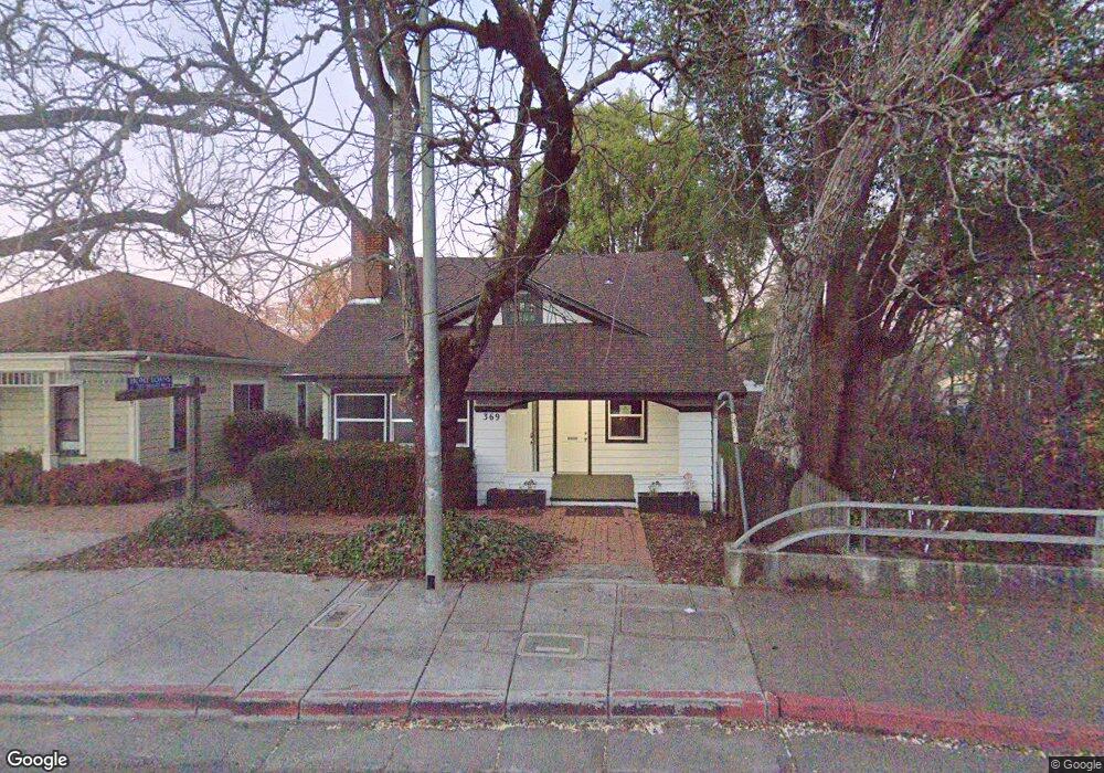
369 S Main St Willits, CA 95490
Estimated Value: $278,038
Studio
--
Bath
1,656
Sq Ft
$168/Sq Ft
Est. Value
About This Home
This home is located at 369 S Main St, Willits, CA 95490 and is currently estimated at $278,038, approximately $167 per square foot. 369 S Main St is a home located in Mendocino County with nearby schools including Brookside Elementary School, Blosser Lane Elementary School, and Baechtel Grove Middle School.
Ownership History
Date
Name
Owned For
Owner Type
Purchase Details
Closed on
Sep 3, 2020
Sold by
Kelsey Family 2011 Trust and Kelsey Lloyd Michael
Bought by
Mirabelli Joseph and Mirabelli Debbie L
Current Estimated Value
Purchase Details
Closed on
Apr 7, 2011
Sold by
Kelsey Lloyd M and Kelsey Carol L
Bought by
Kelsey Lloyd Michael and Kelsey Carol Lynne
Create a Home Valuation Report for This Property
The Home Valuation Report is an in-depth analysis detailing your home's value as well as a comparison with similar homes in the area
Home Values in the Area
Average Home Value in this Area
Purchase History
| Date | Buyer | Sale Price | Title Company |
|---|---|---|---|
| Mirabelli Joseph | $215,000 | Redwood Empire Title | |
| Kelsey Lloyd Michael | -- | None Available |
Source: Public Records
Tax History
| Year | Tax Paid | Tax Assessment Tax Assessment Total Assessment is a certain percentage of the fair market value that is determined by local assessors to be the total taxable value of land and additions on the property. | Land | Improvement |
|---|---|---|---|---|
| 2025 | $3,972 | $232,721 | $86,593 | $146,128 |
| 2023 | $1,881 | $42,460 | $13,082 | $29,378 |
| 2022 | $1,731 | $41,628 | $12,826 | $28,802 |
| 2021 | $1,727 | $40,813 | $12,575 | $28,238 |
| 2020 | $1,715 | $40,439 | $12,465 | $27,974 |
| 2019 | $1,715 | $39,647 | $12,221 | $27,426 |
| 2018 | $1,501 | $38,869 | $11,981 | $26,888 |
| 2017 | $1,437 | $38,107 | $11,746 | $26,361 |
| 2016 | $1,382 | $37,360 | $11,516 | $25,844 |
| 2015 | $1,375 | $36,799 | $11,343 | $25,456 |
| 2014 | $1,369 | $36,079 | $11,121 | $24,958 |
Source: Public Records
Map
Nearby Homes
- 316 S Main St
- 308 Coast St
- 0 Catherine Ln
- 372 S Lenore Ave
- 84 School St
- 350 Creekside Dr
- 1051 S Main St
- 0 Poplar Ave Unit 324037613
- 1242 Poplar Ave
- 454 Della Ave
- 490 Della Ave
- 25331 Sherwood Rd
- 25201 Sherwood Rd
- 1407 Brothers Ln
- 21441 Pineview Dr
- 1581 S Main St
- 26400 Sherwood Rd
- 1750 S Main St Unit 37
- 1700 California 20
- 252 Margie Dr
- 361 S Main St
- 99 California St
- 349 S Main St
- 383 S Main St
- 383 S Main St
- 390 S Main St
- 155 California St
- 340 S Main St
- 140 California St
- 414 S Main St
- 160 California St
- 337 Mckinley St
- 25 E San Francisco Ave
- 180 California St
- 357 Mckinley St
- 123 E Valley St
- 121 E Valley St
- 149 E Valley St
- 115 E Valley St
- 389 Penn St
Your Personal Tour Guide
Ask me questions while you tour the home.