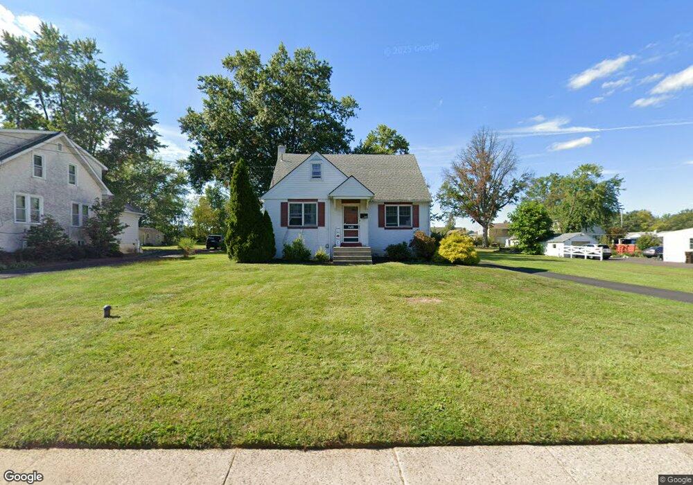
369 W Vine St Hatfield, PA 19440
Estimated Value: $355,000 - $520,000
4
Beds
2
Baths
2,009
Sq Ft
$227/Sq Ft
Est. Value
About This Home
This home is located at 369 W Vine St, Hatfield, PA 19440 and is currently estimated at $455,245, approximately $226 per square foot. 369 W Vine St is a home located in Montgomery County with nearby schools including Oak Park El School, Pennfield Middle School, and North Penn Senior High School.
Ownership History
Date
Name
Owned For
Owner Type
Purchase Details
Closed on
May 28, 2021
Sold by
Kratz Esther C
Bought by
Finlayson Mary K and Keller Jacob L
Current Estimated Value
Home Financials for this Owner
Home Financials are based on the most recent Mortgage that was taken out on this home.
Original Mortgage
$250,000
Interest Rate
2.9%
Mortgage Type
New Conventional
Purchase Details
Closed on
Jul 8, 1950
Bought by
Kratz Sylvanus and Kratz Esther C
Create a Home Valuation Report for This Property
The Home Valuation Report is an in-depth analysis detailing your home's value as well as a comparison with similar homes in the area
Home Values in the Area
Average Home Value in this Area
Purchase History
| Date | Buyer | Sale Price | Title Company |
|---|---|---|---|
| Finlayson Mary K | $142,500 | None Available | |
| Kratz Sylvanus | -- | -- |
Source: Public Records
Mortgage History
| Date | Status | Borrower | Loan Amount |
|---|---|---|---|
| Previous Owner | Finlayson Mary K | $250,000 |
Source: Public Records
Tax History Compared to Growth
Tax History
| Year | Tax Paid | Tax Assessment Tax Assessment Total Assessment is a certain percentage of the fair market value that is determined by local assessors to be the total taxable value of land and additions on the property. | Land | Improvement |
|---|---|---|---|---|
| 2025 | $5,438 | $142,860 | $55,230 | $87,630 |
| 2024 | $5,438 | $142,860 | $55,230 | $87,630 |
| 2023 | $5,192 | $142,860 | $55,230 | $87,630 |
| 2022 | $5,014 | $142,860 | $55,230 | $87,630 |
| 2021 | $4,721 | $142,860 | $55,230 | $87,630 |
| 2020 | $4,564 | $142,860 | $55,230 | $87,630 |
| 2019 | $4,480 | $142,860 | $55,230 | $87,630 |
| 2018 | $836 | $142,860 | $55,230 | $87,630 |
| 2017 | $4,291 | $142,860 | $55,230 | $87,630 |
| 2016 | $4,236 | $142,860 | $55,230 | $87,630 |
| 2015 | $3,905 | $142,860 | $55,230 | $87,630 |
| 2014 | $3,905 | $142,860 | $55,230 | $87,630 |
Source: Public Records
Map
Nearby Homes
- 480 Bentwood Dr
- 109 Hickory Dr
- 113 Hickory Dr
- 302 W Broad St
- 1744 Lydia Dr
- 24 S Wayne Ave
- 105 S Main St
- 1306 W Orvilla Rd
- 2634 Jean Dr
- 142 Orchard Ln
- 3 Diamond St
- 2801 Denbeigh Dr
- 1226 Cabin Rd
- 1095 Owen Ln
- 138 Diamond St Unit 31
- 1315 Deer Run Rd
- 36 N Maple Ave
- 1520 Fairgrounds Rd
- 1165 Mason Rd
- 2821 N Ford Dr
- 355 W Vine St
- 375 W Vine St
- 345 W Vine St Unit 38
- 364 W Vine St
- 383 W Vine St
- 348 W Vine St
- 366 W Vine St
- 382 W Vine St
- 462 Bentwood Dr
- 335 W Vine St
- 342 W Vine St
- 487 Bentwood Dr
- 390 W Vine St
- 330 W Vine St
- 346 W Vine St Unit 60
- 400 Bentwood Dr
- 477 Bentwood Dr
- 398 W Vine St
- 321 W Vine St
- 328 W Vine St