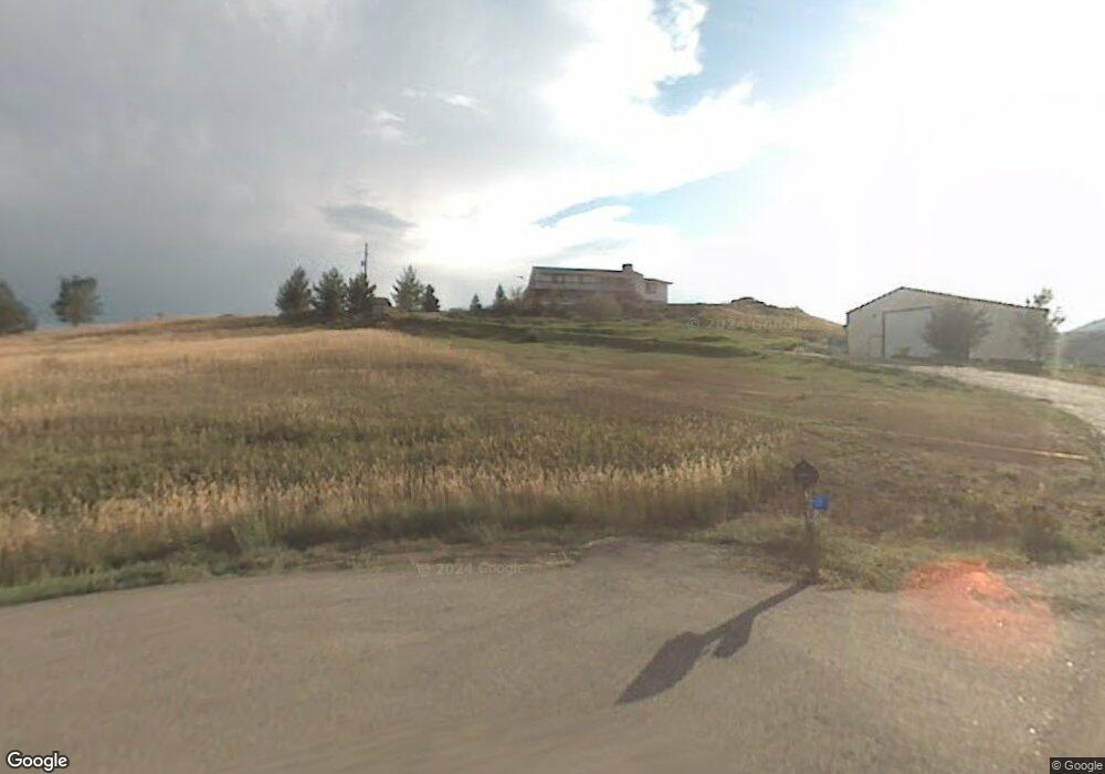
3699 Arapahoe Dr Fort Collins, CO 80521
Estimated Value: $959,404 - $1,133,000
4
Beds
3
Baths
2,718
Sq Ft
$378/Sq Ft
Est. Value
About This Home
This home is located at 3699 Arapahoe Dr, Fort Collins, CO 80521 and is currently estimated at $1,026,601, approximately $377 per square foot. 3699 Arapahoe Dr is a home located in Larimer County with nearby schools including Cache La Poudre Elementary School, Cache La Poudre Middle School, and Poudre High School.
Ownership History
Date
Name
Owned For
Owner Type
Purchase Details
Closed on
Dec 15, 1998
Sold by
Bean Blake J and Bean Cynthia M
Bought by
Bean Blake J and Bean Cynthia M
Current Estimated Value
Purchase Details
Closed on
Nov 29, 1996
Sold by
Bryant Dee A
Bought by
Bean Blake J and Bean Cynthia M
Home Financials for this Owner
Home Financials are based on the most recent Mortgage that was taken out on this home.
Original Mortgage
$214,400
Outstanding Balance
$17,152
Interest Rate
5.25%
Estimated Equity
$1,009,449
Create a Home Valuation Report for This Property
The Home Valuation Report is an in-depth analysis detailing your home's value as well as a comparison with similar homes in the area
Home Values in the Area
Average Home Value in this Area
Purchase History
| Date | Buyer | Sale Price | Title Company |
|---|---|---|---|
| Bean Blake J | -- | -- | |
| Bean Blake J | $268,000 | -- |
Source: Public Records
Mortgage History
| Date | Status | Borrower | Loan Amount |
|---|---|---|---|
| Open | Bean Blake J | $214,400 |
Source: Public Records
Tax History Compared to Growth
Tax History
| Year | Tax Paid | Tax Assessment Tax Assessment Total Assessment is a certain percentage of the fair market value that is determined by local assessors to be the total taxable value of land and additions on the property. | Land | Improvement |
|---|---|---|---|---|
| 2025 | $4,570 | $50,699 | $2,747 | $47,952 |
| 2024 | $4,351 | $50,699 | $2,747 | $47,952 |
| 2022 | $3,647 | $38,205 | $2,850 | $35,355 |
| 2021 | $3,679 | $39,304 | $2,932 | $36,372 |
| 2020 | $4,064 | $43,044 | $2,932 | $40,112 |
| 2019 | $4,082 | $43,044 | $2,932 | $40,112 |
| 2018 | $3,208 | $34,898 | $2,952 | $31,946 |
| 2017 | $3,198 | $34,898 | $2,952 | $31,946 |
| 2016 | $3,568 | $38,750 | $3,264 | $35,486 |
| 2015 | $3,543 | $38,750 | $3,260 | $35,490 |
| 2014 | $3,049 | $33,130 | $3,260 | $29,870 |
Source: Public Records
Map
Nearby Homes
- 4516 Bingham Hill Rd
- 3075 Headwater Dr
- 3306 Mcconnell Dr
- 2824 N Overland Trail
- 2833 N Overland Trail
- 3328 Mcconnell Dr
- 1361 Bubbling Brook Ct
- 1362 Bubbling Brook Ct
- 2816 W County Road 54g
- 3701 Settlers Rd
- 3405 Post Rd
- 410 High Ct
- 3408 N Overland Trail
- 2205 Stonecrest Dr
- 2720 N County Road 23
- 420 N Hollywood St
- 4501 Lawrence Ln
- 1340 N Taft Hill Rd
- 508 N Sunset St
- 2810 Cherry Ln
- 3521 Shilo Dr
- 3609 Arapahoe Dr
- 3630 Michaud Ln
- 3614 Arapahoe Dr
- 3608 Arapahoe Dr
- 3517 Arapahoe Dr
- 3708 Michaud Ln
- 3708 Michaud Ln
- 3516 Shilo Dr
- 3600 Michaud Ln
- 3516 Arapahoe Dr
- 2003 Bingham Ln
- 3517 Shilo Dr
- 3513 Arapahoe Dr
- 3512 Shilo Dr
- 3512 Arapahoe Dr
- 3513 Shilo Dr
- 3509 Arapahoe Dr
- 3720 Michaud Ln
- 3508 Arapahoe Dr