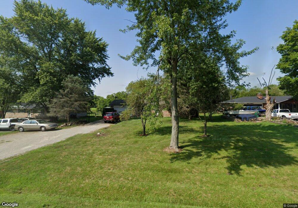
3699 State Route 123 Franklin, OH 45005
Estimated Value: $283,000 - $353,000
3
Beds
2
Baths
1,624
Sq Ft
$193/Sq Ft
Est. Value
About This Home
This home is located at 3699 State Route 123, Franklin, OH 45005 and is currently estimated at $313,075, approximately $192 per square foot. 3699 State Route 123 is a home located in Warren County with nearby schools including Clearcreek Elementary School, Dennis Elementary School, and Springboro Intermediate School.
Ownership History
Date
Name
Owned For
Owner Type
Purchase Details
Closed on
Jul 16, 2001
Sold by
Daniels Roronda
Bought by
Stamper Shaw W
Current Estimated Value
Home Financials for this Owner
Home Financials are based on the most recent Mortgage that was taken out on this home.
Original Mortgage
$85,000
Outstanding Balance
$5,382
Interest Rate
7.27%
Mortgage Type
New Conventional
Estimated Equity
$307,693
Purchase Details
Closed on
Jul 25, 1978
Sold by
Hamilton Hamilton and Hamilton Lonnie
Create a Home Valuation Report for This Property
The Home Valuation Report is an in-depth analysis detailing your home's value as well as a comparison with similar homes in the area
Home Values in the Area
Average Home Value in this Area
Purchase History
| Date | Buyer | Sale Price | Title Company |
|---|---|---|---|
| Stamper Shaw W | $120,000 | -- | |
| -- | $55,900 | -- |
Source: Public Records
Mortgage History
| Date | Status | Borrower | Loan Amount |
|---|---|---|---|
| Open | Stamper Shaw W | $85,000 |
Source: Public Records
Tax History Compared to Growth
Tax History
| Year | Tax Paid | Tax Assessment Tax Assessment Total Assessment is a certain percentage of the fair market value that is determined by local assessors to be the total taxable value of land and additions on the property. | Land | Improvement |
|---|---|---|---|---|
| 2024 | $3,239 | $78,310 | $23,100 | $55,210 |
| 2023 | $2,739 | $61,974 | $12,915 | $49,059 |
| 2022 | $2,739 | $61,975 | $12,915 | $49,060 |
| 2021 | $2,560 | $61,975 | $12,915 | $49,060 |
| 2020 | $2,387 | $50,386 | $10,500 | $39,886 |
| 2019 | $2,212 | $50,386 | $10,500 | $39,886 |
| 2018 | $2,202 | $50,386 | $10,500 | $39,886 |
| 2017 | $2,220 | $45,511 | $9,632 | $35,879 |
| 2016 | $2,310 | $45,511 | $9,632 | $35,879 |
| 2015 | $2,305 | $45,511 | $9,632 | $35,879 |
| 2014 | $2,197 | $41,000 | $8,680 | $32,320 |
| 2013 | $2,196 | $49,610 | $10,500 | $39,110 |
Source: Public Records
Map
Nearby Homes
- 2958 St Rt 122
- 2958 State Route 122
- 3085 Ohio 122
- 3626 Colton Ct
- 3095 Canvasback Ct
- 3071 Canvasback Ct
- 3077 Canvasback Ct
- 3089 Canvasback Ct
- 3083 Canvasback Ct
- 3098 Canvasback Ct
- 3086 Canvasback Ct
- 3074 Canvasback Ct
- 3092 Canvasback Ct
- 3080 Canvasback Ct
- 4271 Ohio 123
- Chattanooga Plan at Trails of Greycliff
- Somerset Plan at Trails of Greycliff
- Miramar Plan at Trails of Greycliff
- Carlisle Plan at Trails of Greycliff
- Birmingham Plan at Trails of Greycliff
- 3679 N St Rt 123
- 3679 N Route 123
- 3679 State Route 123
- 3715 State Route 123
- 3657 Ohio 123
- 3657 State Route 123
- 3733 State Route 123
- 3751 State Route 123
- 3751 St Rt 123
- 3637 State Route 123
- 3769 State Route 123
- 3769 N St Rt 123
- 3623 State Route 123
- 3605 State Route 123
- 3605 St Rt 123
- 3787 State Route 123
- 3807 State Route 123
- 3589 State Route 123
- 3571 State Route 123
- 3571 St Rt 123