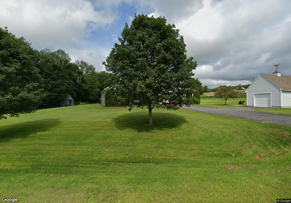
37 Blanchard Rd Springvale, ME 04083
Estimated Value: $512,057 - $563,000
3
Beds
2
Baths
2,326
Sq Ft
$230/Sq Ft
Est. Value
About This Home
This home is located at 37 Blanchard Rd, Springvale, ME 04083 and is currently estimated at $534,764, approximately $229 per square foot. 37 Blanchard Rd is a home located in York County.
Ownership History
Date
Name
Owned For
Owner Type
Purchase Details
Closed on
Nov 4, 2005
Sold by
Carpenter Constance N and Carpenter Hazen E
Bought by
Deprey Francine and Deprey Vernon A
Current Estimated Value
Create a Home Valuation Report for This Property
The Home Valuation Report is an in-depth analysis detailing your home's value as well as a comparison with similar homes in the area
Home Values in the Area
Average Home Value in this Area
Purchase History
| Date | Buyer | Sale Price | Title Company |
|---|---|---|---|
| Deprey Francine | -- | -- |
Source: Public Records
Tax History Compared to Growth
Tax History
| Year | Tax Paid | Tax Assessment Tax Assessment Total Assessment is a certain percentage of the fair market value that is determined by local assessors to be the total taxable value of land and additions on the property. | Land | Improvement |
|---|---|---|---|---|
| 2025 | $7,941 | $464,400 | $46,500 | $417,900 |
| 2024 | $7,495 | $464,400 | $46,500 | $417,900 |
| 2023 | $6,973 | $460,600 | $46,500 | $414,100 |
| 2022 | $6,817 | $460,600 | $46,500 | $414,100 |
| 2021 | $6,648 | $365,700 | $46,500 | $319,200 |
| 2020 | $6,421 | $318,500 | $46,500 | $272,000 |
| 2019 | $6,129 | $296,100 | $46,500 | $249,600 |
| 2018 | $5,380 | $281,300 | $41,800 | $239,500 |
| 2017 | $5,533 | $266,800 | $41,800 | $225,000 |
| 2016 | $5,449 | $239,600 | $41,900 | $197,700 |
| 2015 | $5,380 | $244,100 | $46,700 | $197,400 |
| 2014 | $5,535 | $245,900 | $48,400 | $197,500 |
| 2013 | -- | $256,200 | $54,500 | $201,700 |
Source: Public Records
Map
Nearby Homes
- 21 Blanchard Rd
- 10 Blanchard Rd
- 13 Blanchard Rd
- 14 Hazen Dr
- 41 Sunset Rd
- 51 Sunset Rd
- Lot 27-1 Blanchard Rd
- 630 Hanson Ridge Rd
- 0 Blanchard Rd
- 680 Hanson Ridge Rd
- 60 Hazen Dr
- 655 Hanson Ridge Rd
- 619 Hanson Ridge Rd
- 31 Hazen Dr
- 92 Blanchard Rd
- 273 Deering Neighborhood Rd
- 631 Hanson Ridge Rd
- 87 Sunset Rd
- 687 Hanson Ridge Rd
- 271 Deering Neighborhood Rd