37 Brunelle Rd Heath, MA 01346
Heath NeighborhoodEstimated Value: $255,471 - $415,000
4
Beds
1
Bath
1,742
Sq Ft
$197/Sq Ft
Est. Value
About This Home
This home is located at 37 Brunelle Rd, Heath, MA 01346 and is currently estimated at $342,490, approximately $196 per square foot. 37 Brunelle Rd is a home with nearby schools including Mohawk Trail Regional High School.
Ownership History
Date
Name
Owned For
Owner Type
Purchase Details
Closed on
Feb 6, 2022
Sold by
Thane Phyllis E
Bought by
Thane James P
Current Estimated Value
Purchase Details
Closed on
Mar 30, 2006
Sold by
Thane David A and Thane Phyllis E
Bought by
Thane Kenneth and Thane Paula
Create a Home Valuation Report for This Property
The Home Valuation Report is an in-depth analysis detailing your home's value as well as a comparison with similar homes in the area
Home Values in the Area
Average Home Value in this Area
Purchase History
| Date | Buyer | Sale Price | Title Company |
|---|---|---|---|
| Thane James P | -- | None Available | |
| Thane Kenneth | $10,000 | -- |
Source: Public Records
Tax History Compared to Growth
Tax History
| Year | Tax Paid | Tax Assessment Tax Assessment Total Assessment is a certain percentage of the fair market value that is determined by local assessors to be the total taxable value of land and additions on the property. | Land | Improvement |
|---|---|---|---|---|
| 2025 | $3,698 | $196,600 | $42,000 | $154,600 |
| 2024 | $3,326 | $162,800 | $38,000 | $124,800 |
| 2023 | $3,437 | $150,200 | $27,600 | $122,600 |
| 2022 | $3,267 | $151,900 | $27,600 | $124,300 |
| 2021 | $3,292 | $146,200 | $27,100 | $119,100 |
| 2020 | $3,253 | $146,200 | $25,600 | $120,600 |
| 2019 | $3,218 | $149,000 | $25,500 | $123,500 |
| 2018 | $3,250 | $149,000 | $25,500 | $123,500 |
| 2017 | $3,159 | $150,500 | $25,400 | $125,100 |
| 2016 | $3,109 | $151,600 | $25,400 | $126,200 |
| 2015 | $3,269 | $163,800 | $46,400 | $117,400 |
Source: Public Records
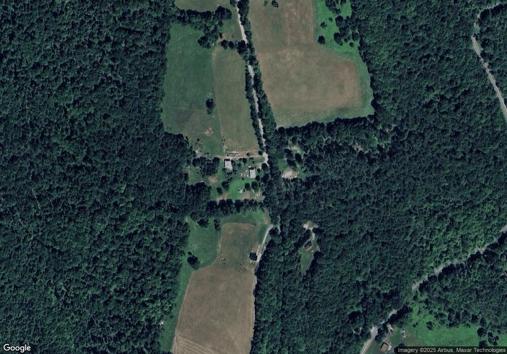
Map
Nearby Homes
- 594 Massachusetts 8a
- 442 Mcmillan Rd
- Lot 121 Davis Mine Rd
- 6 Chippewa Dr
- 60 Stone Hill Rd
- 1192 Chapel Hill Rd
- 14 South Rd
- 2173 Vermont 8a
- 139 Taylor Brook Rd
- 1154 Vermont 8a
- 32 Navaho Ln
- 61 Ed Clark Rd
- 251 Phillips Hill Rd
- 829 Pennel Hill Rd
- 380 Smith Rd
- 4668 Vermont 112
- 210 Burrington Hill Rd
- 1587 Upper Holbrook Rd
- 843 Kentfield Rd
- 201 Ford Hill Rd