37 Carter Way Strafford, NH 03884
Estimated Value: $723,548 - $962,000
3
Beds
3
Baths
2,584
Sq Ft
$335/Sq Ft
Est. Value
About This Home
This home is located at 37 Carter Way, Strafford, NH 03884 and is currently estimated at $865,887, approximately $335 per square foot. 37 Carter Way is a home located in Strafford County with nearby schools including Strafford School and Coe-Brown Northwood Academy.
Ownership History
Date
Name
Owned For
Owner Type
Purchase Details
Closed on
Jul 13, 2004
Sold by
Camelot T
Bought by
Connor James N and Connor Marjorie J
Current Estimated Value
Home Financials for this Owner
Home Financials are based on the most recent Mortgage that was taken out on this home.
Original Mortgage
$306,000
Outstanding Balance
$153,872
Interest Rate
6.32%
Mortgage Type
Purchase Money Mortgage
Estimated Equity
$712,015
Create a Home Valuation Report for This Property
The Home Valuation Report is an in-depth analysis detailing your home's value as well as a comparison with similar homes in the area
Home Values in the Area
Average Home Value in this Area
Purchase History
| Date | Buyer | Sale Price | Title Company |
|---|---|---|---|
| Connor James N | $100,000 | -- |
Source: Public Records
Mortgage History
| Date | Status | Borrower | Loan Amount |
|---|---|---|---|
| Open | Connor James N | $306,000 |
Source: Public Records
Tax History Compared to Growth
Tax History
| Year | Tax Paid | Tax Assessment Tax Assessment Total Assessment is a certain percentage of the fair market value that is determined by local assessors to be the total taxable value of land and additions on the property. | Land | Improvement |
|---|---|---|---|---|
| 2024 | $11,380 | $575,900 | $129,200 | $446,700 |
| 2023 | $10,690 | $573,500 | $129,200 | $444,300 |
| 2022 | $9,824 | $573,500 | $129,200 | $444,300 |
| 2021 | $10,587 | $573,500 | $129,200 | $444,300 |
| 2020 | $10,047 | $391,700 | $99,500 | $292,200 |
| 2019 | $9,165 | $390,500 | $99,500 | $291,000 |
| 2018 | $9,228 | $390,500 | $99,500 | $291,000 |
| 2016 | $8,298 | $390,500 | $99,500 | $291,000 |
| 2015 | $8,098 | $371,300 | $117,100 | $254,200 |
| 2014 | $8,599 | $371,300 | $117,100 | $254,200 |
| 2013 | $8,383 | $369,600 | $117,100 | $252,500 |
| 2012 | $8,272 | $369,600 | $117,100 | $252,500 |
Source: Public Records
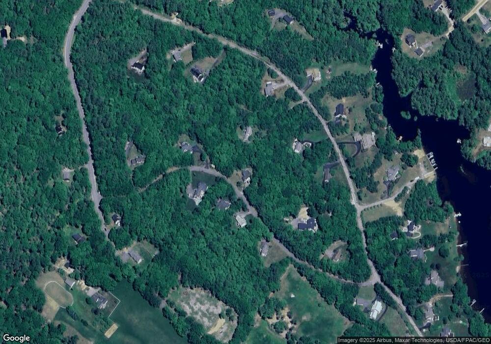
Map
Nearby Homes
- 133 & 137 Browns Pasture Rd
- Map 102 Lot 9 Kramas Ln
- 1760 Province Rd
- Map 219 Lot 6-8 Ridge Rd
- Map 3 Lot 18-2b and 18-2c Water St
- 8 Bow Lake Rd
- 11 Drake Hill Rd
- 0 1st New Hampshire Turnpike Unit 5026030
- 0 1st New Hampshire Turnpike Unit 5013320
- 150A 1st New Hampshire Turnpike
- 21 Quimby Dr
- 20 Quimby Dr
- 64 Kelsey Mill Rd
- 17 Brook Circle Rd
- 152 Evans Rd
- 152 Olde Canterbury Rd
- M37 L40 Beaver Rd
- 955 Catamount Rd
- R11 07 Clough Rd
- 19 Brook Cir
- 58 Pointe Trinity Dr
- 38 Carter Way
- 24 Carter Way
- 40 Carter Way
- 27 Carter Way
- 68 Pointe Trinity Dr
- 52 Pointe Trinity Dr
- 84 Pointe Trinity Dr
- 84 Pointe Trinity Dr Unit 1
- 74 Pointe Trinity Dr
- 50 Carter Way
- 36 Pointe Trinity Dr
- 55 Pointe Trinity Dr
- 67 Pointe Trinity Dr
- 71 Pointe Trinity Dr
- 28 Pointe Trinity Dr
- 92 Pointe Trinity Dr
- 83 Northwood Rd
- 91 Northwood Rd
- 22 Pointe Trinity Dr