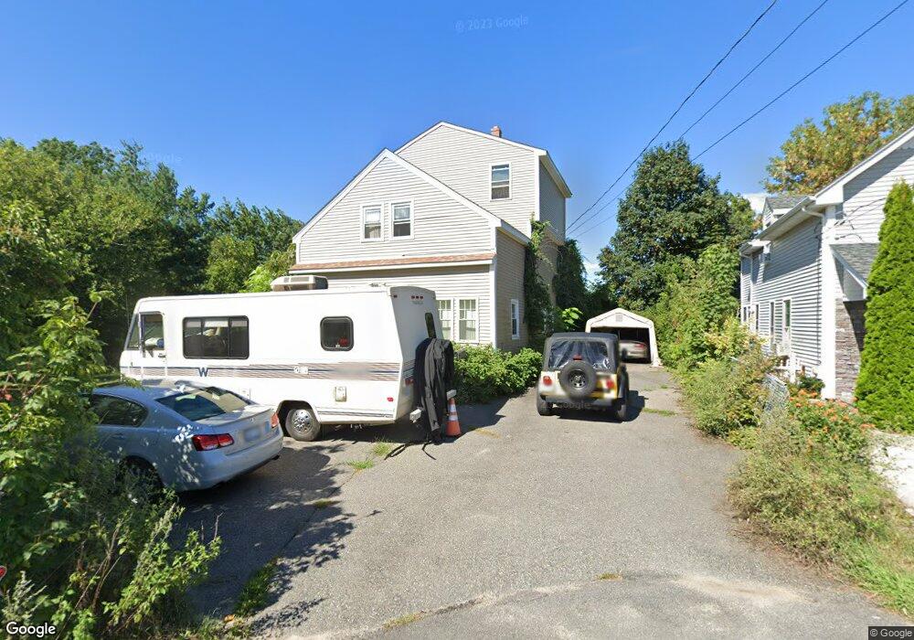
37 Crescent Ave Riverside, RI 02915
Riverside NeighborhoodEstimated Value: $417,000 - $764,630
5
Beds
2
Baths
2,250
Sq Ft
$267/Sq Ft
Est. Value
About This Home
This home is located at 37 Crescent Ave, Riverside, RI 02915 and is currently estimated at $601,658, approximately $267 per square foot. 37 Crescent Ave is a home located in Providence County with nearby schools including East Providence High School, St Mary Academy-Bay View, and The Gordon School.
Ownership History
Date
Name
Owned For
Owner Type
Purchase Details
Closed on
Oct 5, 2016
Sold by
Andrews Carol A
Bought by
Andrews 2Nd Oliver F
Current Estimated Value
Purchase Details
Closed on
Mar 4, 1999
Sold by
Pacheco John H
Bought by
Andrews Carol A
Home Financials for this Owner
Home Financials are based on the most recent Mortgage that was taken out on this home.
Original Mortgage
$118,390
Interest Rate
6.76%
Mortgage Type
Purchase Money Mortgage
Create a Home Valuation Report for This Property
The Home Valuation Report is an in-depth analysis detailing your home's value as well as a comparison with similar homes in the area
Home Values in the Area
Average Home Value in this Area
Purchase History
| Date | Buyer | Sale Price | Title Company |
|---|---|---|---|
| Andrews 2Nd Oliver F | -- | -- | |
| Andrews 2Nd Oliver F | -- | -- | |
| Andrews Carol A | $118,500 | -- | |
| Andrews Carol A | $118,500 | -- |
Source: Public Records
Mortgage History
| Date | Status | Borrower | Loan Amount |
|---|---|---|---|
| Previous Owner | Andrews Carol A | $60,000 | |
| Previous Owner | Andrews Carol A | $150,000 | |
| Previous Owner | Andrews Carol A | $118,390 |
Source: Public Records
Tax History Compared to Growth
Tax History
| Year | Tax Paid | Tax Assessment Tax Assessment Total Assessment is a certain percentage of the fair market value that is determined by local assessors to be the total taxable value of land and additions on the property. | Land | Improvement |
|---|---|---|---|---|
| 2025 | $10,720 | $820,200 | $451,200 | $369,000 |
| 2024 | $9,905 | $646,100 | $376,000 | $270,100 |
| 2023 | $9,536 | $646,100 | $376,000 | $270,100 |
| 2022 | $9,078 | $415,300 | $237,200 | $178,100 |
| 2021 | $8,929 | $415,300 | $236,600 | $178,700 |
| 2020 | $8,551 | $415,300 | $236,600 | $178,700 |
| 2019 | $8,314 | $415,300 | $236,600 | $178,700 |
| 2018 | $8,271 | $361,500 | $210,700 | $150,800 |
| 2017 | $8,087 | $361,500 | $210,700 | $150,800 |
| 2016 | $8,047 | $361,500 | $210,700 | $150,800 |
| 2015 | $6,651 | $289,800 | $142,600 | $147,200 |
| 2014 | $6,651 | $289,800 | $142,600 | $147,200 |
Source: Public Records
Map
Nearby Homes
- 88 Lincoln Ave
- 129 Cedar Ave
- 33 Pine St Unit 35
- 17 Oak Ave
- 1 Holly St
- 87 Bluff St
- 93 Narragansett Ave
- 1 Sabin St
- 129 Shore Rd
- 72 Stowe Ave
- 81 Sprague Ave
- 25 Arnold St
- 43 Bullocks Point Ave Unit 4C
- 31 Bullocks Point Ave Unit 2A
- 151 Willett Ave Unit 2
- 151 Willett Ave Unit 5
- 25 Bullocks Point Ave Unit 5C
- 1 Fales St
- 57 Harris St
- 25 Read St
- 33 Crescent Ave
- 29 Crescent Ave
- 29 Crescent Ave
- 25 Crescent Ave
- 100 Lincoln Ave
- 85 Lincoln Ave
- 21 Crescent Ave Unit 23
- 20 Crescent Ave
- 105 Maple Ave
- 96 Lincoln Ave
- 17 Crescent Ave
- 101 Maple Ave
- 113 Maple Ave Unit 2
- 113 Maple Ave
- 121 Maple Ave
- 121 Maple Ave Unit 3
- 121 Maple Ave Unit 1
- 121 Maple Ave Unit 2
- 83 Lincoln Ave
- 14 Crescent Ave